Old Maps of Coleta, Alabama for Genealogy
Trace your family roots with 16 historic maps of Coleta. These high-res maps reveal old neighborhoods, homesites, landmarks, and streets — helping you uncover where your ancestors lived and how the area evolved over time.
- Explore historic neighborhoods: Identify where your relatives may have lived in the 1800s or 1900s.
- Compare maps over time: Trace the changes in streets, buildings, and landmarks for multi-generational research.
- Perfect for genealogy & ancestry research: Used by family historians and researchers to map out lineage and migration.
These maps are an incredible resource for exploring your personal connection to Coleta's past.
Coleta, AL maps
(16)- 1890 Map of Talladega
 1890 Talladega1890 Print · USGSTalladega and the surrounding river valleys are captured here in the late nineteenth century as the railroad and river economy flourished. Trace the locations of historic river crossings like Old Kymulga Ferry and local landmarks such as Odens Mill.
 - 1892 Map of Talladega
 1892 Talladega1892 Print · USGSTalladega County and the Coosa River valley are captured here in the late nineteenth century as the regional rail network expanded through the mountains. Researchers can locate old river crossings like Chancelors Ferry, rural landmarks such as Edwards Store, and early hubs like Childersburgh.6 unique versions available
 - 1943 Map of Talladega, 1972 Print
 1943 Talladega1972 Print · USGSTalladega and its mountain ridges are captured here during the early years of the Second World War, showing a landscape defined by rail and rural industry. Researchers can trace family roots through numerous country landmarks like Reynolds Mill, the County Training School, and Winterboro.2 unique versions available
 - 1946 Map of Talladega
 1946 Talladega1946 Print · USGSTalladega and its surrounding hill country are captured here in the mid-1940s as a vital railroad and milling crossroads. Genealogists can locate family landmarks like Allison Mills, Antioch Ch, and the Mardisville Sch among the rural settlements.2 unique versions available
 - 1953 Map of Birmingham, 1964 Print
 1953 Birmingham1964 Print · USGSCentral Alabama at mid-century shows a landscape defined by industrial expansion and the iron-rich ridges surrounding Birmingham. Researchers can trace the extensive rail networks of the L & N RR or locate historic federal sites like the Anniston Ordnance Depot.4 unique versions available
 - 1956 Map of Birmingham
 1956 Birmingham1956 Print · USGSCentral Alabama in the mid-fifties exhibits a landscape of growing cities and deep-rooted industrial corridors. Genealogists and historians can trace the development of suburban Mountain Brook or locate regional hubs like Sylacauga and Jasper.
 - 1957 Map of Birmingham
 1957 Birmingham1957 Print · USGSNorth-Central Alabama in the mid-fifties is an industrial powerhouse centered on the steel valleys and sprawling iron ridges. Genealogists and historians can trace the rail-linked growth of Birmingham and Tuscaloosa, or locate rural landmarks like Talladega College and the Anniston Ordnance Depot.
 - 1975 Map of Talladega SE, 1977 Print
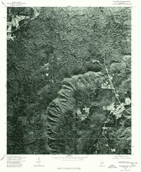 1975 Talladega SE1977 Print · USGSTalladega County comes into sharp focus during the mid-seventies in this detailed aerial orthophotograph. Researchers can examine rural land patterns and trace the terrain surrounding Chandlers Springs and the banks of Talladega Creek.
 - 1984 Map of Birmingham South, 1985 Print
 1984 Birmingham South1985 Print · USGSThe Birmingham metropolitan region and the Coosa River valley are shown here in the mid-eighties as suburban growth expanded south into the ridges. Genealogists and local historians can trace the development of communities from Bessemer to Sylacauga alongside the Lay Lake shoreline and the Talladega National Forest.2 unique versions available
 - 1987 Map of Porter Gap
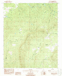 1987 Porter Gap1987 Print · USGSTalladega and Clay counties are shown here in the late twentieth century as the national forest boundary encompasses prominent ridges and small valleys. Trace family roots at Germany Cem, find old rural congregations like Weewoka Ch, or follow the high Skyway Motorway across Horn Mountain.
 - 2001 Map of Porter Gap, 2004 Print
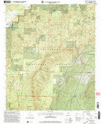 2001 Porter Gap2004 Print · USGSTalladega and Clay counties are shown at the start of the new millennium, centered on the high ridges and gaps of the southern Appalachians. Genealogists can trace family sites at Germany Cem or visit community anchors like Weewoka Ch and Waldo.
 - 2011 Map of Porter Gap, 2011 Print
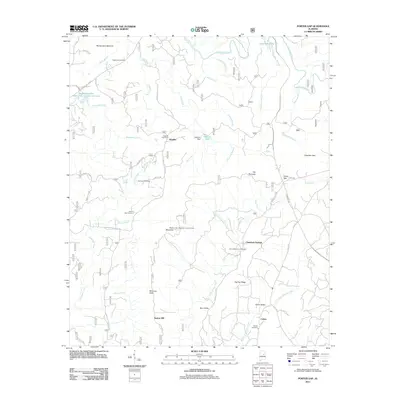 2011 Porter Gap2011 Print · USGSTalladega County’s ridges and creek valleys are documented here during the early twenty-first century, showing a landscape defined by mountain gaps and rural settlements. Genealogists can trace local roots through Pilgrim Rest Cemetery and Horns Memorial Cemetery or locate old sites like Taylors Mill.
 - 2014 Map of Porter Gap, 2014 Print
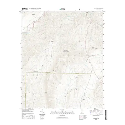 2014 Porter Gap2014 Print · USGSTalladega and Clay counties meet in this modern survey of the national forest and its surrounding rural communities. Researchers can trace family history at Pilgrim Rest Cem or explore landmarks like Sherman Cliffs and the settlement of Chambers Springs.
 - 2018 Map of Porter Gap, 2018 Print
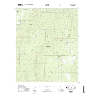 2018 Porter Gap2018 Print · USGSThe foothills of the southern Appalachians come into focus during the late 2010s as the Pinhoti NRT winds through the Talladega National Forest. Researchers can locate several family burial grounds including Moberley Cem and Harvell Cem near the small community of Waldo.
 - 2021 Map of Porter Gap, 2021 Print
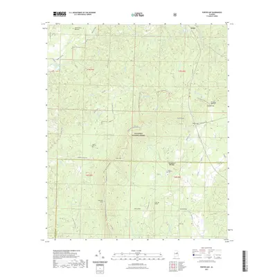 2021 Porter Gap2021 Print · USGSThe Alabama backcountry near the Talladega and Clay county line is revealed here in the early twenty-first century. Genealogists and hikers can trace the Pinhoti National Recreation Trail as it passes Germany Cem, Waldo, and Horns Memorial Cem.
 - 2024 Map of Porter Gap, 2024 Print
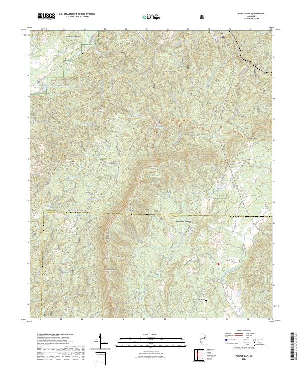 2024 Porter Gap2024 Print · USGSThe ridges of the Talladega National Forest meet the valley settlements of Waldo and Chambers Springs in this modern look at rural Alabama. Researchers can trace family history at Horns Memorial Cem or locate topographic landmarks like Sherman Cliffs and Porter Gap.
End of results
Showing maps 1-16 of 16
Top cities near Coleta
- Talladega historical maps
- Sylacauga historical maps
- Ashland historical maps
- Stewartville historical maps
- Goodwater historical maps
- New Site historical maps
See more
Frequently asked questions
- What are the different types of historical maps available for Coleta?
- What is the oldest map of Coleta?
- Where can I purchase historical maps of Coleta for my home or office?
- Where can I download high-res historical maps of Coleta?
- Are there historical topographic maps available for Coleta?
- Is there historical aerial imagery available for Coleta?
- Where are historical maps of Coleta sourced from?