Old Maps of Lineville, Alabama for Hiking & Exploration
Hike through history with 17 historic maps of Lineville. Explore old trails, ghost towns, and forgotten backroads — perfect for outdoor adventurers and local explorers.
- Rediscover forgotten places: Map out old mining camps, roads, and footpaths that no longer exist on modern maps.
- Layer with modern tools: Combine with LiDAR or satellite views to plan hikes through historical terrain.
- Made for exploration: Popular among hikers, overlanders, and local history lovers.
Use these maps to find adventure and explore the hidden past of Lineville.
Lineville, AL maps
(17)- 1891 Map of Ashland
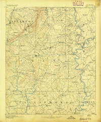 1891 Ashland1891 Print · USGSEast Central Alabama in the late nineteenth century is defined by the sharp ridges of the mountains and the vital crossings of the Tallapoosa River. Genealogists can trace family movements across Malone's Ferry or locate vanished sites like the Pine Tuckey Town Site and Ironaton.5 unique versions available
 - 1953 Map of Atlanta, 1965 Print
 1953 Atlanta1965 Print · USGSThe growing Atlanta metro and the industrial corridors of Eastern Alabama are captured here during the mid-century transition. Researchers can trace the rail-to-road shift through hubs like Anniston and La Grange or locate sites within Fort McClellan.2 unique versions available
 - 1957 Map of Atlanta
 1957 Atlanta1957 Print · USGSAtlanta and the Alabama borderlands appear here in the mid-fifties, capturing the region's post-war suburban and industrial transition. Trace the development of early transport hubs and military sites like Fort McPherson, Anniston, and the Kennesaw Mountain National Battlefield Park.
 - 1958 Map of Atlanta
 1958 Atlanta1958 Print · USGSMid-century Georgia and Alabama are shown in this regional study of the corridor between the Chattahoochee River and the Appalachian foothills. Local historians can trace the development of suburban Atlanta alongside vital landmarks like Stone Mountain, Dobbins AFB, and the Seaboard Air Line rail routes.
 - 1969 Map of Lineville West, 1974 Print
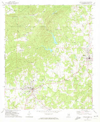 1969 Lineville West1974 Print · USGSCentral Clay County comes alive in the late sixties as the local economy transitions between the rail-side hamlets of Pyriton and the growing hubs of Ashland and Lineville. Trace rural heritage through landmarks like Shireys Mill, Old Field Cem, and the County Training Sch.2 unique versions available
 - 1970 Map of Lineville East, 1973 Print
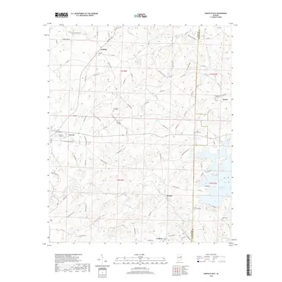
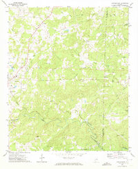 1970 Lineville East1973 Print · USGSClay County's rural heartland is documented here in the early 1970s as agricultural life centered around the railroad and local creeks. Researchers can trace the path of the Seaboard Coast Line or locate family sites like Sweetwater Cem and Barfield.2 unique versions available
 - 1978 Map of La Grange, 1980 Print
 1978 La Grange1980 Print · USGSThe Alabama-Georgia borderlands are captured here in the late seventies, just as the newly formed West Point Lake reshaped the eastern landscape. Local historians can trace the Seaboard Coast Line rail corridor through hubs like Roanoke, Ashland, and Lineville.
 - 2011 Map of Lineville West, 2011 Print
 2011 Lineville West2011 Print · USGSCovers Lineville, including Ashland, Bowden Grove, and other nearby areas
 - 2011 Map of Lineville East, 2011 Print
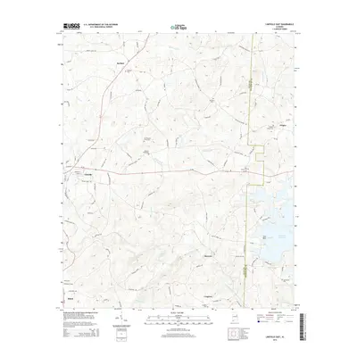
 2011 Lineville East2011 Print · USGSCovers Lineville, including Shiloh, Dingler, and other nearby areas
 - 2014 Map of Lineville West, 2014 Print
 2014 Lineville West2014 Print · USGSCovers Lineville, including Ashland, Bowden Grove, and other nearby areas
 - 2014 Map of Lineville East, 2014 Print
 2014 Lineville East2014 Print · USGSCovers Lineville, including Shiloh, Dingler, and other nearby areas
 - 2018 Map of Lineville East, 2018 Print
 2018 Lineville East2018 Print · USGSCovers Lineville, including Shiloh, Dingler, and other nearby areas
 - 2018 Map of Lineville West, 2018 Print
 2018 Lineville West2018 Print · USGSCovers Lineville, including Ashland, Bowden Grove, and other nearby areas
 - 2020 Map of Lineville East, 2020 Print
 2020 Lineville East2020 Print · USGSCovers Lineville, including Shiloh, Dingler, and other nearby areas
 - 2021 Map of Lineville West, 2021 Print
 2021 Lineville West2021 Print · USGSCovers Lineville, including Ashland, Bowden Grove, and other nearby areas
 - 2024 Map of Lineville East, 2024 Print
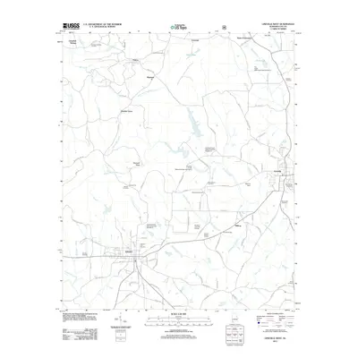
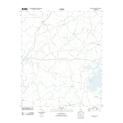
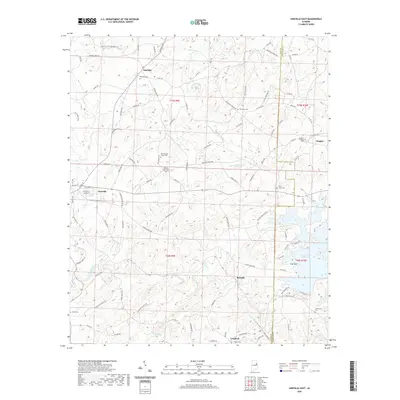
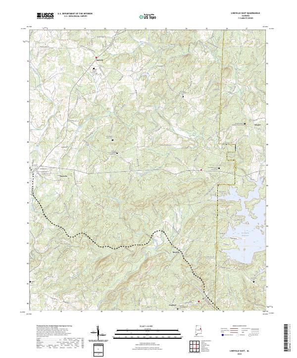 2024 Lineville East2024 Print · USGSClay and Randolph Counties come alive in this recent survey showing the landscape around Lineville and the R L Harris Reservoir. Genealogists can trace family roots through several local landmarks like Barfield Baptist Church Cem and the settlement of Cragford.
 - 2024 Map of Lineville West, 2024 Print
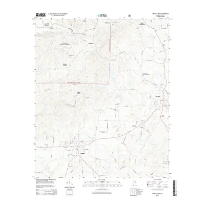
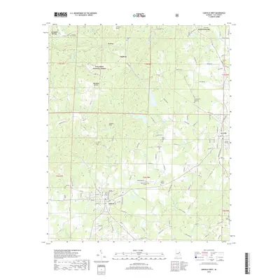
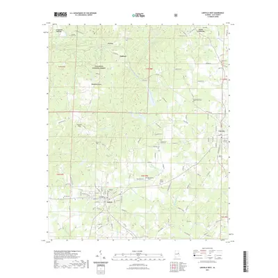
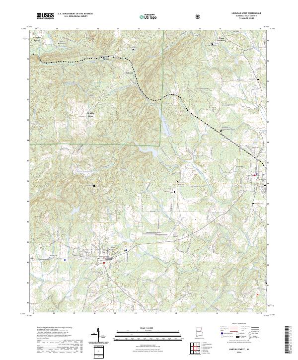 2024 Lineville West2024 Print · USGSThe upland terrain of Clay County comes into sharp focus during this recent survey of the ridges between Ashland and Lineville. Genealogists can trace family footprints through numerous rural landmarks, including Campbell Springs Cem, Oak Grove Cem, and the historic Clay County Courthouse.
End of results
Showing maps 1-17 of 17
Top cities near Lineville
- Ashland historical maps
- Munford historical maps
- Hollis Crossroads historical maps
- Wadley historical maps
- Millerville historical maps
Top neighborhoods of Lineville
Frequently asked questions
- What are the different types of historical maps available for Lineville?
- What is the oldest map of Lineville?
- Where can I purchase historical maps of Lineville for my home or office?
- Where can I download high-res historical maps of Lineville?
- Are there historical topographic maps available for Lineville?
- Is there historical aerial imagery available for Lineville?
- Where are historical maps of Lineville sourced from?