2000s (21st Century) Maps of Edwardsville, Alabama
Explore 11 historic maps of Edwardsville from the 2000s (21st Century). These maps offer a rare glimpse into what life looked like during the 2000s — showing old roads, neighborhoods, homes, and landmarks that have changed or disappeared over time.
Whether you're researching your family's past, planning a metal detecting trip, or studying how Edwardsville's landscape evolved across the 2000s, these high-resolution maps are a powerful tool for exploring the history of this region.
- Focus on a specific era: All maps on this page are from the 2000s, giving you a focused view of this time period.
- See what’s changed: Compare century-old streets, trails, and buildings to today's modern landscape using overlays and satellite layers.
- Research with precision: Use these maps for genealogy, historical research, land use analysis, or educational projects.
- View, download, or print: Maps are fully viewable online in high resolution, and can be downloaded or printed for your own records.
Start exploring Edwardsville's history through authentic maps from the 2000s. This is your window into the past.
Edwardsville, AL maps
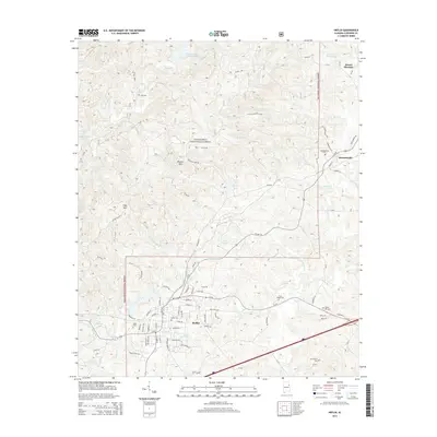
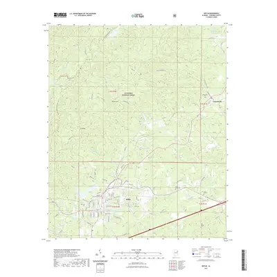
(11)- 2001 Map of Heflin, 2004 Print
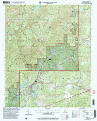 2001 Heflin2004 Print · USGSHeflin and Edwardsville sit at the intersection of town life and the protected wilderness of the Talladega National Forest at the turn of the century. Researchers can trace local heritage through Heflin Training School and several burial sites like Old Liberty Cem and Cane Creek Ch Cem.
 - 2011 Map of Fruithurst, 2011 Print
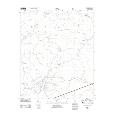
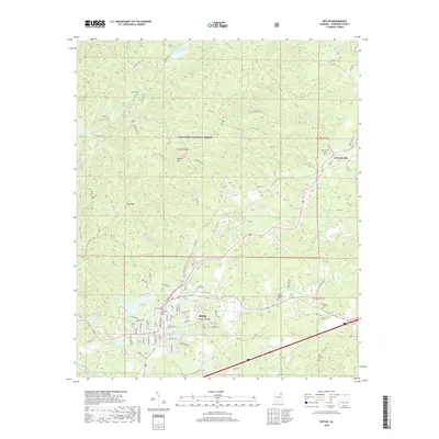
 2011 Fruithurst2011 Print · USGSCovers Edwardsville, including Heflin, Fruithurst, and other nearby areas
 - 2011 Map of Heflin, 2011 Print
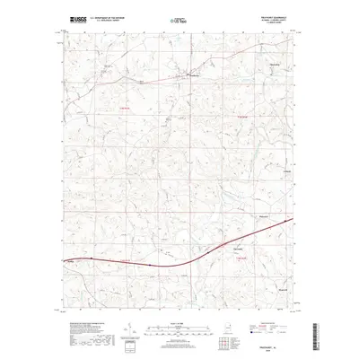
 2011 Heflin2011 Print · USGSCovers Edwardsville, including Heflin, Mount Pleasant, and other nearby areas
 - 2014 Map of Fruithurst, 2014 Print
 2014 Fruithurst2014 Print · USGSCovers Edwardsville, including Heflin, Fruithurst, and other nearby areas
 - 2014 Map of Heflin, 2014 Print
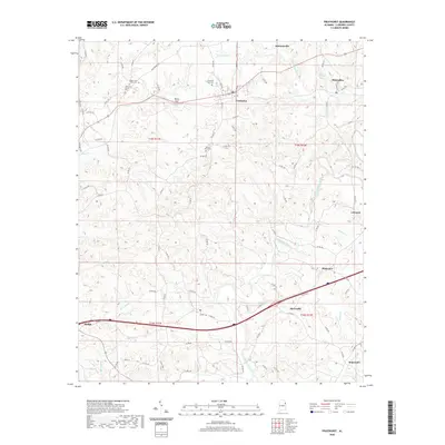
 2014 Heflin2014 Print · USGSCovers Edwardsville, including Heflin, Mount Pleasant, and other nearby areas
 - 2018 Map of Heflin, 2018 Print
 2018 Heflin2018 Print · USGSCovers Edwardsville, including Heflin, Mount Pleasant, and other nearby areas
 - 2018 Map of Fruithurst, 2018 Print
 2018 Fruithurst2018 Print · USGSCovers Edwardsville, including Heflin, Fruithurst, and other nearby areas
 - 2020 Map of Fruithurst, 2020 Print
 2020 Fruithurst2020 Print · USGSCovers Edwardsville, including Heflin, Fruithurst, and other nearby areas
 - 2021 Map of Heflin, 2021 Print
 2021 Heflin2021 Print · USGSCovers Edwardsville, including Heflin, Mount Pleasant, and other nearby areas
 - 2024 Map of Heflin, 2024 Print
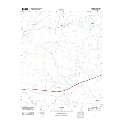
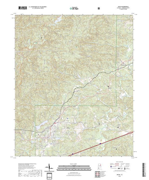 2024 Heflin2024 Print · USGSHeflin and the surrounding Cleburne County hills appear here in the early twenty-first century, showing the intersection of local industry and public forest land. Researchers can trace family sites at Heflin Cem, the Cleburne County Courthouse, and Old Liberty Church Cem.
 - 2024 Map of Fruithurst, 2024 Print
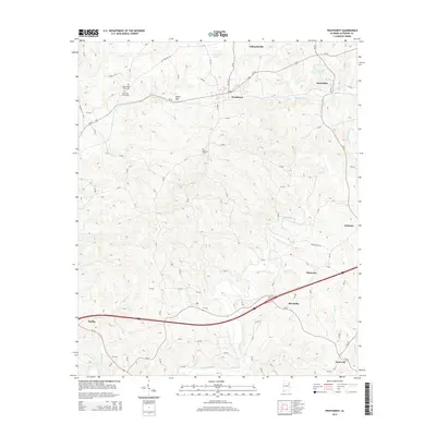
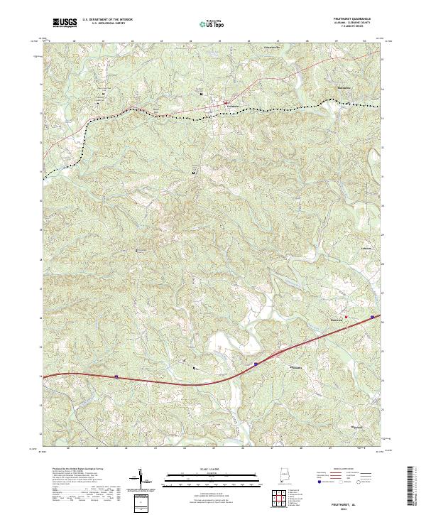 2024 Fruithurst2024 Print · USGSCleburne County's ridge-and-valley landscape is captured here in recent years, showing the enduring rural layout of communities near the Georgia border. Genealogists can pinpoint local burial sites like Fruithurst City Cem and trace the paths of OLD GEORGIA RD and the Tallapoosa River.
End of results
Showing maps 1-11 of 11
Top cities near Edwardsville
- Oxford historical maps
- Jacksonville historical maps
- Piedmont historical maps
- Heflin historical maps
- Tallapoosa historical maps
- Choccolocco historical maps
See more
Frequently asked questions
- What are the different types of historical maps available for Edwardsville?
- What is the oldest map of Edwardsville?
- Where can I purchase historical maps of Edwardsville for my home or office?
- Where can I download high-res historical maps of Edwardsville?
- Are there historical topographic maps available for Edwardsville?
- Is there historical aerial imagery available for Edwardsville?
- Where are historical maps of Edwardsville sourced from?