Old Maps of Piedmont, Alabama
Explore 20 old maps of Piedmont, spanning from 1900 to today. These high-resolution historic maps reveal how streets, neighborhoods, landmarks, and natural features evolved over time — perfect for genealogy, metal detecting, research, and local history exploration.
What you can do with these maps:
- See how Piedmont changed over time: Compare historical maps to modern-day views to trace roads, homesites, rail lines & more.
- View detailed metadata: Each map includes creators, publishers, year, scale, and archive source.
- Overlay maps with satellite & LiDAR: Visualize the past alongside modern tools to explore terrain & human change.
- Trusted historical sources: Maps sourced from the USGS, Library of Congress, and other archives.
- Access maps your way: View online, download high-res files, or order prints for personal or research use.
Start exploring old maps of Piedmont to uncover forgotten places, hidden landmarks, and the deep history beneath your feet.
Piedmont, AL maps
(20)- 1900 Map of Anniston
 1900 Anniston1900 Print · USGSNortheast Alabama thrived as a railroad and industrial crossroads at the turn of the century. Genealogists and researchers can trace family landmarks and early transport hubs from the Coosa River to Anniston, including Salt Creek Church and Fowler Ferry.6 unique versions available
 - 1953 Map of Atlanta, 1965 Print
 1953 Atlanta1965 Print · USGSThe growing Atlanta metro and the industrial corridors of Eastern Alabama are captured here during the mid-century transition. Researchers can trace the rail-to-road shift through hubs like Anniston and La Grange or locate sites within Fort McClellan.2 unique versions available
 - 1957 Map of Atlanta
 1957 Atlanta1957 Print · USGSAtlanta and the Alabama borderlands appear here in the mid-fifties, capturing the region's post-war suburban and industrial transition. Trace the development of early transport hubs and military sites like Fort McPherson, Anniston, and the Kennesaw Mountain National Battlefield Park.
 - 1958 Map of Atlanta
 1958 Atlanta1958 Print · USGSMid-century Georgia and Alabama are shown in this regional study of the corridor between the Chattahoochee River and the Appalachian foothills. Local historians can trace the development of suburban Atlanta alongside vital landmarks like Stone Mountain, Dobbins AFB, and the Seaboard Air Line rail routes.
 - 1967 Map of Piedmont NW, 1969 Print
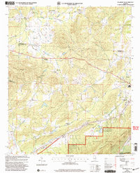
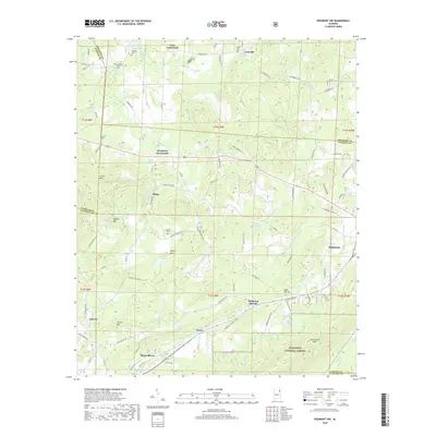
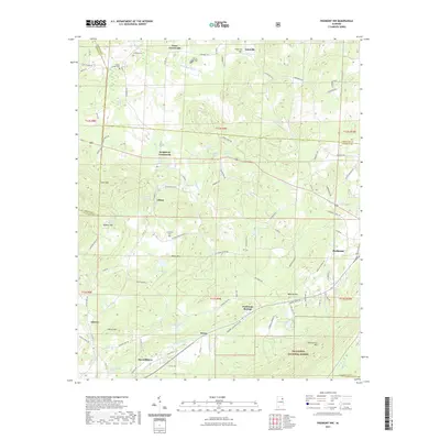
 1967 Piedmont NW1969 Print · USGSNortheast Alabama in the late sixties reveals a landscape of mountain ridges and rail-side settlements. Genealogists can trace family landmarks and rural life through Knightens Crossroads, Webb Sch, and the historic tracks of the Southern Railway.3 unique versions available
 - 1967 Map of Piedmont, 1969 Print
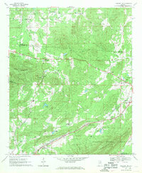
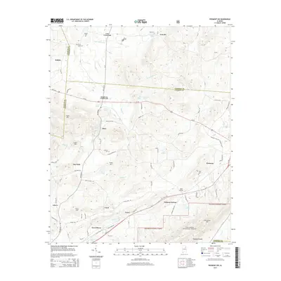
 1967 Piedmont1969 Print · USGSPiedmont and the surrounding valleys of the Alabama Piedmont are captured in the late sixties as the region's rail networks and mountain industry thrived. Researchers can trace family sites from McFrey Crossroads to Vigo, or locate old landmarks like Bethune Ch and Goshen Cem.3 unique versions available
 - 1975 Map of Piedmont, 1977 Print
 1975 Piedmont1977 Print · USGSPiedmont and the surrounding Alabama countryside are shown in this mid-seventies photographic study. Genealogists and local historians can trace property boundaries and land use patterns along the banks of Terrapin Creek.
 - 1981 Map of Anniston, 1982 Print
 1981 Anniston1982 Print · USGSNortheast Alabama and the Georgia borderlands come alive in the early eighties, showing a landscape of heavy industry, military outposts, and mountain forests. Genealogists and historians can trace the development of towns like Anniston and Carrollton, or locate landmarks such as Whitesides Mill and Webster Chapel.2 unique versions available
 - 2001 Map of Piedmont, 2004 Print
 2001 Piedmont2004 Print · USGSPiedmont and the surrounding forest lands are documented here just after the millennium, showing the town's interface with the protected wilderness. Researchers can find family landmarks like Goshen Cem or trace the rural routes through McFrey Crossroads and Spring Garden.
 - 2001 Map of Piedmont NW, 2004 Print
 2001 Piedmont NW2004 Print · USGSCalhoun County's rural crossroads and ridge-side communities are captured here at the turn of the millennium. Genealogists and local historians can trace family-named sites like Estes Crossroads, Knightens Chapel, and the settlement of Maxwellborn.
 - 2011 Map of Piedmont, 2011 Print
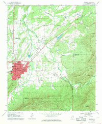
 2011 Piedmont2011 Print · USGSCovers Piedmont, including Spring Garden, Pleasant Gap, and other nearby areas
 - 2011 Map of Piedmont NW, 2011 Print
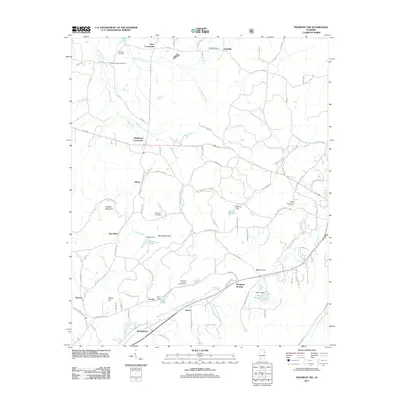 2011 Piedmont NW2011 Print · USGSCovers Piedmont, including Knightens Crossroads, Prices, and other nearby areas
 - 2014 Map of Piedmont, 2014 Print
 2014 Piedmont2014 Print · USGSCovers Piedmont, including Spring Garden, Pleasant Gap, and other nearby areas
 - 2014 Map of Piedmont NW, 2014 Print
 2014 Piedmont NW2014 Print · USGSCovers Piedmont, including Knightens Crossroads, Prices, and other nearby areas
 - 2018 Map of Piedmont NW, 2018 Print
 2018 Piedmont NW2018 Print · USGSCovers Piedmont, including Knightens Crossroads, Prices, and other nearby areas
 - 2018 Map of Piedmont, 2018 Print
 2018 Piedmont2018 Print · USGSCovers Piedmont, including Spring Garden, Pleasant Gap, and other nearby areas
 - 2021 Map of Piedmont, 2021 Print
 2021 Piedmont2021 Print · USGSCovers Piedmont, including Spring Garden, Pleasant Gap, and other nearby areas
 - 2021 Map of Piedmont NW, 2021 Print
 2021 Piedmont NW2021 Print · USGSCovers Piedmont, including Knightens Crossroads, Prices, and other nearby areas
 - 2024 Map of Piedmont NW, 2024 Print
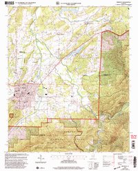
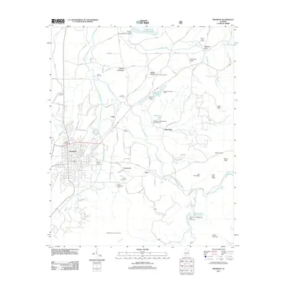
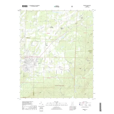
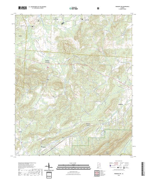 2024 Piedmont NW2024 Print · USGSNortheastern Alabama’s ridge-and-valley terrain comes into focus in this contemporary survey of the Calhoun County area. Researchers can trace ancestral locations near Lebanon Cem, old crossroads like Knightens Crossroads, and water sources such as Maxwellborn Spring.
 - 2024 Map of Piedmont, 2024 Print
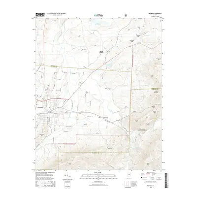
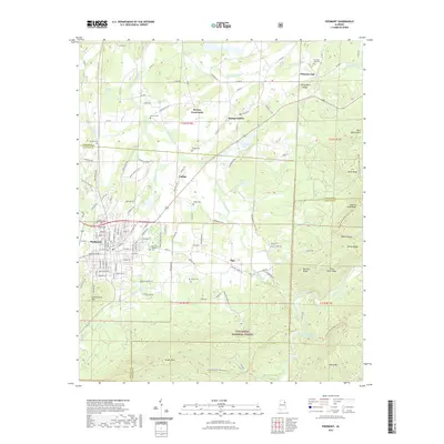
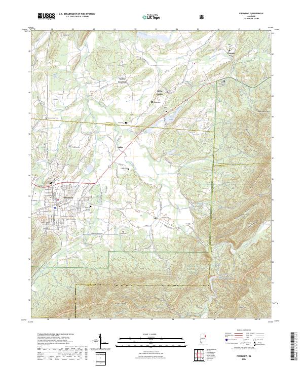 2024 Piedmont2024 Print · USGSPiedmont and the surrounding valleys of Cherokee and Calhoun Counties are shown here in modern detail. Researchers can trace local heritage through numerous sites like Ladiga Cem, Hanks Cem, and the old crossroads at Spring Garden.
End of results
Showing maps 1-20 of 20
Top cities near Piedmont
- Anniston historical maps
- Jacksonville historical maps
- Saks historical maps
- Hokes Bluff historical maps
- Centre historical maps
- Weaver historical maps
See more
Frequently asked questions
- What are the different types of historical maps available for Piedmont?
- What is the oldest map of Piedmont?
- Where can I purchase historical maps of Piedmont for my home or office?
- Where can I download high-res historical maps of Piedmont?
- Are there historical topographic maps available for Piedmont?
- Is there historical aerial imagery available for Piedmont?
- Where are historical maps of Piedmont sourced from?