Old Maps of Cherokee, Alabama for Academic Research
Study the evolution of Cherokee with 24 high-resolution historic maps. Whether you're teaching, researching, or modeling changes in land use, these maps provide essential visual documentation of urban, environmental, and geographic change.
- Analyze long-term change: Track patterns in development, transportation, and natural features.
- Ideal for environmental or urban studies: Support academic projects with primary historical map data.
- Use in the classroom or lab: Educators and researchers rely on these maps to bring historical context to life.
These maps are a powerful tool for teaching, research, and visualizing how Cherokee has changed over the decades.
Cherokee, AL maps
(24)- 1924 Map of Gravelly Springs
 1924 Gravelly Springs1924 Print · USGSLauderdale County at the edge of the Tennessee River reveals a vibrant rural society in the mid-twenties, centered on the river and the rail line. Researchers can trace the heritage of vanished landmarks like Lyle Academy, the Colbert Shoals Canal, and the Oakland School (Colored).2 unique versions available
 - 1925 Map of Barton, 1954 Print
 1925 Barton1954 Print · USGSColbert and Franklin Counties are captured here in the mid-twenties, showing a landscape of river-valley agriculture and rugged uplands. Researchers can locate dozens of rural landmarks, from the rail stop at Barton to country schools like Whiteoak Sch and Jonesboro Sch.
 - 1926 Map of Barton
 1926 Barton1926 Print · USGSNorthwest Alabama's river hills and rail corridors come alive in this mid-twenties survey of Colbert and Franklin Counties. Genealogists can trace family roots through numerous local landmarks like Evening Shade Church, Back Creek School, and the settlement at Frankfort.
 - 1926 Map of Gravelly Springs
 1926 Gravelly Springs1926 Print · USGSNorthwest Alabama is seen here in the mid-twenties, when the river and rail lines dictated the rhythm of Lauderdale and Colbert counties. Genealogists can locate family landmarks like Lyle Academy, Youngs Store, and the Colbert Shoals Canal.2 unique versions available
 - 1929 Map of Barton
 1929 Barton1929 Print · USGSIn the late 1920s, this area of Northwest Alabama was a patchwork of creek-side farms and small railroad stops. Researchers can trace the layout of early rural life through community hubs like Barton, Crooked Oak, and the Evening Shade Ch school and church.3 unique versions available
 - 1935 Map of Cherokee
 1935 Cherokee1935 Print · USGSNorthern Alabama is captured in the mid-1930s as the TVA prepares to inundate the valley for the Pickwick Landing Reservoir. Genealogists and historians can trace family-named sites like Perkins Cem, Moontown Ch, and the town of Cherokee.
 - 1936 Map of Barton
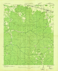 1936 Barton1936 Print · USGSColbert County's rugged southern uplands are captured here in the mid-1930s, showing the intersection of new Tennessee Valley Authority power lines with traditional mountain life. Genealogists can locate family names at Barton Cem, Newsom Spring Sch, and the isolated Mt Zion Ch.
 - 1953 Map of Barton, 1974 Print
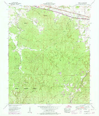 1953 Barton1974 Print · USGSColbert County's corridor between Cherokee and Barton is shown here in the mid-1950s, highlighting the transition from railside commerce to the deep hollows of Mills Mountain Ridge. Researchers can find legacy sites like Mountain Mills School, the Old Newsom Springs Cem, and the Barton Compressor Station.4 unique versions available
 - 1954 Map of Cherokee, 1958 Print
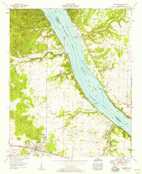 1954 Cherokee1958 Print · USGSCherokee and the Tennessee River valley are documented here in the mid-fifties as the region balanced its rail-town roots with new shoreline developments. Local historians can trace old wagon routes and family landmarks like Monk Chapel, Smithsonia, and the historic Natchez Trace.4 unique versions available
 - 1956 Map of Gadsden, 1966 Print
 1956 Gadsden1966 Print · USGSNorth Alabama in the mid-1950s shows a region transformed by river engineering and federal industry. Genealogists and local historians can trace the development of the Tennessee Valley through the growth of Huntsville, the sprawling Redstone Arsenal, and the expansive Guntersville Lake.3 unique versions available
 - 1958 Map of Gadsden
 1958 Gadsden1958 Print · USGSNorth Alabama comes alive in the late 1950s as the Tennessee Valley Authority’s massive river projects and the rise of the space industry reshaped the landscape. Researchers can trace the mid-century footprints of Huntsville, Redstone Arsenal, and the riverside rail networks of the Southern railroad.
 - 1960 Map of Gadsden
 1960 Gadsden1960 Print · USGSNorthern Alabama in the mid-1950s is defined by the mighty Tennessee River and its massive reservoirs. Trace the development of Huntsville and Redstone Arsenal or explore the vast William B Bankhead National Forest.2 unique versions available
 - 1963 Map of Gadsden
 1963 Gadsden1963 Print · USGSNorthern Alabama underwent a dramatic mid-century transformation as the Tennessee Valley became a hub for defense and industry. Researchers can trace the development of the Redstone Arsenal, the route of the Natchez Trace Parkway, and long-standing rail lines like the Southern Railway.
 - 1986 Map of Tuscumbia
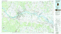 1986 Tuscumbia1986 Print · USGSThe Tennessee River valley in the mid-1980s shows a landscape transformed by massive reservoirs and industrial hubs. Genealogists and local historians can trace the development of the Shoals area and locate rural communities like Tharp Town, Leighton, and Rogersville.3 unique versions available
 - 2011 Map of Barton, 2011 Print
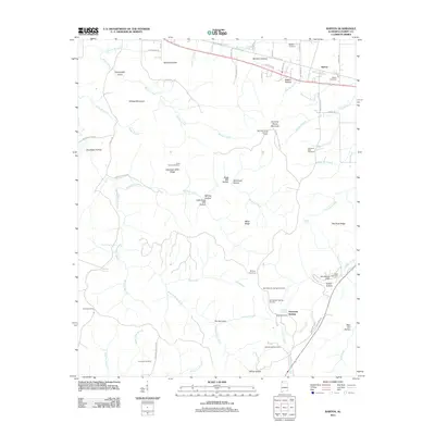 2011 Barton2011 Print · USGSBarton and the rugged ridges of Colbert County are captured here in the early twenty-first century. Local historians can trace the deep-rooted geography of family cemeteries and landmarks, from Dug Post Office and Barton Cemetery to the Mountain Mills Lookout Tower.
 - 2011 Map of Cherokee, 2011 Print
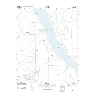 2011 Cherokee2011 Print · USGSNorthwest Alabama at the start of the 2010s reveals a landscape shaped by the Tennessee River and deep-rooted family settlements. Genealogists can locate numerous local burial sites including Cherokee Cemetery and Johnson Cemetery, alongside landmarks like Kirk Post Office.
 - 2014 Map of Cherokee, 2014 Print
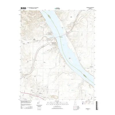 2014 Cherokee2014 Print · USGSColbert County and Lauderdale County meet at the Tennessee River in this 2014 survey. Researchers can locate numerous historic family burial grounds like Rutland Cemetery and Pride Cemetery or trace the route of the Natchez Trace Parkway.
 - 2014 Map of Barton, 2014 Print
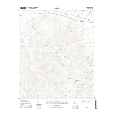 2014 Barton2014 Print · USGSColbert County in the early twenty-first century remains a landscape of deep-rooted community heritage and unique local landmarks. Genealogists can locate family names at Watkins Cemetery and Barton Cemetery, or explore the storied Coondog Cemetery and Newsome Springs.
 - 2018 Map of Cherokee, 2018 Print
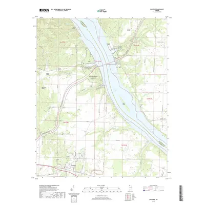 2018 Cherokee2018 Print · USGSColbert and Lauderdale counties meet at the wide waters of the Tennessee River in the late 2010s. Local researchers can trace family history through a wealth of sites like Cherokee Cem, Rutland Cem, and the settlement of Georgetown.
 - 2018 Map of Barton, 2018 Print
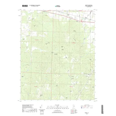 2018 Barton2018 Print · USGSColbert County in the late twenty-tens reveals a landscape where deep-seated local history meets the rugged hills of Northwest Alabama. Researchers can trace family sites from Barton to Cherokee, or locate rural burial grounds like Mountain Mills Cem and the unique Key Underwood Coondog Memorial Park.
 - 2020 Map of Barton, 2020 Print
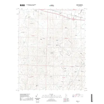 2020 Barton2020 Print · USGSColbert County's highland ridges and historic hollows are documented here as they appeared in recent years. Genealogists and historians can locate numerous rural burial sites like Davis Temple Cem and the unique Key Underwood Coondog Memorial Park.
 - 2020 Map of Cherokee, 2020 Print
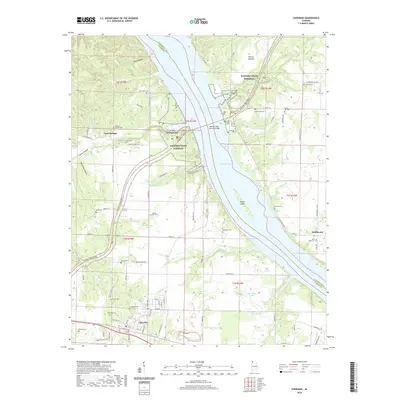 2020 Cherokee2020 Print · USGSCherokee and the Tennessee River valley appear in high detail during the early twenty-first century. Genealogists can locate family burial sites like Cherokee Cem and Thompson Cem while tracing the Natchez Trace Pkwy across Pickwick Lake.
 - 2024 Map of Barton, 2024 Print
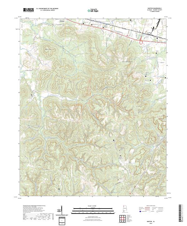 2024 Barton2024 Print · USGSThe communities of Cherokee and Barton are shown here as they appear today, nestled among the ridges and hollows of Colbert County. Genealogists and local historians can locate numerous small burial sites, including Coon Dog Cem, Mountain Mills Cem, and Atkisson Cem.
 - 2024 Map of Cherokee, 2024 Print
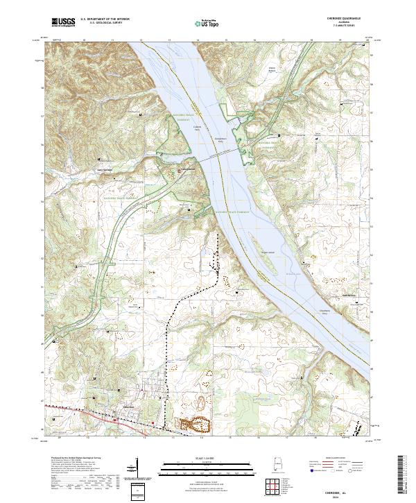 2024 Cherokee2024 Print · USGSNorthwestern Alabama's river crossings and rural communities are preserved in this contemporary record of the Lauderdale and Colbert County border. Researchers can trace ancestral sites and historic river transit at Colberts Ferry, Mhoontown Cem, and Rutland Chapel.
End of results
Showing maps 1-24 of 24
Top cities near Cherokee
Frequently asked questions
- What are the different types of historical maps available for Cherokee?
- What is the oldest map of Cherokee?
- Where can I purchase historical maps of Cherokee for my home or office?
- Where can I download high-res historical maps of Cherokee?
- Are there historical topographic maps available for Cherokee?
- Is there historical aerial imagery available for Cherokee?
- Where are historical maps of Cherokee sourced from?