2000s (21st Century) Maps of Tuscumbia, Alabama
Explore 10 historic maps of Tuscumbia from the 2000s (21st Century). These maps offer a rare glimpse into what life looked like during the 2000s — showing old roads, neighborhoods, homes, and landmarks that have changed or disappeared over time.
Whether you're researching your family's past, planning a metal detecting trip, or studying how Tuscumbia's landscape evolved across the 2000s, these high-resolution maps are a powerful tool for exploring the history of this region.
- Focus on a specific era: All maps on this page are from the 2000s, giving you a focused view of this time period.
- See what’s changed: Compare century-old streets, trails, and buildings to today's modern landscape using overlays and satellite layers.
- Research with precision: Use these maps for genealogy, historical research, land use analysis, or educational projects.
- View, download, or print: Maps are fully viewable online in high resolution, and can be downloaded or printed for your own records.
Start exploring Tuscumbia's history through authentic maps from the 2000s. This is your window into the past.
Tuscumbia, AL maps
(10)- 2011 Map of Pride, 2011 Print
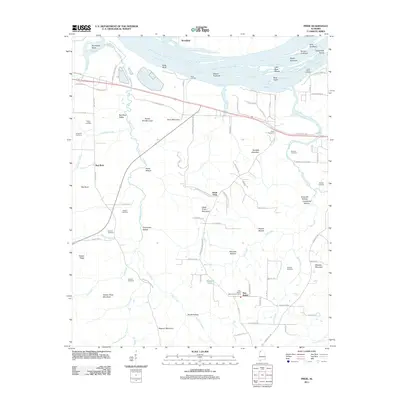 2011 Pride2011 Print · USGSCovers Tuscumbia, including Hawk Pride, New Bethel, and other nearby areas
 - 2011 Map of Tuscumbia, 2011 Print
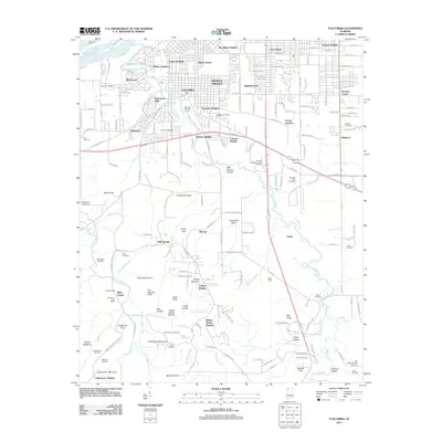 2011 Tuscumbia2011 Print · USGSCovers Tuscumbia, including Muscle Shoals, Sheffield, and other nearby areas
 - 2014 Map of Tuscumbia, 2014 Print
 2014 Tuscumbia2014 Print · USGSCovers Tuscumbia, including Muscle Shoals, Sheffield, and other nearby areas
 - 2014 Map of Pride, 2014 Print
 2014 Pride2014 Print · USGSCovers Tuscumbia, including Hawk Pride, New Bethel, and other nearby areas
 - 2018 Map of Tuscumbia, 2018 Print
 2018 Tuscumbia2018 Print · USGSCovers Tuscumbia, including Muscle Shoals, Sheffield, and other nearby areas
 - 2018 Map of Pride, 2018 Print
 2018 Pride2018 Print · USGSCovers Tuscumbia, including Hawk Pride, New Bethel, and other nearby areas
 - 2020 Map of Tuscumbia, 2020 Print
 2020 Tuscumbia2020 Print · USGSCovers Tuscumbia, including Muscle Shoals, Sheffield, and other nearby areas
 - 2020 Map of Pride, 2020 Print
 2020 Pride2020 Print · USGSCovers Tuscumbia, including Hawk Pride, New Bethel, and other nearby areas
 - 2024 Map of Pride, 2024 Print
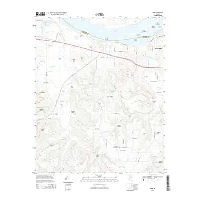
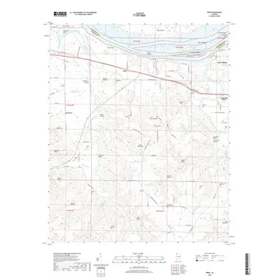
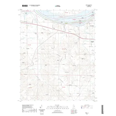
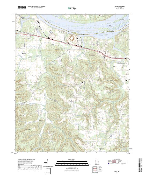 2024 Pride2024 Print · USGSThe Tennessee River valley in Colbert County comes into focus here during the early twenty-first century. Genealogists and historians can trace family locations through numerous sites like Nazareth Cem, Sherrod Cem, and the settlement at Pride Bluff.
 - 2024 Map of Tuscumbia, 2024 Print
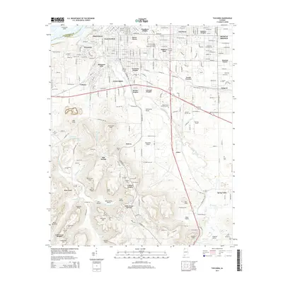
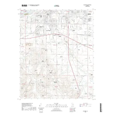
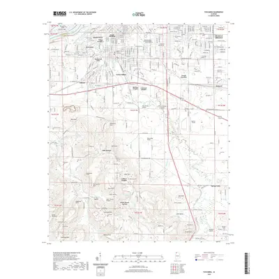
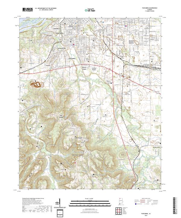 2024 Tuscumbia2024 Print · USGSColbert County's tri-city area of Tuscumbia, Sheffield, and Muscle Shoals is shown here along the Tennessee River. Researchers can trace dozens of family and community burial sites like Isbell Chapel Cem or locate landmarks such as Poorhouse Mtn.
End of results
Showing maps 1-10 of 10
Top cities near Tuscumbia
- Florence historical maps
- Muscle Shoals historical maps
- Russellville historical maps
- Sheffield historical maps
- Underwood-Petersville historical maps
- Littleville historical maps
See more
Top neighborhoods of Tuscumbia
- Valdosta historical maps
- Colonial Heights historical maps
- Richmond Hills historical maps
- Trenholm Heights historical maps
- Belview Heights historical maps
- Dogwood Court Apartments historical maps
See more
Frequently asked questions
- What are the different types of historical maps available for Tuscumbia?
- What is the oldest map of Tuscumbia?
- Where can I purchase historical maps of Tuscumbia for my home or office?
- Where can I download high-res historical maps of Tuscumbia?
- Are there historical topographic maps available for Tuscumbia?
- Is there historical aerial imagery available for Tuscumbia?
- Where are historical maps of Tuscumbia sourced from?