Old Maps of Green Street, Alabama for Academic Research
Study the evolution of Green Street with 9 high-resolution historic maps. Whether you're teaching, researching, or modeling changes in land use, these maps provide essential visual documentation of urban, environmental, and geographic change.
- Analyze long-term change: Track patterns in development, transportation, and natural features.
- Ideal for environmental or urban studies: Support academic projects with primary historical map data.
- Use in the classroom or lab: Educators and researchers rely on these maps to bring historical context to life.
These maps are a powerful tool for teaching, research, and visualizing how Green Street has changed over the decades.
Green Street, AL maps
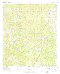
(9)- 1953 Map of Andalusia, 1965 Print
 1953 Andalusia1965 Print · USGSSouth Alabama in the mid-twentieth century remains a land of pine forests and river-fed settlements. You can trace the vital rail corridors of the Louisville & Nashville and locate regional centers such as Andalusia, Brewton, and Monroeville.3 unique versions available
 - 1957 Map of Andalusia
 1957 Andalusia1957 Print · USGSSouthern Alabama in the mid-1950s was a landscape defined by timbered stretches and the rhythmic flow of the Alabama River. Researchers can trace the legacy of the rail era through the Central of Georgia tracks and the storied river bluffs at Choctaw Bluff.
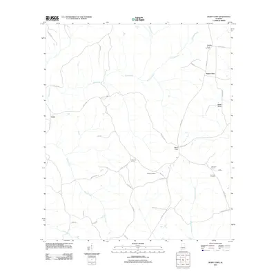
 - 1971 Map of Burnt Corn, 1974 Print
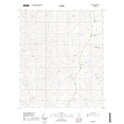
 1971 Burnt Corn1974 Print · USGSThe Monroe and Conecuh county line in the early 1970s reveals a quiet landscape of rural settlements and agricultural crossroads. You can trace the Louisville and Nashville railroad and locate sites like Harpers Store, Burnt Corn, and Pilgrim Rest Ch.
 - 1986 Map of Monroeville
 1986 Monroeville1986 Print · USGSMonroe and Clarke counties are captured here in the mid-eighties, centered on the river valleys of the Alabama River and Tombigbee River. Genealogists and local historians can trace legacy settlements like Burnt Corn, Whatley, and the river site of Claiborne.2 unique versions available
 - 2011 Map of Burnt Corn, 2011 Print
 2011 Burnt Corn2011 Print · USGSCovers Green Street, including Ramah, Burnt Corn, and other nearby areas
 - 2014 Map of Burnt Corn, 2014 Print
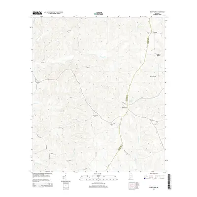 2014 Burnt Corn2014 Print · USGSCovers Green Street, including Ramah, Burnt Corn, and other nearby areas
 - 2018 Map of Burnt Corn, 2018 Print
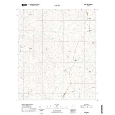 2018 Burnt Corn2018 Print · USGSCovers Green Street, including Ramah, Burnt Corn, and other nearby areas
 - 2020 Map of Burnt Corn, 2020 Print
 2020 Burnt Corn2020 Print · USGSCovers Green Street, including Ramah, Burnt Corn, and other nearby areas
 - 2024 Map of Burnt Corn, 2024 Print
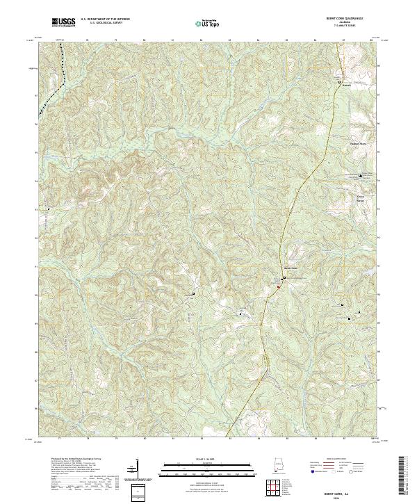 2024 Burnt Corn2024 Print · USGSSouthern Monroe County is documented here in a recent survey of its rural crossroads and family settlements. Genealogists can trace lineage through numerous local sites like Burnt Corn Methodist Cem, Ramah, and Puryearville Cem.
End of results
Showing maps 1-9 of 9
Top cities near Green Street
- Monroeville historical maps
- Evergreen historical maps
- Excel historical maps
- Repton historical maps
- Beatrice historical maps
Frequently asked questions
- What are the different types of historical maps available for Green Street?
- What is the oldest map of Green Street?
- Where can I purchase historical maps of Green Street for my home or office?
- Where can I download high-res historical maps of Green Street?
- Are there historical topographic maps available for Green Street?
- Is there historical aerial imagery available for Green Street?
- Where are historical maps of Green Street sourced from?