Old Maps of Horn Hill, Alabama for Hiking & Exploration
Hike through history with 15 historic maps of Horn Hill. Explore old trails, ghost towns, and forgotten backroads — perfect for outdoor adventurers and local explorers.
- Rediscover forgotten places: Map out old mining camps, roads, and footpaths that no longer exist on modern maps.
- Layer with modern tools: Combine with LiDAR or satellite views to plan hikes through historical terrain.
- Made for exploration: Popular among hikers, overlanders, and local history lovers.
Use these maps to find adventure and explore the hidden past of Horn Hill.
Horn Hill, AL maps
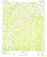
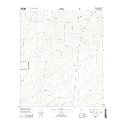
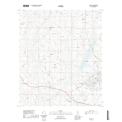
(15)- 1953 Map of Andalusia, 1965 Print
 1953 Andalusia1965 Print · USGSSouth Alabama in the mid-twentieth century remains a land of pine forests and river-fed settlements. You can trace the vital rail corridors of the Louisville & Nashville and locate regional centers such as Andalusia, Brewton, and Monroeville.3 unique versions available
 - 1957 Map of Andalusia
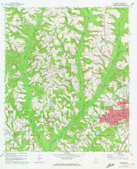
 1957 Andalusia1957 Print · USGSSouthern Alabama in the mid-1950s was a landscape defined by timbered stretches and the rhythmic flow of the Alabama River. Researchers can trace the legacy of the rail era through the Central of Georgia tracks and the storied river bluffs at Choctaw Bluff.
 - 1971 Map of Onycha, 1973 Print
 1971 Onycha1973 Print · USGSSouthern Covington County comes alive in this early 1970s survey of rural Alabama settlements and family landmarks. Researchers can trace the Louisville and Nashville line past Onycha or locate country churches like New Hope Ch.
 - 1971 Map of Opp West, 1973 Print
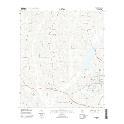
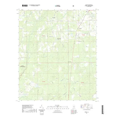
 1971 Opp West1973 Print · USGSCovington County settlement expanded west of the railroad in the early seventies, centered on the growing town of Opp. Researchers can trace local heritage through landmarks like Douglas MacArthur State Tech Inst, Gardner Chapel, and the Henderson Cem.2 unique versions available
 - 1986 Map of Andalusia
 1986 Andalusia1986 Print · USGSCovington County and the Wiregrass region are shown here in the mid-1980s, centered on the growing hubs of Andalusia and Opp. Genealogists and local historians can trace legacy sites like the Old Pioneer Cem, Straughn Sch, and the rail lines of the Louisville and Nashville RR.2 unique versions available
 - 2011 Map of Onycha, 2011 Print
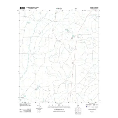 2011 Onycha2011 Print · USGSCovers Horn Hill, including Opp, Onycha, and other nearby areas
 - 2011 Map of Opp West, 2011 Print
 2011 Opp West2011 Print · USGSCovers Horn Hill, including Opp, Babbie, and other nearby areas
 - 2014 Map of Onycha, 2014 Print
 2014 Onycha2014 Print · USGSCovers Horn Hill, including Opp, Onycha, and other nearby areas
 - 2014 Map of Opp West, 2014 Print
 2014 Opp West2014 Print · USGSCovers Horn Hill, including Opp, Babbie, and other nearby areas
 - 2018 Map of Onycha, 2018 Print
 2018 Onycha2018 Print · USGSCovers Horn Hill, including Opp, Onycha, and other nearby areas
 - 2018 Map of Opp West, 2018 Print
 2018 Opp West2018 Print · USGSCovers Horn Hill, including Opp, Babbie, and other nearby areas
 - 2020 Map of Opp West, 2020 Print
 2020 Opp West2020 Print · USGSCovers Horn Hill, including Opp, Babbie, and other nearby areas
 - 2021 Map of Onycha, 2021 Print
 2021 Onycha2021 Print · USGSCovers Horn Hill, including Opp, Onycha, and other nearby areas
 - 2024 Map of Onycha, 2024 Print
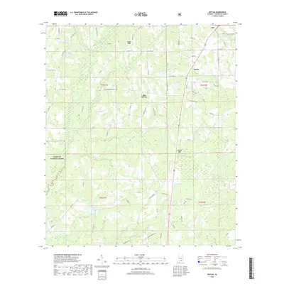
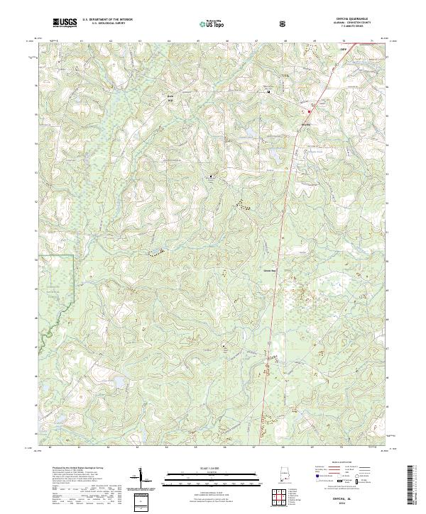 2024 Onycha2024 Print · USGSThe rural landscapes of southern Covington County come alive in this survey of the Onycha area and the Conecuh National Forest. Researchers can trace the heritage of local communities at Horn Hill, Green Bay, and burial sites like the New Hope Cem.
 - 2024 Map of Opp West, 2024 Print
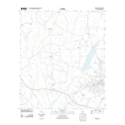
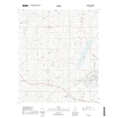
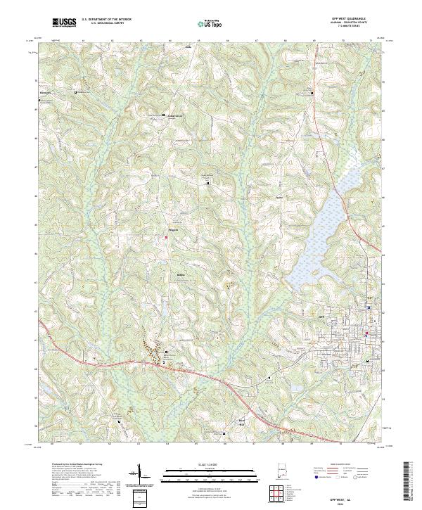 2024 Opp West2024 Print · USGSCovington County's rural heartland and the city of Opp are mapped here in the modern era, showing a landscape defined by creeks and community roots. Researchers can locate numerous family sites and historic grounds including Babbie Cem, Hickory Grove Cem, and Harmony Baptist Church.
End of results
Showing maps 1-15 of 15
Top cities near Horn Hill
- Andalusia historical maps
- Opp historical maps
- Elba historical maps
- Florala historical maps
- Babbie historical maps
- Kinston historical maps
See more
Frequently asked questions
- What are the different types of historical maps available for Horn Hill?
- What is the oldest map of Horn Hill?
- Where can I purchase historical maps of Horn Hill for my home or office?
- Where can I download high-res historical maps of Horn Hill?
- Are there historical topographic maps available for Horn Hill?
- Is there historical aerial imagery available for Horn Hill?
- Where are historical maps of Horn Hill sourced from?