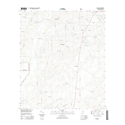
2014 Map of Onycha
USGS Topo · Published 2014About this map
The Yellow River flows southward through this Covington County landscape, joined by its tributaries Taylor Mill Cr and Indian Cr as it skirts the eastern edge of the Conecuh National Forest. The map documents a predominantly rural and agricultural environment punctuated by small community nodes such as Horn Hill, Onycha, Blue Springs, and Green Bay. These settlements are linked by a network of local roads and the prominent corridor of Us-331, which serves as a primary north-south artery toward Opp.
Find a feature on this map
72 named features on this map. Tap any name to fly to it.
Don’t see what you’re looking for? This feature index may not catch every label — zoom into the map to look around manually.
Map Details
Editions of this 2014 Onycha Map
This is the sole edition of this map. No revisions or reprints were ever made.
Other maps of this area
1953 · Andalusia
USGS Topo · 1:250,000
1957 · Andalusia
USGS Topo · 1:250,000
1968 · Opp East
USGS Topo · 1:24,000
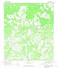
1969 · Hacoda
USGS Topo · 1:24,000
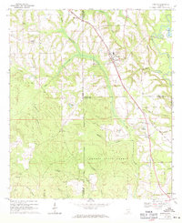
1969 · Kinston
USGS Topo · 1:24,000
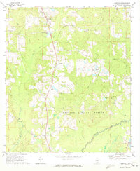
1971 · Libertyville
USGS Topo · 1:24,000
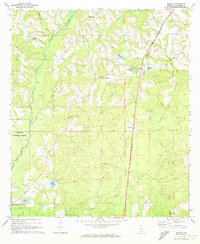
1971 · Onycha
USGS Topo · 1:24,000
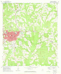
1971 · Andalusia
USGS Topo · 1:24,000
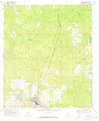
1971 · Florala
USGS Topo · 1:24,000
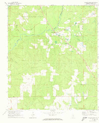
1971 · Watkins Bridge
USGS Topo · 1:24,000