Old Maps of Dozier, Alabama for Academic Research
Study the evolution of Dozier with 28 high-resolution historic maps. Whether you're teaching, researching, or modeling changes in land use, these maps provide essential visual documentation of urban, environmental, and geographic change.
- Analyze long-term change: Track patterns in development, transportation, and natural features.
- Ideal for environmental or urban studies: Support academic projects with primary historical map data.
- Use in the classroom or lab: Educators and researchers rely on these maps to bring historical context to life.
These maps are a powerful tool for teaching, research, and visualizing how Dozier has changed over the decades.
Dozier, AL maps
(28)- 1953 Map of Andalusia, 1965 Print
 1953 Andalusia1965 Print · USGSSouth Alabama in the mid-twentieth century remains a land of pine forests and river-fed settlements. You can trace the vital rail corridors of the Louisville & Nashville and locate regional centers such as Andalusia, Brewton, and Monroeville.3 unique versions available
 - 1957 Map of Andalusia
 1957 Andalusia1957 Print · USGSSouthern Alabama in the mid-1950s was a landscape defined by timbered stretches and the rhythmic flow of the Alabama River. Researchers can trace the legacy of the rail era through the Central of Georgia tracks and the storied river bluffs at Choctaw Bluff.
 - 1971 Map of Dozier, 1973 Print
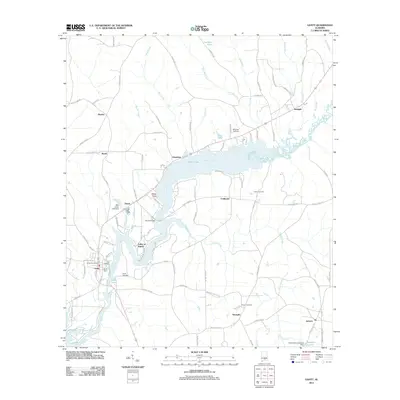
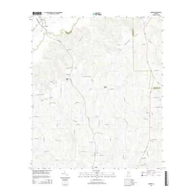
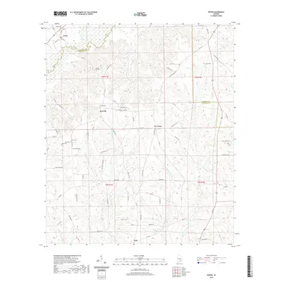
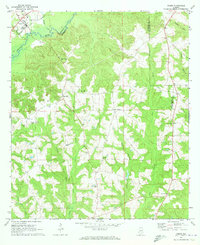 1971 Dozier1973 Print · USGSDozier and the surrounding Covington-Crenshaw county line are captured here in the early seventies, centered on the Conecuh River valley. Researchers can trace the Central of Georgia rail corridor and locate family sites like Rose Hill Cem and Pleasant Call Ch.
 - 1971 Map of Brantley, 1973 Print
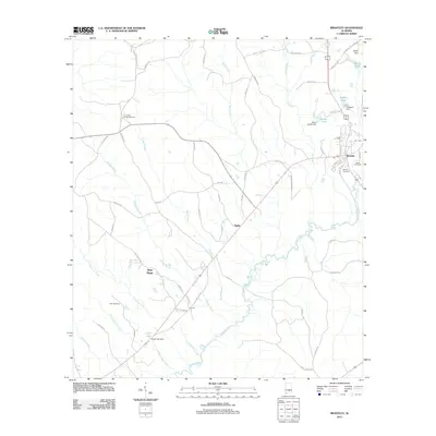
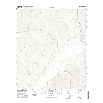
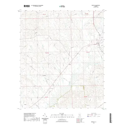
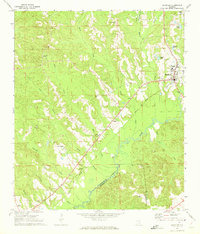 1971 Brantley1973 Print · USGSCrenshaw and Covington counties come together at the Conecuh River in the early 1970s, as the Central of Georgia rail line links the timber and farm lands. Trace family roots at Mt Olive Ch Cem, Sasser Ch Cem, and the rural community of Theba.
 - 1971 Map of Gantt, 1973 Print
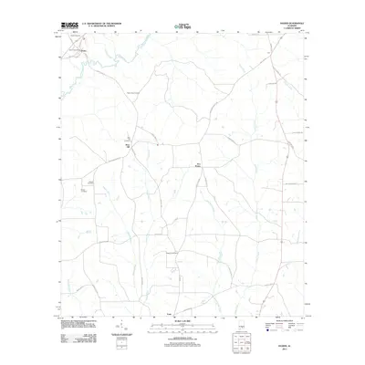
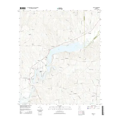
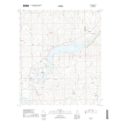
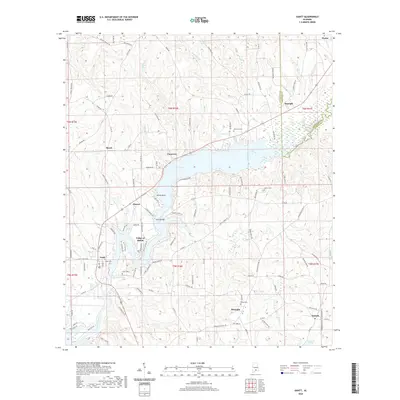
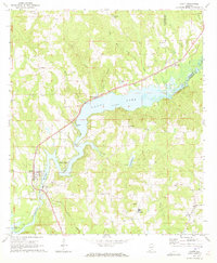 1971 Gantt1973 Print · USGSCovington County communities surround the impounded waters of the Conecuh River in the early seventies. Genealogists and historians can trace family locations near Gantt Lake and find rural landmarks like Zion Chapel Ch, Dunns Bridge, and the community of Searight.2 unique versions available
 - 1971 Map of Leon, 1973 Print
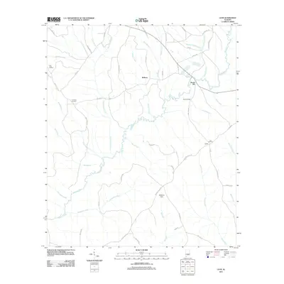
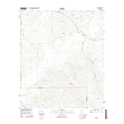
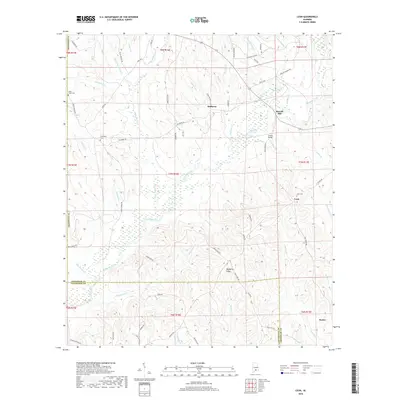
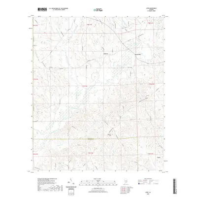
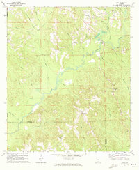 1971 Leon1973 Print · USGSCrenshaw County in the early seventies reveals a landscape of dispersed rural settlements and active creek-side industry. Genealogists and local historians can trace old homesteads and landmarks like Merrill Mill, Zion Ch Cem, and the community of Leon.
 - 1986 Map of Andalusia
 1986 Andalusia1986 Print · USGSCovington County and the Wiregrass region are shown here in the mid-1980s, centered on the growing hubs of Andalusia and Opp. Genealogists and local historians can trace legacy sites like the Old Pioneer Cem, Straughn Sch, and the rail lines of the Louisville and Nashville RR.2 unique versions available
 - 1986 Map of Greenville
 1986 Greenville1986 Print · USGSMid-century South Central Alabama comes alive in this survey of the creek-laced timberlands and rail-dependent towns between the Gulf Coastal Plain and the Piedmont. Researchers can trace family roots through numerous country landmarks like Magnolia Cem, Spring Hill Ch, and the Butler County State Wildlife Management Area.2 unique versions available
 - 2011 Map of Gantt, 2011 Print
 2011 Gantt2011 Print · USGSCovers Dozier, including Gantt, Antioch, and other nearby areas
 - 2011 Map of Leon, 2011 Print
 2011 Leon2011 Print · USGSCovers Dozier, including Merrill Mill, Mulberry, and other nearby areas
 - 2011 Map of Brantley, 2011 Print
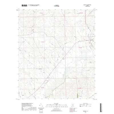
 2011 Brantley2011 Print · USGSCovers Dozier, including Brantley, Theba, and other nearby areas
 - 2011 Map of Dozier, 2011 Print
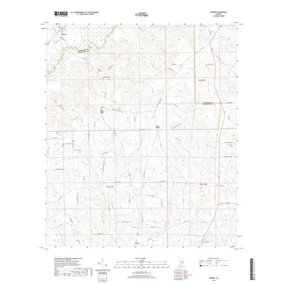
 2011 Dozier2011 Print · USGSCovers Dozier, including Rose Hill, Five Points, and other nearby areas
 - 2014 Map of Dozier, 2014 Print
 2014 Dozier2014 Print · USGSCovers Dozier, including Rose Hill, Five Points, and other nearby areas
 - 2014 Map of Brantley, 2014 Print
 2014 Brantley2014 Print · USGSCovers Dozier, including Brantley, Theba, and other nearby areas
 - 2014 Map of Gantt, 2014 Print
 2014 Gantt2014 Print · USGSCovers Dozier, including Gantt, Antioch, and other nearby areas
 - 2014 Map of Leon, 2014 Print
 2014 Leon2014 Print · USGSCovers Dozier, including Merrill Mill, Mulberry, and other nearby areas
 - 2018 Map of Dozier, 2018 Print
 2018 Dozier2018 Print · USGSCovers Dozier, including Rose Hill, Five Points, and other nearby areas
 - 2018 Map of Brantley, 2018 Print
 2018 Brantley2018 Print · USGSCovers Dozier, including Brantley, Theba, and other nearby areas
 - 2018 Map of Gantt, 2018 Print
 2018 Gantt2018 Print · USGSCovers Dozier, including Gantt, Antioch, and other nearby areas
 - 2018 Map of Leon, 2018 Print
 2018 Leon2018 Print · USGSCovers Dozier, including Merrill Mill, Mulberry, and other nearby areas
 - 2020 Map of Dozier, 2020 Print
 2020 Dozier2020 Print · USGSCovers Dozier, including Rose Hill, Five Points, and other nearby areas
 - 2020 Map of Brantley, 2020 Print
 2020 Brantley2020 Print · USGSCovers Dozier, including Brantley, Theba, and other nearby areas
 - 2020 Map of Leon, 2020 Print
 2020 Leon2020 Print · USGSCovers Dozier, including Merrill Mill, Mulberry, and other nearby areas
 - 2020 Map of Gantt, 2020 Print
 2020 Gantt2020 Print · USGSCovers Dozier, including Gantt, Antioch, and other nearby areas
 - 2024 Map of Leon, 2024 Print
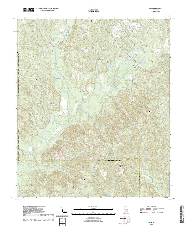 2024 Leon2024 Print · USGSCrenshaw and Covington counties are captured here in the early twenty-first century, showing a landscape shaped by the waters of Patsaliga Creek. Researchers can trace local heritage through landmarks like Merrill Mill and several family-named burial grounds including Saint Lukes Cem.
Showing maps 1-25 of 28
Top cities near Dozier
- Andalusia historical maps
- Opp historical maps
- Luverne historical maps
- Brantley historical maps
- Babbie historical maps
- River Falls historical maps
See more
Frequently asked questions
- What are the different types of historical maps available for Dozier?
- What is the oldest map of Dozier?
- Where can I purchase historical maps of Dozier for my home or office?
- Where can I download high-res historical maps of Dozier?
- Are there historical topographic maps available for Dozier?
- Is there historical aerial imagery available for Dozier?
- Where are historical maps of Dozier sourced from?