Old Maps of Luverne, Alabama
Explore 21 old maps of Luverne, spanning from 1953 to today. These high-resolution historic maps reveal how streets, neighborhoods, landmarks, and natural features evolved over time — perfect for genealogy, metal detecting, research, and local history exploration.
What you can do with these maps:
- See how Luverne changed over time: Compare historical maps to modern-day views to trace roads, homesites, rail lines & more.
- View detailed metadata: Each map includes creators, publishers, year, scale, and archive source.
- Overlay maps with satellite & LiDAR: Visualize the past alongside modern tools to explore terrain & human change.
- Trusted historical sources: Maps sourced from the USGS, Library of Congress, and other archives.
- Access maps your way: View online, download high-res files, or order prints for personal or research use.
Start exploring old maps of Luverne to uncover forgotten places, hidden landmarks, and the deep history beneath your feet.
Luverne, AL maps
(21)- 1953 Map of Andalusia, 1965 Print
 1953 Andalusia1965 Print · USGSSouth Alabama in the mid-twentieth century remains a land of pine forests and river-fed settlements. You can trace the vital rail corridors of the Louisville & Nashville and locate regional centers such as Andalusia, Brewton, and Monroeville.3 unique versions available
 - 1957 Map of Andalusia
 1957 Andalusia1957 Print · USGSSouthern Alabama in the mid-1950s was a landscape defined by timbered stretches and the rhythmic flow of the Alabama River. Researchers can trace the legacy of the rail era through the Central of Georgia tracks and the storied river bluffs at Choctaw Bluff.
 - 1968 Map of Glenwood, 1970 Print
 1968 Glenwood1970 Print · USGSCrenshaw and Pike counties appear here in the late sixties as a landscape of river-bottom farms and emerging strip mines. Genealogists can trace family names at Emmaus Cem and Shirleys Crossroads or follow the Georgia Central Railroad through Glenwood.2 unique versions available
 - 1971 Map of Luverne, 1973 Print
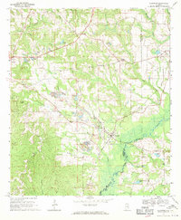
 1971 Luverne1973 Print · USGSLuverne and the surrounding Crenshaw County countryside are captured here in the early seventies, centered on the Patsaliga Creek basin. Researchers can trace local lineage at Faith Hill Ch, Antioch Cem, and the rural Ivy Creek Sch.
 - 1971 Map of Fullers Crossroads, 1973 Print
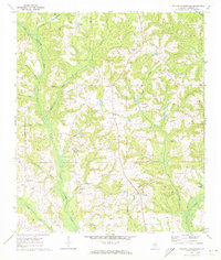 1971 Fullers Crossroads1973 Print · USGSCrenshaw County is documented here in the early seventies, showing a landscape of rural crossroads and creekside settlements. Genealogists can locate family landmarks like Mitchell Cem, Rock Hill Ch, and the community at Fullers Crossroads.
 - 1986 Map of Greenville
 1986 Greenville1986 Print · USGSMid-century South Central Alabama comes alive in this survey of the creek-laced timberlands and rail-dependent towns between the Gulf Coastal Plain and the Piedmont. Researchers can trace family roots through numerous country landmarks like Magnolia Cem, Spring Hill Ch, and the Butler County State Wildlife Management Area.2 unique versions available
 - 2011 Map of Fullers Crossroads, 2011 Print
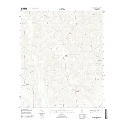
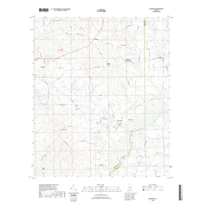
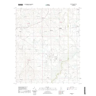
 2011 Fullers Crossroads2011 Print · USGSCovers Luverne, including Centenary, Fullers Crossroads, and other nearby areas
 - 2011 Map of Luverne, 2011 Print
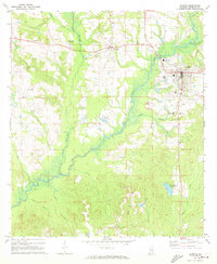
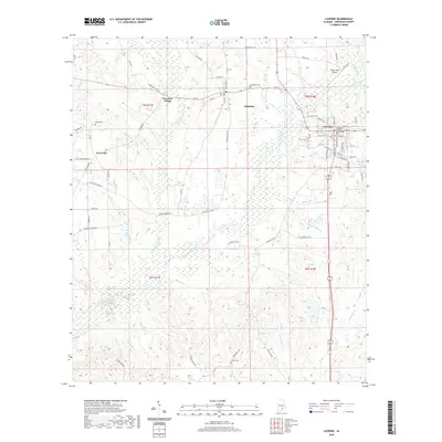
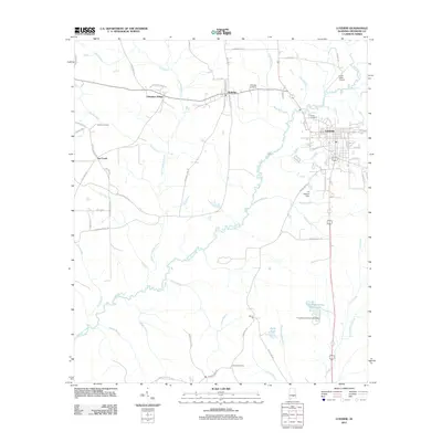 2011 Luverne2011 Print · USGSCovers Luverne, including Rutledge, Cherokee Village, and other nearby areas
 - 2011 Map of Glenwood, 2011 Print
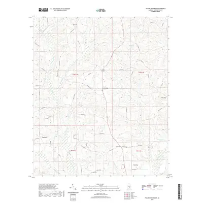
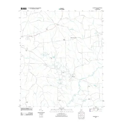 2011 Glenwood2011 Print · USGSCovers Luverne, including Goshen, Glenwood, and other nearby areas
 - 2014 Map of Fullers Crossroads, 2014 Print
 2014 Fullers Crossroads2014 Print · USGSCovers Luverne, including Centenary, Fullers Crossroads, and other nearby areas
 - 2014 Map of Luverne, 2014 Print
 2014 Luverne2014 Print · USGSCovers Luverne, including Rutledge, Cherokee Village, and other nearby areas
 - 2014 Map of Glenwood, 2014 Print
 2014 Glenwood2014 Print · USGSCovers Luverne, including Goshen, Glenwood, and other nearby areas
 - 2018 Map of Fullers Crossroads, 2018 Print
 2018 Fullers Crossroads2018 Print · USGSCovers Luverne, including Centenary, Fullers Crossroads, and other nearby areas
 - 2018 Map of Glenwood, 2018 Print
 2018 Glenwood2018 Print · USGSCovers Luverne, including Goshen, Glenwood, and other nearby areas
 - 2018 Map of Luverne, 2018 Print
 2018 Luverne2018 Print · USGSCovers Luverne, including Rutledge, Cherokee Village, and other nearby areas
 - 2020 Map of Luverne, 2020 Print
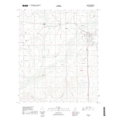
 2020 Luverne2020 Print · USGSCovers Luverne, including Rutledge, Cherokee Village, and other nearby areas
 - 2020 Map of Fullers Crossroads, 2020 Print
 2020 Fullers Crossroads2020 Print · USGSCovers Luverne, including Centenary, Fullers Crossroads, and other nearby areas
 - 2020 Map of Glenwood, 2020 Print
 2020 Glenwood2020 Print · USGSCovers Luverne, including Goshen, Glenwood, and other nearby areas
 - 2024 Map of Fullers Crossroads, 2024 Print
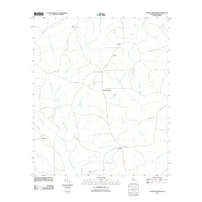
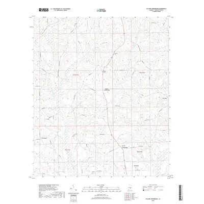
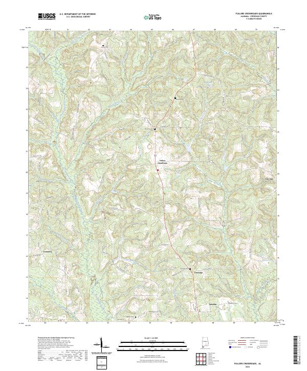 2024 Fullers Crossroads2024 Print · USGSCrenshaw County, Alabama, is documented here in a modern era that preserves its traditional rural settlement patterns and historic family burial grounds. Researchers can trace the drainages of Patsaliga Creek and locate family landmarks such as Thompson Cem and Vernledge.
 - 2024 Map of Luverne, 2024 Print
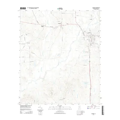
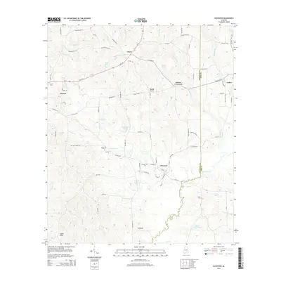
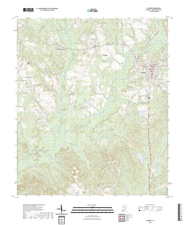 2024 Luverne2024 Print · USGSCrenshaw County's seat and surrounding rural communities are captured here in the contemporary era. Genealogists and local historians can locate Crenshaw County Courthouse, trace family names at Siloam Cem, and explore the banks of Patsaliga Creek.
 - 2024 Map of Glenwood, 2024 Print
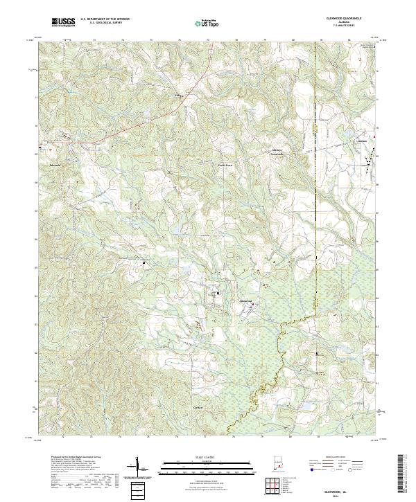 2024 Glenwood2024 Print · USGSCrenshaw and Pike counties are captured here in a detailed survey of their rural townships and creek-side settlements. Local history researchers can trace family names and landmarks at Shirleys Crossroads, Emmaus Cem, and Social Town.
End of results
Showing maps 1-21 of 21
Top cities near Luverne
- Brantley historical maps
- Rutledge historical maps
- Dozier historical maps
- Goshen historical maps
- Glenwood historical maps
- Petrey historical maps
Frequently asked questions
- What are the different types of historical maps available for Luverne?
- What is the oldest map of Luverne?
- Where can I purchase historical maps of Luverne for my home or office?
- Where can I download high-res historical maps of Luverne?
- Are there historical topographic maps available for Luverne?
- Is there historical aerial imagery available for Luverne?
- Where are historical maps of Luverne sourced from?