2000s (21st Century) Maps of Luverne, Alabama
Explore 15 historic maps of Luverne from the 2000s (21st Century). These maps offer a rare glimpse into what life looked like during the 2000s — showing old roads, neighborhoods, homes, and landmarks that have changed or disappeared over time.
Whether you're researching your family's past, planning a metal detecting trip, or studying how Luverne's landscape evolved across the 2000s, these high-resolution maps are a powerful tool for exploring the history of this region.
- Focus on a specific era: All maps on this page are from the 2000s, giving you a focused view of this time period.
- See what’s changed: Compare century-old streets, trails, and buildings to today's modern landscape using overlays and satellite layers.
- Research with precision: Use these maps for genealogy, historical research, land use analysis, or educational projects.
- View, download, or print: Maps are fully viewable online in high resolution, and can be downloaded or printed for your own records.
Start exploring Luverne's history through authentic maps from the 2000s. This is your window into the past.
Luverne, AL maps
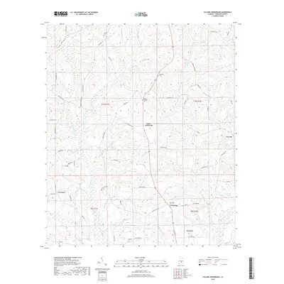
(15)- 2011 Map of Fullers Crossroads, 2011 Print
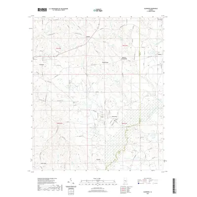
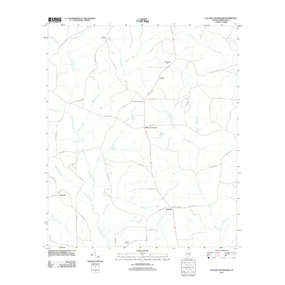 2011 Fullers Crossroads2011 Print · USGSCovers Luverne, including Centenary, Fullers Crossroads, and other nearby areas
 - 2011 Map of Luverne, 2011 Print
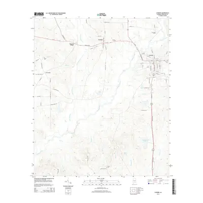
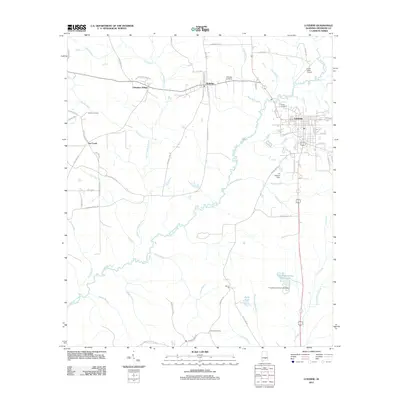 2011 Luverne2011 Print · USGSCovers Luverne, including Rutledge, Cherokee Village, and other nearby areas
 - 2011 Map of Glenwood, 2011 Print
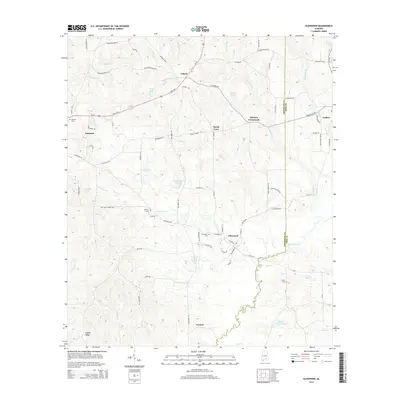
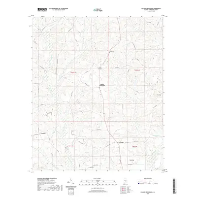
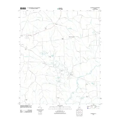 2011 Glenwood2011 Print · USGSCovers Luverne, including Goshen, Glenwood, and other nearby areas
 - 2014 Map of Fullers Crossroads, 2014 Print
 2014 Fullers Crossroads2014 Print · USGSCovers Luverne, including Centenary, Fullers Crossroads, and other nearby areas
 - 2014 Map of Luverne, 2014 Print
 2014 Luverne2014 Print · USGSCovers Luverne, including Rutledge, Cherokee Village, and other nearby areas
 - 2014 Map of Glenwood, 2014 Print
 2014 Glenwood2014 Print · USGSCovers Luverne, including Goshen, Glenwood, and other nearby areas
 - 2018 Map of Fullers Crossroads, 2018 Print
 2018 Fullers Crossroads2018 Print · USGSCovers Luverne, including Centenary, Fullers Crossroads, and other nearby areas
 - 2018 Map of Glenwood, 2018 Print
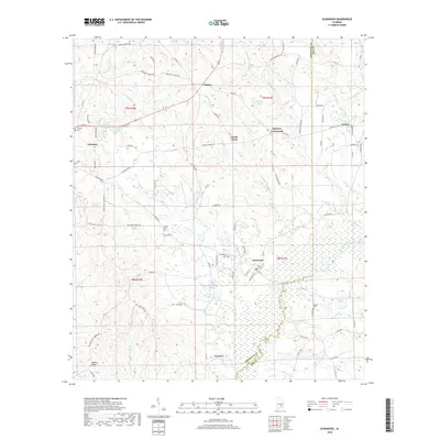 2018 Glenwood2018 Print · USGSCovers Luverne, including Goshen, Glenwood, and other nearby areas
 - 2018 Map of Luverne, 2018 Print
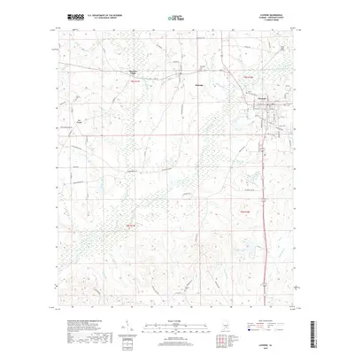 2018 Luverne2018 Print · USGSCovers Luverne, including Rutledge, Cherokee Village, and other nearby areas
 - 2020 Map of Luverne, 2020 Print
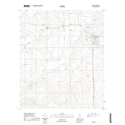 2020 Luverne2020 Print · USGSCovers Luverne, including Rutledge, Cherokee Village, and other nearby areas
 - 2020 Map of Fullers Crossroads, 2020 Print
 2020 Fullers Crossroads2020 Print · USGSCovers Luverne, including Centenary, Fullers Crossroads, and other nearby areas
 - 2020 Map of Glenwood, 2020 Print
 2020 Glenwood2020 Print · USGSCovers Luverne, including Goshen, Glenwood, and other nearby areas
 - 2024 Map of Fullers Crossroads, 2024 Print
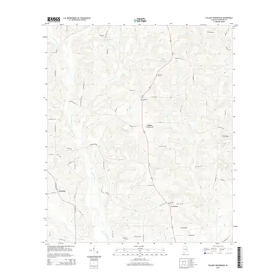
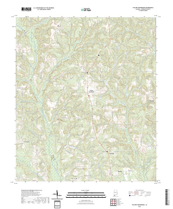 2024 Fullers Crossroads2024 Print · USGSCrenshaw County, Alabama, is documented here in a modern era that preserves its traditional rural settlement patterns and historic family burial grounds. Researchers can trace the drainages of Patsaliga Creek and locate family landmarks such as Thompson Cem and Vernledge.
 - 2024 Map of Luverne, 2024 Print
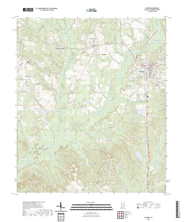 2024 Luverne2024 Print · USGSCrenshaw County's seat and surrounding rural communities are captured here in the contemporary era. Genealogists and local historians can locate Crenshaw County Courthouse, trace family names at Siloam Cem, and explore the banks of Patsaliga Creek.
 - 2024 Map of Glenwood, 2024 Print
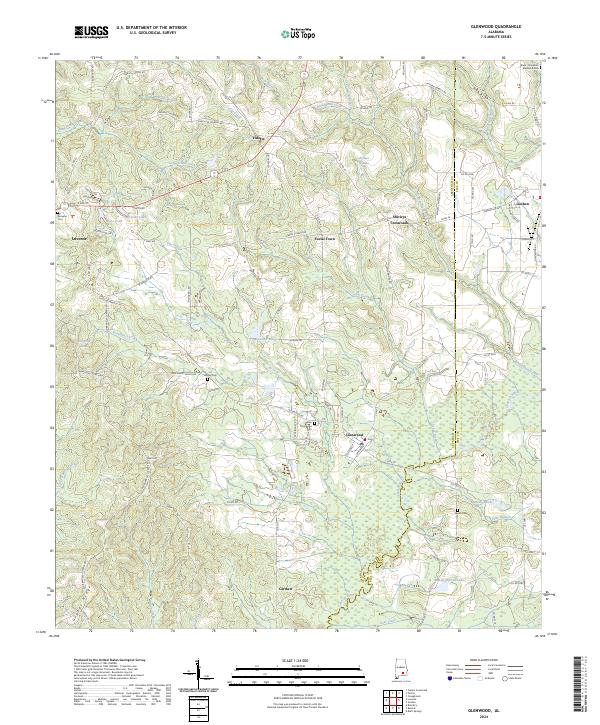 2024 Glenwood2024 Print · USGSCrenshaw and Pike counties are captured here in a detailed survey of their rural townships and creek-side settlements. Local history researchers can trace family names and landmarks at Shirleys Crossroads, Emmaus Cem, and Social Town.
End of results
Showing maps 1-15 of 15
Top cities near Luverne
- Brantley historical maps
- Rutledge historical maps
- Dozier historical maps
- Goshen historical maps
- Glenwood historical maps
- Petrey historical maps
Frequently asked questions
- What are the different types of historical maps available for Luverne?
- What is the oldest map of Luverne?
- Where can I purchase historical maps of Luverne for my home or office?
- Where can I download high-res historical maps of Luverne?
- Are there historical topographic maps available for Luverne?
- Is there historical aerial imagery available for Luverne?
- Where are historical maps of Luverne sourced from?