Old Maps of Central, Alabama for Genealogy
Trace your family roots with 13 historic maps of Central. These high-res maps reveal old neighborhoods, homesites, landmarks, and streets — helping you uncover where your ancestors lived and how the area evolved over time.
- Explore historic neighborhoods: Identify where your relatives may have lived in the 1800s or 1900s.
- Compare maps over time: Trace the changes in streets, buildings, and landmarks for multi-generational research.
- Perfect for genealogy & ancestry research: Used by family historians and researchers to map out lineage and migration.
These maps are an incredible resource for exploring your personal connection to Central's past.
Central, AL maps
(13)- 1956 Map of Gadsden, 1966 Print
 1956 Gadsden1966 Print · USGSNorth Alabama in the mid-1950s shows a region transformed by river engineering and federal industry. Genealogists and local historians can trace the development of the Tennessee Valley through the growth of Huntsville, the sprawling Redstone Arsenal, and the expansive Guntersville Lake.3 unique versions available
 - 1958 Map of Gadsden
 1958 Gadsden1958 Print · USGSNorth Alabama comes alive in the late 1950s as the Tennessee Valley Authority’s massive river projects and the rise of the space industry reshaped the landscape. Researchers can trace the mid-century footprints of Huntsville, Redstone Arsenal, and the riverside rail networks of the Southern railroad.
 - 1960 Map of Gadsden
 1960 Gadsden1960 Print · USGSNorthern Alabama in the mid-1950s is defined by the mighty Tennessee River and its massive reservoirs. Trace the development of Huntsville and Redstone Arsenal or explore the vast William B Bankhead National Forest.2 unique versions available
 - 1963 Map of Gadsden
 1963 Gadsden1963 Print · USGSNorthern Alabama underwent a dramatic mid-century transformation as the Tennessee Valley became a hub for defense and industry. Researchers can trace the development of the Redstone Arsenal, the route of the Natchez Trace Parkway, and long-standing rail lines like the Southern Railway.
 - 1969 Map of Jones Chapel, 1973 Print
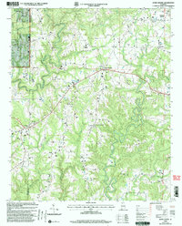
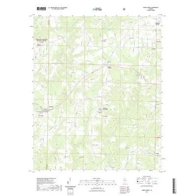
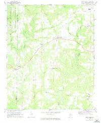 1969 Jones Chapel1973 Print · USGSCullman County in the late sixties reveals a landscape of winding creek valleys and tightly knit rural communities. Genealogists and local historians can locate numerous family landmarks and country churches like Sardis Ch, Mt Pleasant Ch, and the school at Logan.2 unique versions available
 - 1980 Map of Haleyville, 1983 Print
 1980 Haleyville1983 Print · USGSNorthwest Alabama at the start of the eighties shows a landscape of deep forests and new reservoirs as modern infrastructure settled into the hills. Researchers can trace the rail lines of the Southern and Illinois Central Gulf through towns like Haleyville, Moulton, and Natural Bridge.
 - 2000 Map of Jones Chapel, 2003 Print
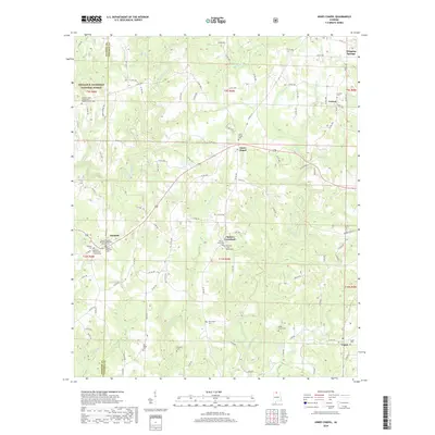
 2000 Jones Chapel2003 Print · USGSThe Cullman County countryside at the turn of the millennium is revealed through its network of ridge-top settlements and creek valleys. Genealogists can locate family landmarks like Sardis Cemetery, New Hope Church, and the community of Jones Chapel.
 - 2011 Map of Jones Chapel, 2011 Print
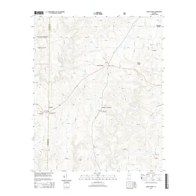
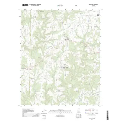
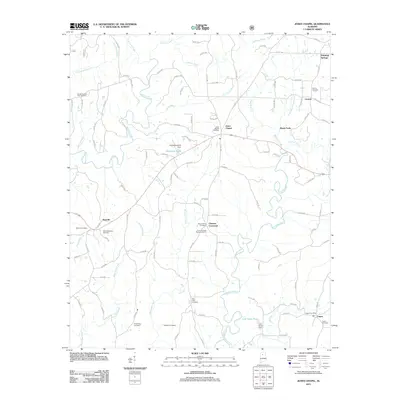 2011 Jones Chapel2011 Print · USGSCovers Central, including Jones Chapel, Nesmith, and other nearby areas
 - 2014 Map of Jones Chapel, 2014 Print
 2014 Jones Chapel2014 Print · USGSCovers Central, including Jones Chapel, Nesmith, and other nearby areas
 - 2018 Map of Jones Chapel, 2018 Print
 2018 Jones Chapel2018 Print · USGSCovers Central, including Jones Chapel, Nesmith, and other nearby areas
 - 2021 Map of Jones Chapel, 2021 Print
 2021 Jones Chapel2021 Print · USGSCovers Central, including Jones Chapel, Nesmith, and other nearby areas
 - 2024 Map of Jones Chapel, 2024 Print
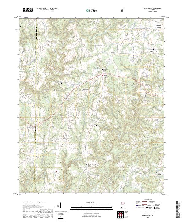 2024 Jones Chapel2024 Print · USGSThe Cullman County countryside at the edge of the national forest remains a landscape of quiet crossroads and historic family burial grounds. Researchers can trace local lineages through Logan Community Cem, the Nesmith Methodist Cem, and the waters of Sullivan Creek.
 - 2026 Map of Jones Chapel, 2026 Print
 2026 Jones Chapel2026 Print · USGSCovers Central, including Jones Chapel, Nesmith, and other nearby areas
End of results
Showing maps 1-13 of 13
Top cities near Central
- Cullman historical maps
- Hartselle historical maps
- Hanceville historical maps
- Good Hope historical maps
- Falkville historical maps
- Somerville historical maps
See more
Frequently asked questions
- What are the different types of historical maps available for Central?
- What is the oldest map of Central?
- Where can I purchase historical maps of Central for my home or office?
- Where can I download high-res historical maps of Central?
- Are there historical topographic maps available for Central?
- Is there historical aerial imagery available for Central?
- Where are historical maps of Central sourced from?