Old Maps of Colony, Alabama for Metal Detecting
Plan your next treasure hunt with 22 historic maps of Colony. Find old homesites, ghost towns, trails, and gathering spots that may be lost to time — perfect for identifying promising metal detecting locations.
- Locate forgotten sites: Uncover places like long-lost settlements, abandoned rail lines, or gathering spots.
- Plan better hunts: Use map overlays combined with LiDAR or satellite views to narrow in on historically rich areas.
- Made for detectorists: Thousands of hobbyists use these maps to discover relics, coins, and hidden history.
Use these historic maps to boost your research and find new opportunities beneath the surface of Colony.
Colony, AL maps
(22)- 1889 Map of Birmingham
 1889 Birmingham1889 Print · USGSIn the late nineteenth century, the Iron City was a growing urban core surrounded by intensive extraction sites and river crossings. Trace early industrial footprints at the Pratt Mines, Sloss Quarry, and the Old Irondale Furnace.
 - 1892 Map of Birmingham
 1892 Birmingham1892 Print · USGSBirmingham and the surrounding iron district emerge in the late nineteenth century as a hub of heavy industry and rail expansion. Trace the early footprints of the Sloss Mine, locate river crossings like Doss Ferry, and find family-named landmarks like Hanby Mill.
 - 1895 Map of Birmingham
 1895 Birmingham1895 Print · USGSBirmingham at the peak of its industrial boom is captured here as the city’s rail and mining networks spread through the surrounding valleys. Researchers can trace early iron production at Old Irondale Furnace or locate family roots at Doss Ferry and Pratt Mines.2 unique versions available
 - 1907 Map of Birmingham
 1907 Birmingham1907 Print · USGSJefferson and Blount counties are shown in the early twentieth century as the industrial heart of Alabama was taking shape. Genealogists can trace family roots through named landmarks like Box Schoolhouse, Watson PO, and the coal works at Watts Mines.5 unique versions available
 - 1951 Map of Arkadelphia, 1952 Print
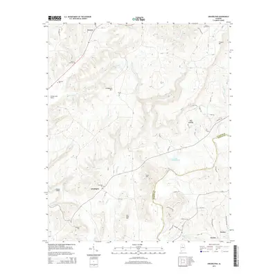
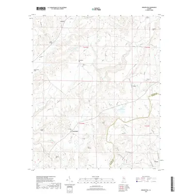
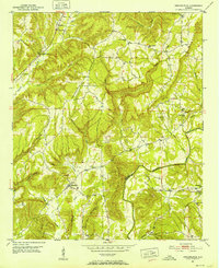 1951 Arkadelphia1952 Print · USGSCullman County in the early fifties shows a landscape of ridge-top settlements and winding river valleys. Genealogists can locate rural landmarks like The Colony, McDonald Cem, and the Colony School nestled between Arkadelphia Mountain and the Mulberry Fork.5 unique versions available
 - 1951 Map of Blount Springs, 1952 Print
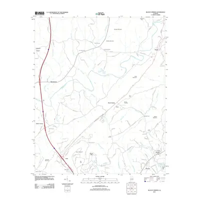
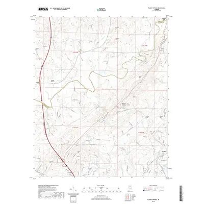
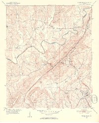 1951 Blount Springs1952 Print · USGSThe Mulberry Fork and the Louisville and Nashville railroad defined life in these northern Alabama hills during the early fifties. Local historians can trace family locations near Blount Springs, Bangor, and Providence Ch, or locate the Blount Tunnel and Hayden High Sch.5 unique versions available
 - 1953 Map of Birmingham, 1964 Print
 1953 Birmingham1964 Print · USGSCentral Alabama at mid-century shows a landscape defined by industrial expansion and the iron-rich ridges surrounding Birmingham. Researchers can trace the extensive rail networks of the L & N RR or locate historic federal sites like the Anniston Ordnance Depot.4 unique versions available
 - 1956 Map of Birmingham
 1956 Birmingham1956 Print · USGSCentral Alabama in the mid-fifties exhibits a landscape of growing cities and deep-rooted industrial corridors. Genealogists and historians can trace the development of suburban Mountain Brook or locate regional hubs like Sylacauga and Jasper.
 - 1957 Map of Birmingham
 1957 Birmingham1957 Print · USGSNorth-Central Alabama in the mid-fifties is an industrial powerhouse centered on the steel valleys and sprawling iron ridges. Genealogists and historians can trace the rail-linked growth of Birmingham and Tuscaloosa, or locate rural landmarks like Talladega College and the Anniston Ordnance Depot.
 - 1975 Map of Blount Springs, 1977 Print
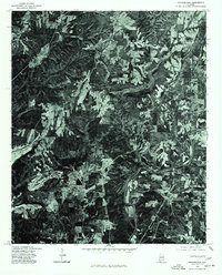
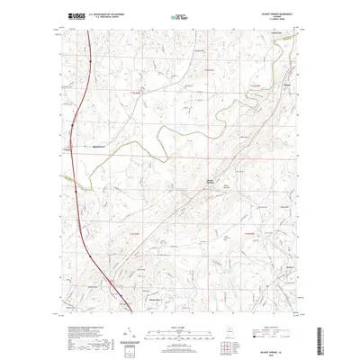
 1975 Blount Springs1977 Print · USGSBlount County land use and river geography are captured in detail during the mid-seventies. Researchers can trace the windings of the Mulberry Fork and locate building footprints in the vicinity of Blount Springs and Hayden.
 - 1975 Map of Arkadelphia, 1977 Print
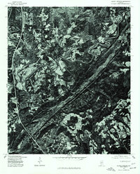
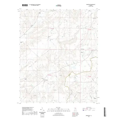
 1975 Arkadelphia1977 Print · USGSSouthern Cullman County is captured in photographic detail during the mid-seventies, showing the rural landscape just before modern expansion. Genealogists and land researchers can trace property lines and forest clearings around Arkadelphia, Bremen, and the winding Mulberry Fork.
 - 1984 Map of Birmingham North, 1985 Print
 1984 Birmingham North1985 Print · USGSNorth Alabama in the mid-eighties shows the bustling intersection of the Appalachian foothills and the Deep South's industrial heart. Genealogists and historians can trace the paths of the Southern Railway and Seaboard System Railroad through towns like Oneonta, Leeds, and Springville.2 unique versions available
 - 2011 Map of Blount Springs, 2011 Print
 2011 Blount Springs2011 Print · USGSCovers Colony, including Hayden, Garden City, and other nearby areas
 - 2011 Map of Arkadelphia, 2011 Print
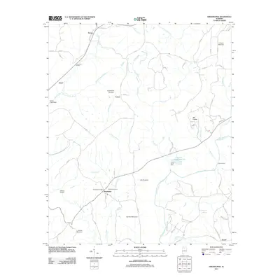 2011 Arkadelphia2011 Print · USGSCovers Colony, including Hayden, Arkadelphia, and other nearby areas
 - 2014 Map of Blount Springs, 2014 Print
 2014 Blount Springs2014 Print · USGSCovers Colony, including Hayden, Garden City, and other nearby areas
 - 2014 Map of Arkadelphia, 2014 Print
 2014 Arkadelphia2014 Print · USGSCovers Colony, including Hayden, Arkadelphia, and other nearby areas
 - 2018 Map of Arkadelphia, 2018 Print
 2018 Arkadelphia2018 Print · USGSCovers Colony, including Hayden, Arkadelphia, and other nearby areas
 - 2018 Map of Blount Springs, 2018 Print
 2018 Blount Springs2018 Print · USGSCovers Colony, including Hayden, Garden City, and other nearby areas
 - 2020 Map of Blount Springs, 2020 Print
 2020 Blount Springs2020 Print · USGSCovers Colony, including Hayden, Garden City, and other nearby areas
 - 2020 Map of Arkadelphia, 2020 Print
 2020 Arkadelphia2020 Print · USGSCovers Colony, including Hayden, Arkadelphia, and other nearby areas
 - 2024 Map of Blount Springs, 2024 Print
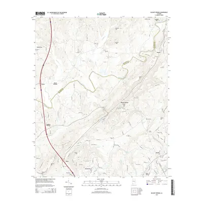
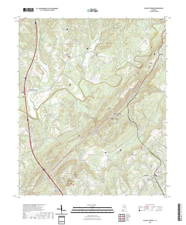 2024 Blount Springs2024 Print · USGSThe Blount and Cullman county line follows the winding Mulberry Fork in this modern survey of the Alabama hill country. Researchers can trace numerous family legacies through well-marked sites like the Thomas D Murphree Cem, Duffee Family Cem, and Reid's Gap Cem.
 - 2024 Map of Arkadelphia, 2024 Print
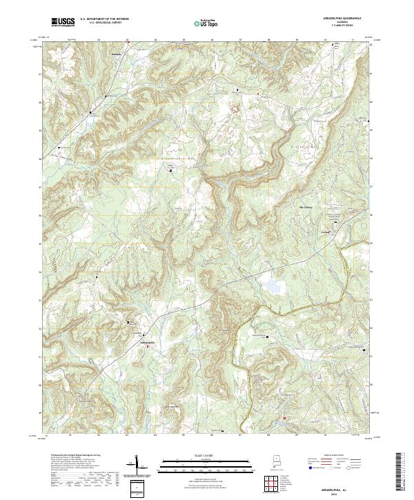 2024 Arkadelphia2024 Print · USGSThe rural borderlands of Cullman and Blount Counties come into focus in this contemporary survey of a landscape shaped by the Mulberry Fork. Genealogists can trace family roots through numerous burial grounds like Arkadelphia Cem and the Shelton Grove Cem.
End of results
Showing maps 1-22 of 22
Top cities near Colony
- Cullman historical maps
- Gardendale historical maps
- Pinson historical maps
- Kimberly historical maps
- Warrior historical maps
- Hanceville historical maps
See more
Frequently asked questions
- What are the different types of historical maps available for Colony?
- What is the oldest map of Colony?
- Where can I purchase historical maps of Colony for my home or office?
- Where can I download high-res historical maps of Colony?
- Are there historical topographic maps available for Colony?
- Is there historical aerial imagery available for Colony?
- Where are historical maps of Colony sourced from?