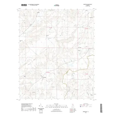
2020 Map of Arkadelphia
USGS Topo · Published 2020About this map
The Mulberry Fork winds through this section of the Alabama hills, marking a significant geographic boundary between Gullman Co and Blount Co. The settlement of Arkadelphia serves as a central point, surrounded by family-named heights and hollows including Burt Reid Mtn, Cannon Mtn, and Wildcat Hollow. This modern survey reveals a landscape defined by its ridge-and-valley topography, where small communities like The Colony and Bremen are connected by a network of county roads that follow the natural contours of the land.
Find a feature on this map
73 named features on this map. Tap any name to fly to it.
Don’t see what you’re looking for? This feature index may not catch every label — zoom into the map to look around manually.
Map Details
Editions of this 2020 Arkadelphia Map
This is the sole edition of this map. No revisions or reprints were ever made.
Other maps of this area

1888 · Cullman
USGS Topo · 1:125,000

1889 · Birmingham
USGS Topo · 1:125,000

1892 · Cullman
USGS Topo · 1:125,000

1892 · Birmingham
USGS Topo · 1:125,000

1893 · Jasper
USGS Topo · 1:125,000

1895 · Birmingham
USGS Topo · 1:125,000

1907 · Birmingham
USGS Topo · 1:125,000

1949 · Sipsey
USGS Topo · 1:24,000

1949 · Cold Springs
USGS Topo · 1:24,000

1951 · Cold Springs
USGS Topo · 1:24,000