
1949 Map of Cold Springs
USGS Topo · Published 1969About this map
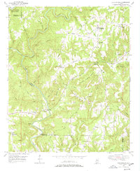
Cold Springs serves as a focal point for this rural landscape in southwestern Cullman County, where the settlement and the Cold Springs post office are established on the ridge above Ryan Creek. The topography is defined by the deep, winding valleys of the East Fork Sipsey River and the Sipsey Fork, which converge near the southern boundary. This 1949 field-checked survey reveals a strong communal network of country churches, including Addington Chapel, Sandlin Chapel, and Williams Chapel, alongside small rural schools like Drummond Sch.
Find a feature on this map
58 named features on this map. Tap any name to fly to it.
Don’t see what you’re looking for? This feature index may not catch every label — zoom into the map to look around manually.
Map Details
Editions of this 1949 Cold Springs Map
5 editions found
Other maps of this area

1888 · Cullman
USGS Topo · 1:125,000

1889 · Birmingham
USGS Topo · 1:125,000

1892 · Cullman
USGS Topo · 1:125,000

1892 · Birmingham
USGS Topo · 1:125,000

1893 · Jasper
USGS Topo · 1:125,000

1895 · Birmingham
USGS Topo · 1:125,000

1907 · Birmingham
USGS Topo · 1:125,000

1949 · Cordova
USGS Topo · 1:24,000

1949 · Sipsey
USGS Topo · 1:24,000

1949 · Sunlight
USGS Topo · 1:24,000