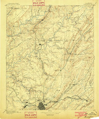
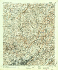
1907 Map of Birmingham
USGS Topo · Published 1907About this map
The industrial rise of Birmingham is recorded here during its rapid early 20th-century expansion, showing the intricate relationship between the region's topography and its booming coal and iron economy. The cityscape is defined by heavy rail infrastructure, including the Southern Railway and Birmingham Mineral Railroad, which connect the urban core to outlying industrial hubs like Warrior and Watts Mines. Beyond the city limits, the landscape transitions into a network of small mining settlements and river landings. Along the Locust Fork Warrior River and Mulberry Fork Warrior River, the map identifies numerous historical crossings such as Sapp Ford and Baltimore Ford. Genealogists will find local landmarks including Box Schoolhouse, Guthrie Mill, and rural congregations like Williams Chapel Mt Olive Church, providing a detailed look at the social fabric of Jefferson and Blount counties before later urbanization.
Find a feature on this map
160 named features on this map. Tap any name to fly to it.
Don’t see what you’re looking for? This feature index may not catch every label — zoom into the map to look around manually.
Map Details
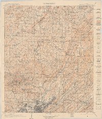
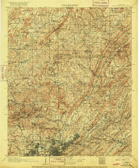
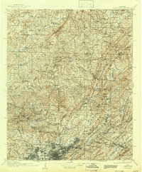
Editions of this 1907 Birmingham Map
5 editions found
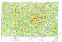
Historical Maps of Birmingham Through Time
7 maps found