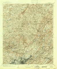
1907 Map of Birmingham
USGS Topo · Published 1943About this map
Birmingham serves as the industrial anchor of this early 20th-century landscape, where a dense network of iron and coal interests radiates through the ridges of Red Mountain and Shades Mountain. The survey reveals a region defined by its geology, with the Louisville and Nashville RR and Southern Ry threading through topographic gaps like Boyles Gap and Red Gap to connect mining outposts. While the city core is burgeoning at Woodlawn and Avondale, the surrounding countryside remains dotted with family-scale landmarks and community centers such as Dean Church, Hanby Mill, and the Box Schoolhouse. The presence of Watts Mines near Warrior and Seloca highlights the extraction economy that fueled the area's growth. Along the Mulberry Fork and Locust Fork, small settlements like Arkadelphia and Blount Springs maintain their rural character against the backdrop of the rising steel district.
Find a feature on this map
97 named features on this map. Tap any name to fly to it.
Don’t see what you’re looking for? This feature index may not catch every label — zoom into the map to look around manually.
Map Details
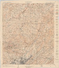
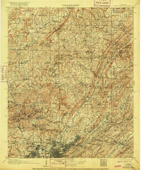
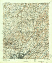
Editions of this 1907 Birmingham Map
5 editions found

Other maps of this area

1885 · Gadsden
USGS Topo · 1:125,000

1888 · Cullman
USGS Topo · 1:125,000

1888 · Gadsden
USGS Topo · 1:125,000

1889 · Springville
USGS Topo · 1:125,000

1889 · Birmingham
USGS Topo · 1:125,000

1890 · Bessemer
USGS Topo · 1:125,000

1890 · Talladega
USGS Topo · 1:125,000

1892 · Cullman
USGS Topo · 1:125,000

1892 · Birmingham
USGS Topo · 1:125,000

1892 · Springville
USGS Topo · 1:125,000