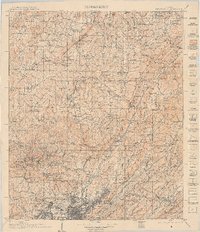
1907 Map of Birmingham
USGS Topo · Published 1909About this map
Watts Mines and the growing industrial footprint of the Louisville and Nashville RR define the landscape north of the burgeoning city center during this first decade of the twentieth century. The map illustrates a complex network of mining communities and early transit corridors, where the Locust Fork and Mulberry Fork of the Black Warrior River weave through ridges like Sand Mountain and Blount Mountain. Rural life is meticulously documented through family-named infrastructure such as Guthrie Mill, Hanby Mill, and Tidwell Mill, alongside community hubs like the Box Schoolhouse and Grahams Chapel. The density of settlements like Brookside, Blossburg, and Warrior reflects the rapid development of the coal and iron industry, while places like Blount Springs hint at the area's older reputation for mineral waters. This survey documents the intersection of heavy industry and the established agrarian society before modern highways transformed the region.
Find a feature on this map
176 named features on this map. Tap any name to fly to it.
Don’t see what you’re looking for? This feature index may not catch every label — zoom into the map to look around manually.
Map Details
Editions of this 1907 Birmingham Map
5 editions found

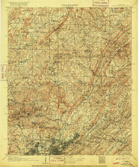
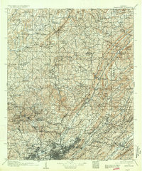
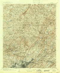
Other maps of this area

1885 · Gadsden
USGS Topo · 1:125,000

1888 · Cullman
USGS Topo · 1:125,000

1888 · Gadsden
USGS Topo · 1:125,000

1889 · Springville
USGS Topo · 1:125,000

1889 · Birmingham
USGS Topo · 1:125,000

1890 · Bessemer
USGS Topo · 1:125,000

1890 · Talladega
USGS Topo · 1:125,000

1892 · Cullman
USGS Topo · 1:125,000

1892 · Birmingham
USGS Topo · 1:125,000

1892 · Springville
USGS Topo · 1:125,000