2020s Maps of Fort Payne, Alabama
Explore 12 historic maps of Fort Payne from the 2020s. These maps offer a rare glimpse into what life looked like during the 2020s — showing old roads, neighborhoods, homes, and landmarks that have changed or disappeared over time.
Whether you're researching your family's past, planning a metal detecting trip, or studying how Fort Payne's landscape evolved across the 2020s, these high-resolution maps are a powerful tool for exploring the history of this region.
- Focus on a specific era: All maps on this page are from the 2020s, giving you a focused view of this time period.
- See what’s changed: Compare century-old streets, trails, and buildings to today's modern landscape using overlays and satellite layers.
- Research with precision: Use these maps for genealogy, historical research, land use analysis, or educational projects.
- View, download, or print: Maps are fully viewable online in high resolution, and can be downloaded or printed for your own records.
Start exploring Fort Payne's history through authentic maps from the 2020s. This is your window into the past.
Fort Payne, AL maps
(12)- 2020 Map of Little River, 2020 Print
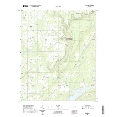 2020 Little River2020 Print · USGSCovers Fort Payne, including Powell, Sigsbee, and other nearby areas
 - 2020 Map of Chavies, 2020 Print
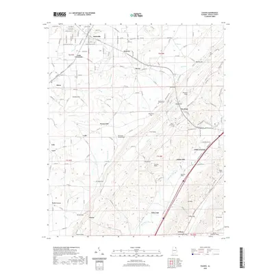 2020 Chavies2020 Print · USGSCovers Fort Payne, including Rainsville, Fyffe, and other nearby areas
 - 2020 Map of Fort Payne, 2020 Print
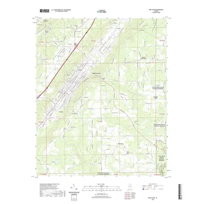 2020 Fort Payne2020 Print · USGSCovers Fort Payne, including Adamsburg, Pumpkin Center, and other nearby areas
 - 2020 Map of Jamestown, 2020 Print
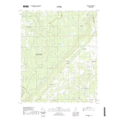 2020 Jamestown2020 Print · USGSCovers Fort Payne, including Grover, Burgess, and other nearby areas
 - 2020 Map of Valley Head, 2020 Print
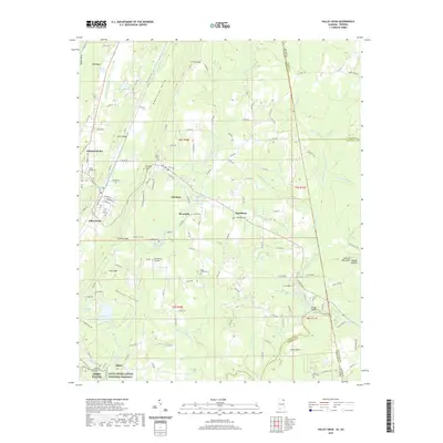 2020 Valley Head2020 Print · USGSCovers Fort Payne, including Valley Head, Hammondville, and other nearby areas
 - 2020 Map of Dugout Valley, 2020 Print
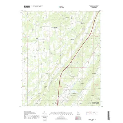 2020 Dugout Valley2020 Print · USGSCovers Fort Payne, including Henagar, Valley Head, and other nearby areas
 - 2024 Map of Chavies, 2024 Print
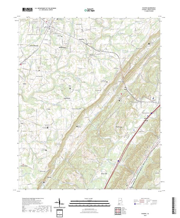 2024 Chavies2024 Print · USGSDeKalb County’s plateau landscape is captured here in the contemporary era, showing the growth of Rainsville and Fort Payne. Researchers can trace family sites at Old Mount Zion Cem or follow the terrain from Shinbone Ridge down to Big Wills Valley.
 - 2024 Map of Little River, 2024 Print
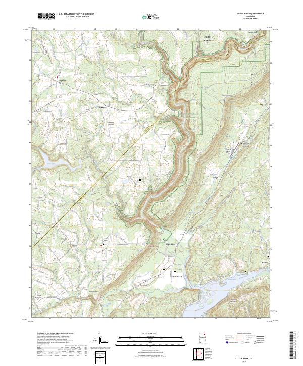 2024 Little River2024 Print · USGSThe deep gorge of the Little River Canyon National Preserve dominates this modern landscape on the DeKalb and Cherokee county line. Researchers can trace rural lineages at Pleasant Hill Methodist Church Cem and Tucker's Chapel Cem.
 - 2024 Map of Jamestown, 2024 Print
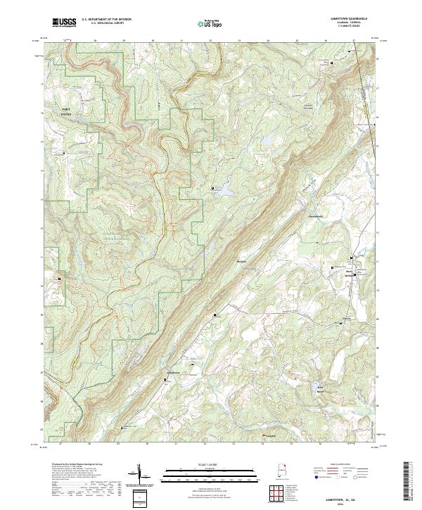 2024 Jamestown2024 Print · USGSThe Alabama and Georgia borderlands near the turn of the twenty-first century reveal a landscape of deep canyons and family homesteads. Genealogists can trace rural roots through the Indian Stockade Cem, Moseley Cem, and historic church sites like Mount Calvary Baptist Church Cem.
 - 2024 Map of Dugout Valley, 2024 Print
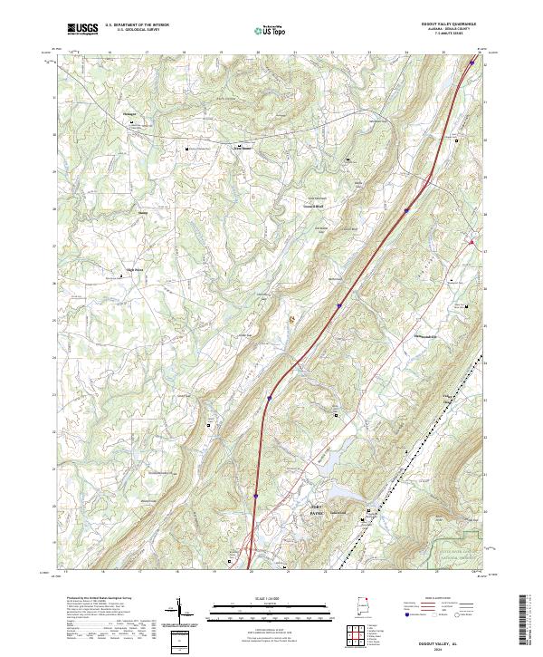 2024 Dugout Valley2024 Print · USGSDeKalb County comes into focus in this recent survey as the agricultural plateau of Sand Mountain meets the deep corridors of Big Wills Valley. Trace family roots at McSpadden Family Cem or New Home Cem and explore the edges of the Little River Canyon National Preserve.
 - 2024 Map of Valley Head, 2024 Print
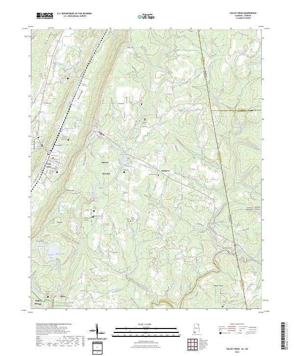 2024 Valley Head2024 Print · USGSDeKalb County, Alabama, and the Georgia state line meet in this modern survey of the Lookout Mountain plateau. Genealogists can locate family landmarks like the Winston Plantation Slave Cem, Jones Cem, and the historic railroad corridor near Mentone.
 - 2024 Map of Fort Payne, 2024 Print
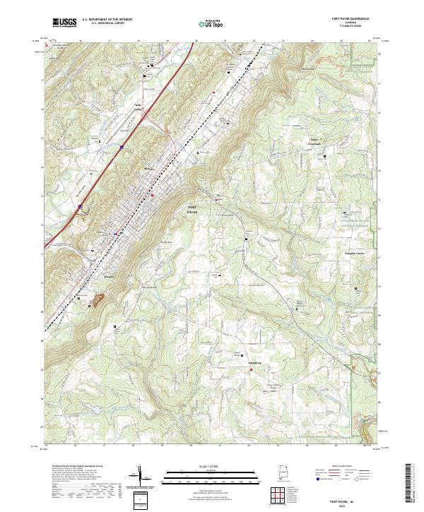 2024 Fort Payne2024 Print · USGSDeKalb County comes to life in this contemporary survey of the Wills Valley region. Genealogists and historians can trace dozens of local landmarks including the DeKalb County Courthouse, the Willstown Mission Cem, and Fisher Crossroads.
End of results
Showing maps 1-12 of 12
Top cities near Fort Payne
- Rainsville historical maps
- Henagar historical maps
- Collinsville historical maps
- Cedar Bluff historical maps
- Sylvania historical maps
- Powell historical maps
See more
Top neighborhoods of Fort Payne
- Lakewood historical maps
- Douglas historical maps
- Fischer Crossroads historical maps
- Minvale historical maps
- Wills Valley historical maps
Frequently asked questions
- What are the different types of historical maps available for Fort Payne?
- What is the oldest map of Fort Payne?
- Where can I purchase historical maps of Fort Payne for my home or office?
- Where can I download high-res historical maps of Fort Payne?
- Are there historical topographic maps available for Fort Payne?
- Is there historical aerial imagery available for Fort Payne?
- Where are historical maps of Fort Payne sourced from?