1900s (20th Century) Maps of Powell, Alabama
Explore 11 historic maps of Powell from the 1900s (20th Century). These maps offer a rare glimpse into what life looked like during the 1900s — showing old roads, neighborhoods, homes, and landmarks that have changed or disappeared over time.
Whether you're researching your family's past, planning a metal detecting trip, or studying how Powell's landscape evolved across the 1900s, these high-resolution maps are a powerful tool for exploring the history of this region.
- Focus on a specific era: All maps on this page are from the 1900s, giving you a focused view of this time period.
- See what’s changed: Compare century-old streets, trails, and buildings to today's modern landscape using overlays and satellite layers.
- Research with precision: Use these maps for genealogy, historical research, land use analysis, or educational projects.
- View, download, or print: Maps are fully viewable online in high resolution, and can be downloaded or printed for your own records.
Start exploring Powell's history through authentic maps from the 1900s. This is your window into the past.
Powell, AL maps
(11)- 1936 Map of Dutton
 1936 Dutton1936 Print · USGSSand Mountain and the Tennessee River valley appear here in the mid-thirties just as the landscape began to change. Trace the old community footprints of Dutton and Macedonia or locate family landmarks like Happy Hill Ch and Patterson Sch.
 - 1936 Map of Sylvania
 1936 Sylvania1936 Print · USGSSand Mountain's rural plateau comes to life in the mid-1930s, showing a landscape of family farms and community centers. Genealogists can trace family footprints at Bowman Crossroads, Mahan Sch, or the Dean Chapel Cem.
 - 1947 Map of Dutton, 1972 Print
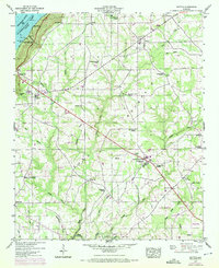 1947 Dutton1972 Print · USGSSand Mountain settlements and the Guntersville Lake shoreline appear in this mid-century survey as the Tennessee Valley transformed. Trace family roots at Chaney Chapel Cem or locate old community hubs like Gossett Gap and Hancock Crossroads.2 unique versions available
 - 1947 Map of Sylvania, 1976 Print
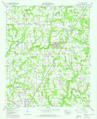 1947 Sylvania1976 Print · USGSDeKalb County’s plateau communities are shown in detail during the mid-twentieth century as Rainsville and Sylvania began to expand along the highway. Researchers can trace family roots through numerous sites like Double Spring Church, Mahan Cem, and the old Wilkes Store.3 unique versions available
 - 1950 Map of Dutton
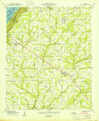 1950 Dutton1950 Print · USGSSand Mountain in the post-war era is a landscape of high-plateau farms and rural crossroads along the Jackson and De Kalb County line. Researchers can trace the heritage of local communities through landmarks like Hancock Crossroads, Old Shady Grove Church, and Tomlin Sch.2 unique versions available
 - 1950 Map of Sylvania
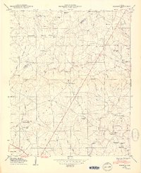 1950 Sylvania1950 Print · USGSDeKalb County and the Sand Mountain plateau are captured here just after the war, showing the area's rural crossroads and family settlements. Genealogists can locate family-named landmarks like Wilkes Store, Mahan Crossroads, and the Mahan Cem.2 unique versions available
 - 1955 Map of Rome
 1955 Rome1955 Print · USGSThe tri-state borderlands of Georgia, Alabama, and Tennessee appear in the mid-fifties as a landscape of ridge-and-valley industry and river navigation. Genealogists can trace family footprints near Chattanooga, the iron works of Gadsden, and textile towns like Trion or Summerville.
 - 1958 Map of Rome, 1966 Print
 1958 Rome1966 Print · USGSNorthwest Georgia and neighboring Tennessee and Alabama are captured here in the late fifties, showcasing a landscape of high ridges and river valleys. Researchers can trace historic rail lines like the Seaboard Air Line RR and explore the bounds of Cloudland Canyon State Park or Fort Oglethorpe.3 unique versions available
 - 1961 Map of Rome
 1961 Rome1961 Print · USGSNorthwest Georgia and neighboring Tennessee and Alabama are shown here at a moment of significant mid-century growth. Researchers can trace the rail networks of the Central of Georgia or locate landmarks within Chickamauga and Chattanooga Nat Military Park.
 - 1963 Map of Rome
 1963 Rome1963 Print · USGSThe tri-state corner of Georgia, Alabama, and Tennessee is captured here during a period of massive reservoir expansion and post-war growth. Genealogists and historians can trace the rail corridors of the Southern Ry or locate landmarks like Fort Oglethorpe and Cloudland Canyon State Park.
 - 1981 Map of Chickamauga, 1982 Print
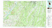 1981 Chickamauga1982 Print · USGSThe tri-state border region of Georgia, Alabama, and Tennessee comes into focus during the early eighties, defined by the towering ridges of the Appalachians. Historians can trace the preserved grounds of Chickamauga and Chattanooga National Military Park and old rail stops like Rising Fawn or Sulphur Springs.2 unique versions available
End of results
Showing maps 1-11 of 11
Top cities near Powell
- Scottsboro historical maps
- Fort Payne historical maps
- Guntersville historical maps
- Rainsville historical maps
- Henagar historical maps
- Sylvania historical maps
See more
Frequently asked questions
- What are the different types of historical maps available for Powell?
- What is the oldest map of Powell?
- Where can I purchase historical maps of Powell for my home or office?
- Where can I download high-res historical maps of Powell?
- Are there historical topographic maps available for Powell?
- Is there historical aerial imagery available for Powell?
- Where are historical maps of Powell sourced from?