2000s (21st Century) Maps of Monte Vista, Gadsden
Explore 6 historic maps of Monte Vista from the 2000s (21st Century). These maps offer a rare glimpse into what life looked like during the 2000s — showing old roads, neighborhoods, homes, and landmarks that have changed or disappeared over time.
Whether you're researching your family's past, planning a metal detecting trip, or studying how Monte Vista's landscape evolved across the 2000s, these high-resolution maps are a powerful tool for exploring the history of this region.
- Focus on a specific era: All maps on this page are from the 2000s, giving you a focused view of this time period.
- See what’s changed: Compare century-old streets, trails, and buildings to today's modern landscape using overlays and satellite layers.
- Research with precision: Use these maps for genealogy, historical research, land use analysis, or educational projects.
- View, download, or print: Maps are fully viewable online in high resolution, and can be downloaded or printed for your own records.
Start exploring Monte Vista's history through authentic maps from the 2000s. This is your window into the past.
Monte Vista, Gadsden maps
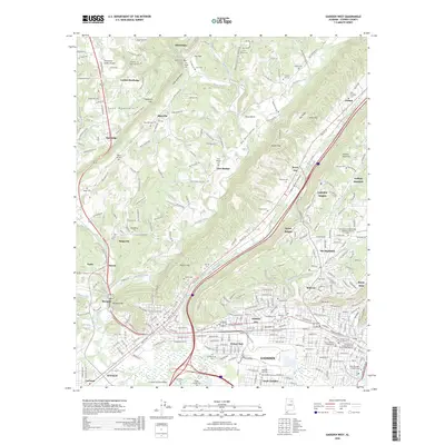
(6)- 2011 Map of Gadsden West, 2011 Print
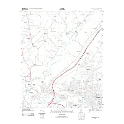 2011 Gadsden West2011 Print · USGSCovers Monte Vista, including Gadsden, Attalla, and other nearby areas
 - 2014 Map of Gadsden West, 2014 Print
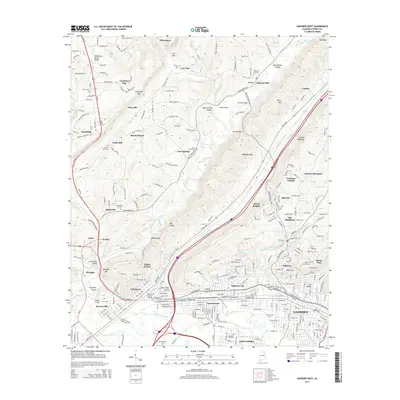 2014 Gadsden West2014 Print · USGSCovers Monte Vista, including Gadsden, Attalla, and other nearby areas
 - 2018 Map of Gadsden West, 2018 Print
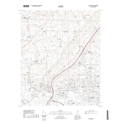 2018 Gadsden West2018 Print · USGSCovers Monte Vista, including Gadsden, Attalla, and other nearby areas
 - 2020 Map of Gadsden West, 2020 Print
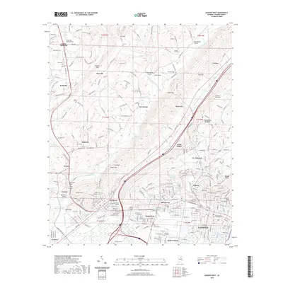 2020 Gadsden West2020 Print · USGSCovers Monte Vista, including Gadsden, Attalla, and other nearby areas
 - 2024 Map of Gadsden West, 2024 Print
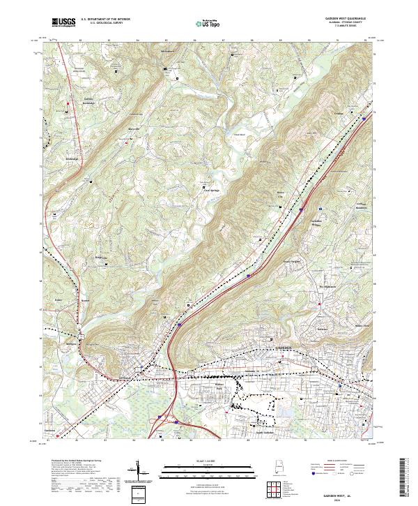 2024 Gadsden West2024 Print · USGSGadsden and Attalla emerge as the industrial and civic anchors of this Etowah County landscape in the early 2020s. Genealogists can trace family heritage through numerous ridge-top burial grounds like Knox Whitt Cem, Old Smallpox Cem, and New Harmony Cem.
 - 2026 Map of Gadsden West, 2026 Print
 2026 Gadsden West2026 Print · USGSCovers Monte Vista, including Gadsden, Attalla, and other nearby areas
End of results
Showing maps 1-6 of 6
Top cities near Monte Vista
- Gadsden historical maps
- Albertville historical maps
- Jacksonville historical maps
- Rainbow City historical maps
- Boaz historical maps
- Southside historical maps
See more
Frequently asked questions
- What are the different types of historical maps available for Monte Vista?
- What is the oldest map of Monte Vista?
- Where can I purchase historical maps of Monte Vista for my home or office?
- Where can I download high-res historical maps of Monte Vista?
- Are there historical topographic maps available for Monte Vista?
- Is there historical aerial imagery available for Monte Vista?
- Where are historical maps of Monte Vista sourced from?