Old Maps of Rainbow City, Alabama
Explore 29 old maps of Rainbow City, spanning from 1889 to today. These high-resolution historic maps reveal how streets, neighborhoods, landmarks, and natural features evolved over time — perfect for genealogy, metal detecting, research, and local history exploration.
What you can do with these maps:
- See how Rainbow City changed over time: Compare historical maps to modern-day views to trace roads, homesites, rail lines & more.
- View detailed metadata: Each map includes creators, publishers, year, scale, and archive source.
- Overlay maps with satellite & LiDAR: Visualize the past alongside modern tools to explore terrain & human change.
- Trusted historical sources: Maps sourced from the USGS, Library of Congress, and other archives.
- Access maps your way: View online, download high-res files, or order prints for personal or research use.
Start exploring old maps of Rainbow City to uncover forgotten places, hidden landmarks, and the deep history beneath your feet.
Rainbow City, AL maps
(29)- 1889 Map of Springville
 1889 Springville1889 Print · USGSSt. Clair County and its neighbors are mapped here during the late Victorian era as railroads began to transform the old plantation and river economy. Genealogists can locate family landmarks like Henry's Mill, trace the path of Jackson's Trace, or find the location of old river crossings at Colman's Ferry.
 - 1892 Map of Springville
 1892 Springville1892 Print · USGSNortheast Alabama at the end of the nineteenth century is a landscape of river crossings and expanding rail lines. Genealogists can trace family footprints at St. Clair Springs, Greensport, and numerous river crossings like Colman's Ferry or Goodwin's Mill.7 unique versions available
 - 1947 Map of Dunaway Mountain, 1953 Print
 1947 Dunaway Mountain1953 Print · USGSThe Etowah County countryside near Gadsden is captured here just after World War II, showing a landscape transitioning from military use to civil expansion. Researchers can trace the grounds of Camp Sibert (Abandoned) or locate local landmarks like Listers Ferry (Abandoned) and Old Harmony Ch.3 unique versions available
 - 1947 Map of Steele, 1953 Print
 1947 Steele1953 Print · USGSNorthern St. Clair County appears here in the immediate post-war years as military installations give way to rural life. Researchers can trace the boundaries of Camp Sibert, find old family church sites like Deerman Chapel, and follow the Southern rail line through Steele.3 unique versions available
 - 1947 Map of Steele, 1953 Print
 1947 Steele1953 Print · USGSMid-century Alabama life centered on the river and rail corridors between Gadsden and Ashville. Genealogists can locate family landmarks like Morgans Crossroad, Old Harmony Ch Cem, and the decommissioned Camp Sibert.2 unique versions available
 - 1949 Map of Ohatchee, 1953 Print
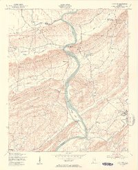 1949 Ohatchee1953 Print · USGSThe Coosa River valley in the late 1940s shows a landscape of steep ridges and tight-knit river settlements along the Calhoun and St. Clair county lines. Local historians can trace the paths of the Seaboard Air Line and find sites like Francis Ferry, Greensport, and Ten Island Ch.5 unique versions available
 - 1953 Map of Birmingham, 1964 Print
 1953 Birmingham1964 Print · USGSCentral Alabama at mid-century shows a landscape defined by industrial expansion and the iron-rich ridges surrounding Birmingham. Researchers can trace the extensive rail networks of the L & N RR or locate historic federal sites like the Anniston Ordnance Depot.4 unique versions available
 - 1956 Map of Birmingham
 1956 Birmingham1956 Print · USGSCentral Alabama in the mid-fifties exhibits a landscape of growing cities and deep-rooted industrial corridors. Genealogists and historians can trace the development of suburban Mountain Brook or locate regional hubs like Sylacauga and Jasper.
 - 1957 Map of Birmingham
 1957 Birmingham1957 Print · USGSNorth-Central Alabama in the mid-fifties is an industrial powerhouse centered on the steel valleys and sprawling iron ridges. Genealogists and historians can trace the rail-linked growth of Birmingham and Tuscaloosa, or locate rural landmarks like Talladega College and the Anniston Ordnance Depot.
 - 1975 Map of Ohatchee, 1977 Print
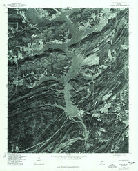 1975 Ohatchee1977 Print · USGSThe Coosa River valley in the mid-1970s reveals a landscape defined by its major reservoirs. Trace the shoreline of H Neely Henry Lake and the settlement of Ohatchee as they appeared just before the close of the decade.
 - 1975 Map of Steele, 1977 Print
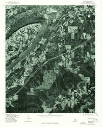 1975 Steele1977 Print · USGSSt. Clair County settlements appear amidst the ridge-and-valley terrain during the mid-seventies. Researchers can examine the exact land use and road patterns surrounding Steele and Gallant as the interstate era reshaped the region.
 - 1975 Map of Dunaway Mountain, 1977 Print
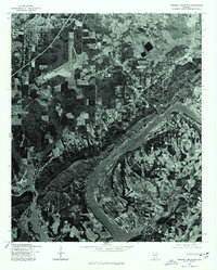 1975 Dunaway Mountain1977 Print · USGSThe Coosa River valley comes into sharp focus during the mid-seventies, showing the transition from agricultural land to growing suburban centers. Local historians can trace the exact 1975 footprint of Rainbow City, the infrastructure of Gadsden, and the shoreline of H Neely Henry Lake.
 - 1984 Map of Birmingham North, 1985 Print
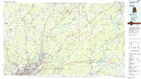 1984 Birmingham North1985 Print · USGSNorth Alabama in the mid-eighties shows the bustling intersection of the Appalachian foothills and the Deep South's industrial heart. Genealogists and historians can trace the paths of the Southern Railway and Seaboard System Railroad through towns like Oneonta, Leeds, and Springville.2 unique versions available
 - 2011 Map of Dunaway Mountain, 2011 Print
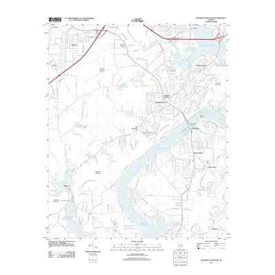 2011 Dunaway Mountain2011 Print · USGSGadsden and the Coosa River valley are seen here in the early twenty-first century as suburban growth meets the ridges of the Appalachians. Family history researchers can locate McCartney Cemetery or trace the development around Morgans Crossroads and Old Harmony.
 - 2011 Map of Steele, 2011 Print
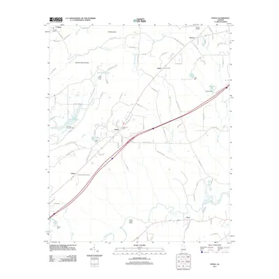 2011 Steele2011 Print · USGSEtowah County at the start of the 2010s reveals a landscape of ridge-and-valley settlements and rural community hubs. Genealogists can trace family footprints through the Shiloh Cemetery, Gallant Cemetery, and landmarks like the Chandler Natural Bridge.
 - 2012 Map of Ohatchee, 2012 Print
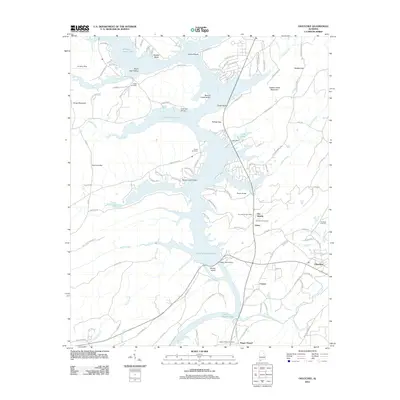 2012 Ohatchee2012 Print · USGSThe Coosa River valley in the early twenty-first century is defined by its massive reservoirs and lakeside communities. Genealogists and historians can trace the foundations of Ten Islands and Greensport, or locate the Ten Islands Post Office and Heald Cemetery.
 - 2014 Map of Steele, 2014 Print
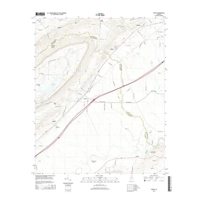 2014 Steele2014 Print · USGSSteele and the surrounding Etowah and St. Clair County landscapes are shown here in the early twenty-first century. Researchers can locate family landmarks such as Gallant Cem, trace the terrain of Beason Cove, or explore the area around Chandler Natural Bridge.
 - 2014 Map of Ohatchee, 2014 Print
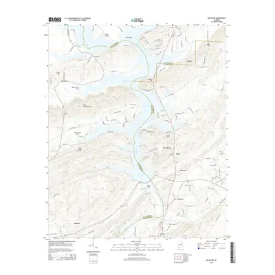 2014 Ohatchee2014 Print · USGSThe Coosa River valley at the tri-county border of Etowah, Calhoun, and St. Clair counties shows a landscape of modern reservoirs and ancient ridges. Genealogists can trace family roots through Ohatchee Cem and Ragan Chapel Cem or locate the site of Cochran Springs.
 - 2014 Map of Dunaway Mountain, 2014 Print
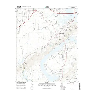 2014 Dunaway Mountain2014 Print · USGSThe riverfront communities south of Gadsden are captured here during a period of modern expansion along the Coosa. Researchers can trace local landmarks like Morgans Crossroads, Pilgrims Rest, and the historic Pilgrims Rest Cem.
 - 2018 Map of Steele, 2018 Print
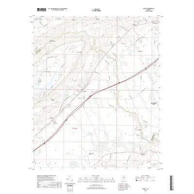 2018 Steele2018 Print · USGSThe Steele and Gilbert areas of Alabama are shown here during a time of steady rural development between the mountains and the Coosa River drainage. Researchers can locate family landmarks such as Deerman Chapel Cem, the Chandler Natural Bridge, and the waters of H Neely Henry Lake.
 - 2018 Map of Ohatchee, 2018 Print
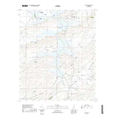 2018 Ohatchee2018 Print · USGSThe Coosa River valley in the late 2010s reveals a landscape of massive reservoirs and ridgelines at the borders of Etowah, St. Clair, and Calhoun counties. Researchers can locate family landmarks like Ten Island Cem, Ragan Chapel, and the rugged peaks of the Beaver Creek Mountains.
 - 2018 Map of Dunaway Mountain, 2018 Print
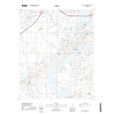 2018 Dunaway Mountain2018 Print · USGSThe Coosa River valley in Etowah County appears here during a period of modern expansion and residential growth. Local historians can trace the development of Rainbow City and Southside or locate the Northeast Alabama Regional Airport and Pilgrims Rest Cem.
 - 2020 Map of Ohatchee, 2020 Print
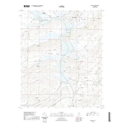 2020 Ohatchee2020 Print · USGSThe Coosa River valley and the tri-county borders of Alabama are detailed here in the contemporary era. Researchers can trace family history through numerous landmarks like Ten Island Cem, Heald Cem, and the historic area of Greensport.
 - 2020 Map of Steele, 2020 Print
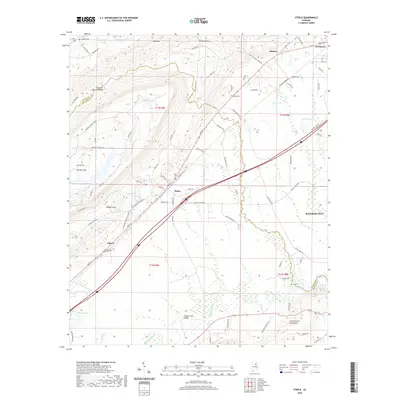 2020 Steele2020 Print · USGSThe northern Alabama borderlands of Etowah and St. Clair Counties are revealed in this recent survey of Steele and the surrounding ridgelines. Researchers can trace family history through local landmarks like Deerman Chapel Cemetery, Gilbert, and the Chandler Natural Bridge.
 - 2020 Map of Dunaway Mountain, 2020 Print
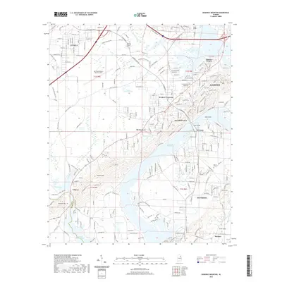 2020 Dunaway Mountain2020 Print · USGSThe river and rail corridors south of Gadsden come into focus in this contemporary map of the Coosa River valley. Researchers can trace the development of Southside and Rainbow City alongside older landmarks like Pilgrims Rest Cem and Dunaway Mtn.
Showing maps 1-25 of 29
Top cities near Rainbow City
- Gadsden historical maps
- Anniston historical maps
- Boaz historical maps
- Southside historical maps
- Attalla historical maps
- Glencoe historical maps
See more
Top neighborhoods of Rainbow City
Frequently asked questions
- What are the different types of historical maps available for Rainbow City?
- What is the oldest map of Rainbow City?
- Where can I purchase historical maps of Rainbow City for my home or office?
- Where can I download high-res historical maps of Rainbow City?
- Are there historical topographic maps available for Rainbow City?
- Is there historical aerial imagery available for Rainbow City?
- Where are historical maps of Rainbow City sourced from?