Old Maps of Stewart, Alabama for Genealogy
Trace your family roots with 10 historic maps of Stewart. These high-res maps reveal old neighborhoods, homesites, landmarks, and streets — helping you uncover where your ancestors lived and how the area evolved over time.
- Explore historic neighborhoods: Identify where your relatives may have lived in the 1800s or 1900s.
- Compare maps over time: Trace the changes in streets, buildings, and landmarks for multi-generational research.
- Perfect for genealogy & ancestry research: Used by family historians and researchers to map out lineage and migration.
These maps are an incredible resource for exploring your personal connection to Stewart's past.
Stewart, AL maps
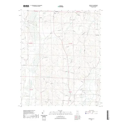
(10)- 1953 Map of Birmingham, 1964 Print
 1953 Birmingham1964 Print · USGSCentral Alabama at mid-century shows a landscape defined by industrial expansion and the iron-rich ridges surrounding Birmingham. Researchers can trace the extensive rail networks of the L & N RR or locate historic federal sites like the Anniston Ordnance Depot.4 unique versions available
 - 1956 Map of Birmingham
 1956 Birmingham1956 Print · USGSCentral Alabama in the mid-fifties exhibits a landscape of growing cities and deep-rooted industrial corridors. Genealogists and historians can trace the development of suburban Mountain Brook or locate regional hubs like Sylacauga and Jasper.
 - 1957 Map of Birmingham
 1957 Birmingham1957 Print · USGSNorth-Central Alabama in the mid-fifties is an industrial powerhouse centered on the steel valleys and sprawling iron ridges. Genealogists and historians can trace the rail-linked growth of Birmingham and Tuscaloosa, or locate rural landmarks like Talladega College and the Anniston Ordnance Depot.
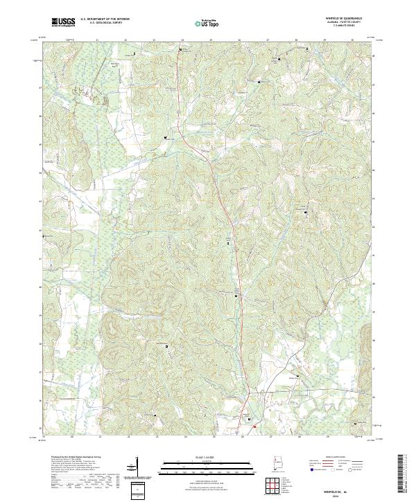
 - 1967 Map of Winfield SE, 1968 Print
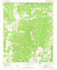 1967 Winfield SE1968 Print · USGSFayette County in the late sixties remains a landscape of forest and creek-side settlements. Researchers can trace family history through a high density of country landmarks like Housh Chapel Ch, Unity Ch, and the Fowler Cem.
 - 1984 Map of Jasper, 1985 Print
 1984 Jasper1985 Print · USGSIn the mid-1980s, the Walker County coalfields were a complex web of rail lines and river terminals. Researchers can trace the industrial heritage of the Mulberry Fork and locate local landmarks like the Carbon Hill National Fish Hatchery or Saragossa Ch.2 unique versions available
 - 2011 Map of Winfield SE, 2011 Print
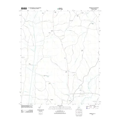 2011 Winfield SE2011 Print · USGSCovers Stewart, including Winfield, Glen Allen, and other nearby areas
 - 2014 Map of Winfield SE, 2014 Print
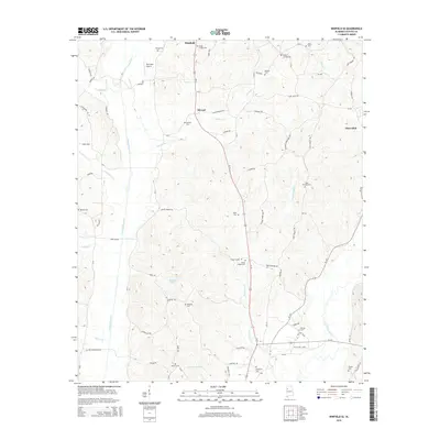 2014 Winfield SE2014 Print · USGSCovers Stewart, including Winfield, Glen Allen, and other nearby areas
 - 2018 Map of Winfield SE, 2018 Print
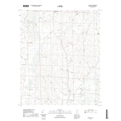 2018 Winfield SE2018 Print · USGSCovers Stewart, including Winfield, Glen Allen, and other nearby areas
 - 2020 Map of Winfield SE, 2020 Print
 2020 Winfield SE2020 Print · USGSCovers Stewart, including Winfield, Glen Allen, and other nearby areas
 - 2024 Map of Winfield SE, 2024 Print
 2024 Winfield SE2024 Print · USGSFayette County in the early 2020s remains a landscape of deep rural roots and winding waterways. Researchers can trace family history through a high density of burial grounds including Hodge Chapel Cem, Elbethel Cem, and Hopewell Cem near the Sipsey River.
End of results
Showing maps 1-10 of 10
Top cities near Stewart
- Fayette historical maps
- Hamilton historical maps
- Winfield historical maps
- Guin historical maps
- Berry historical maps
- Brilliant historical maps
See more
Frequently asked questions
- What are the different types of historical maps available for Stewart?
- What is the oldest map of Stewart?
- Where can I purchase historical maps of Stewart for my home or office?
- Where can I download high-res historical maps of Stewart?
- Are there historical topographic maps available for Stewart?
- Is there historical aerial imagery available for Stewart?
- Where are historical maps of Stewart sourced from?