Old Maps of Spruce Pine, Alabama for Academic Research
Study the evolution of Spruce Pine with 13 high-resolution historic maps. Whether you're teaching, researching, or modeling changes in land use, these maps provide essential visual documentation of urban, environmental, and geographic change.
- Analyze long-term change: Track patterns in development, transportation, and natural features.
- Ideal for environmental or urban studies: Support academic projects with primary historical map data.
- Use in the classroom or lab: Educators and researchers rely on these maps to bring historical context to life.
These maps are a powerful tool for teaching, research, and visualizing how Spruce Pine has changed over the decades.
Spruce Pine, AL maps
(13)- 1936 Map of Spruce Pine
 1936 Spruce Pine1936 Print · USGSFranklin County enters a period of modern transformation in the mid-1930s as federal projects and industry reshape the land. Genealogists can trace family footprints at Sloss Chapel, Enterprise Sch, and the Sargent Cem near the town of Waco.
 - 1945 Map of Spruce Pine
 1945 Spruce Pine1945 Print · USGSSpruce Pine and the surrounding Franklin County countryside appear here just as the post-war era began, balancing industrial mining with deep-rooted rural communities. Researchers can locate family landmarks like Sargent Cem and Enterprise Sch, or trace the old Southern railroad line.3 unique versions available
 - 1947 Map of Spruce Pine
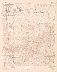 1947 Spruce Pine1947 Print · USGSFranklin County at the dawn of the post-war era shows a landscape of industrial mining and deep-woods hollows. Genealogists can locate family landmarks like Sargent Cem, Enterprise Sch, and the community of Spruce Pine.2 unique versions available
 - 1956 Map of Gadsden, 1966 Print
 1956 Gadsden1966 Print · USGSNorth Alabama in the mid-1950s shows a region transformed by river engineering and federal industry. Genealogists and local historians can trace the development of the Tennessee Valley through the growth of Huntsville, the sprawling Redstone Arsenal, and the expansive Guntersville Lake.3 unique versions available
 - 1958 Map of Gadsden
 1958 Gadsden1958 Print · USGSNorth Alabama comes alive in the late 1950s as the Tennessee Valley Authority’s massive river projects and the rise of the space industry reshaped the landscape. Researchers can trace the mid-century footprints of Huntsville, Redstone Arsenal, and the riverside rail networks of the Southern railroad.
 - 1960 Map of Gadsden
 1960 Gadsden1960 Print · USGSNorthern Alabama in the mid-1950s is defined by the mighty Tennessee River and its massive reservoirs. Trace the development of Huntsville and Redstone Arsenal or explore the vast William B Bankhead National Forest.2 unique versions available
 - 1963 Map of Gadsden
 1963 Gadsden1963 Print · USGSNorthern Alabama underwent a dramatic mid-century transformation as the Tennessee Valley became a hub for defense and industry. Researchers can trace the development of the Redstone Arsenal, the route of the Natchez Trace Parkway, and long-standing rail lines like the Southern Railway.
 - 1980 Map of Haleyville, 1983 Print
 1980 Haleyville1983 Print · USGSNorthwest Alabama at the start of the eighties shows a landscape of deep forests and new reservoirs as modern infrastructure settled into the hills. Researchers can trace the rail lines of the Southern and Illinois Central Gulf through towns like Haleyville, Moulton, and Natural Bridge.
 - 2011 Map of Spruce Pine, 2011 Print
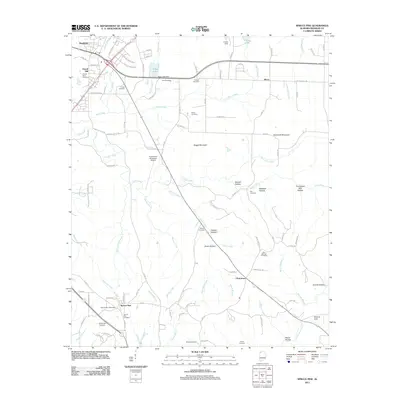 2011 Spruce Pine2011 Print · USGSThe community of Spruce Pine and the southern outskirts of Russellville are documented here in the early twenty-first century. Genealogists can trace family roots through numerous burial sites like Wilson-Nooe Cemetery and Scharangle Cemetery or locate the Spruce Pine Post Office.
 - 2014 Map of Spruce Pine, 2014 Print
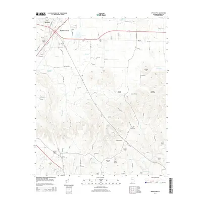 2014 Spruce Pine2014 Print · USGSFranklin County's rural landscape is documented here in the early twenty-first century, centered on the corridor south of Russellville. Genealogists and local historians can locate numerous family burial sites like Sibley Cem and trace the paths to Churntown or the unique Natural Arch.
 - 2018 Map of Spruce Pine, 2018 Print
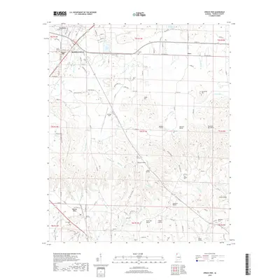 2018 Spruce Pine2018 Print · USGSNorthwest Alabama's industrial and agricultural roots are on display here in the late twenty-teens. Researchers can trace family history through sites like Spruce Pine Cem, the municipal Sloss Lake, and landmarks like Bill Pugh Field.
 - 2020 Map of Spruce Pine, 2020 Print
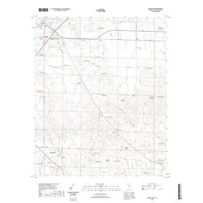 2020 Spruce Pine2020 Print · USGSFranklin County's southern highlands and the outskirts of Russellville are shown here during the early twenty-first century. Genealogists can trace family footprints across numerous rural burial sites like Spruce Pine Cem, Kirk Cem, and the Smith Cem.
 - 2024 Map of Spruce Pine, 2024 Print
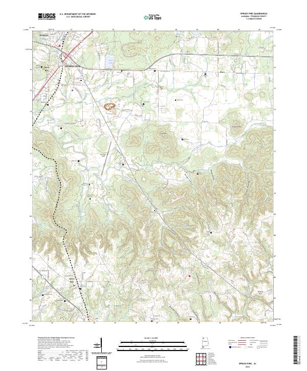 2024 Spruce Pine2024 Print · USGSFranklin County's deep hollows and high ridges are documented here in the early 2020s, showing the enduring rural character of the Alabama foothills. Genealogists can trace family landmarks and numerous burial sites like Sargent Cem, Drake Cem, and Spruce Pine Cem.
End of results
Showing maps 1-13 of 13
Top cities near Spruce Pine
- Russellville historical maps
- Hamilton historical maps
- Haleyville historical maps
- Hackleburg historical maps
- Bear Creek historical maps
- Littleville historical maps
See more
Frequently asked questions
- What are the different types of historical maps available for Spruce Pine?
- What is the oldest map of Spruce Pine?
- Where can I purchase historical maps of Spruce Pine for my home or office?
- Where can I download high-res historical maps of Spruce Pine?
- Are there historical topographic maps available for Spruce Pine?
- Is there historical aerial imagery available for Spruce Pine?
- Where are historical maps of Spruce Pine sourced from?