Old Maps of Haleyville, Alabama
Explore 36 old maps of Haleyville, spanning from 1936 to today. These high-resolution historic maps reveal how streets, neighborhoods, landmarks, and natural features evolved over time — perfect for genealogy, metal detecting, research, and local history exploration.
What you can do with these maps:
- See how Haleyville changed over time: Compare historical maps to modern-day views to trace roads, homesites, rail lines & more.
- View detailed metadata: Each map includes creators, publishers, year, scale, and archive source.
- Overlay maps with satellite & LiDAR: Visualize the past alongside modern tools to explore terrain & human change.
- Trusted historical sources: Maps sourced from the USGS, Library of Congress, and other archives.
- Access maps your way: View online, download high-res files, or order prints for personal or research use.
Start exploring old maps of Haleyville to uncover forgotten places, hidden landmarks, and the deep history beneath your feet.
Haleyville, AL maps
(36)- 1936 Map of Delmar
 1936 Delmar1936 Print · USGSHaleyville and the surrounding Winston County terrain are captured here in the mid-1930s as modern infrastructure reached the region. Genealogists and historians can trace the early road network of State Highway No 5 and locate landmarks like Prospect Ch and Quarter Creek.
 - 1936 Map of Kinlock Spring
 1936 Kinlock Spring1936 Print · USGSWinston and Franklin Counties were transitioning into a new era of federal land management and infrastructure during the mid-thirties. Genealogists can locate family-named landmarks like Posey Mill, Carrolls Cross Roads, and the CCC Camp No F 3 near the National Forest boundary.
 - 1936 Map of Phil Campbell
 1936 Phil Campbell1936 Print · USGSNorthwest Alabama at the height of the mid-thirties shows a landscape of ridge-top settlements and creek-side industry. Genealogists can trace family roots through numerous rural landmarks like Morris Hill Ch, Phillips Sch, and the Lowler Mines.
 - 1936 Map of Goddard
 1936 Goddard1936 Print · USGSNorthern Alabama's ridgeline terrain is documented in the mid-1930s, showing the intersection of heavy rail and forest boundaries. Genealogists can locate Union Grove Ch and Goddard near the Southern rail line and Black Warrior National Forest.
 - 1946 Map of Phil Campbell, 1967 Print
 1946 Phil Campbell1967 Print · USGSNorthwestern Alabama in the mid-1940s reveals a landscape defined by the SOUTHERN rail line and deep mining roots. Trace the locations of early rural schools and churches like Phillips High Sch and Shady Grove Ch, or locate old mines and the Donaldson Mill.3 unique versions available
 - 1947 Map of Phil Campbell
 1947 Phil Campbell1947 Print · USGSPhil Campbell and Bear Creek anchor this post-war survey of the Alabama hill country at a time when the Southern railroad still fueled local industry. Researchers can trace rural life through numerous sites like Phillips High Sch, Dime, and the Wilson Mine (Aband).2 unique versions available
 - 1947 Map of Kinlock Spring, 1974 Print
 1947 Kinlock Spring1974 Print · USGSWinston County and its surrounding forest lands are captured here during the mid-twentieth century as federal management and rural life intersected. Researchers can locate early schools and churches like Trapptown Sch, Maxwell Chapel, and the site of an abandoned CCC Camp.
 - 1949 Map of Kinlock Spring
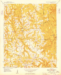 1949 Kinlock Spring1949 Print · USGSIn the late 1940s, this portion of the Bankhead National Forest was a landscape of remote ridges and family settlements. Genealogists can trace rural life through landmarks like Posey Mill, New Bethlehem, and the CCC Camp 931 (Abandoned).
 - 1956 Map of Gadsden, 1966 Print
 1956 Gadsden1966 Print · USGSNorth Alabama in the mid-1950s shows a region transformed by river engineering and federal industry. Genealogists and local historians can trace the development of the Tennessee Valley through the growth of Huntsville, the sprawling Redstone Arsenal, and the expansive Guntersville Lake.3 unique versions available
 - 1958 Map of Gadsden
 1958 Gadsden1958 Print · USGSNorth Alabama comes alive in the late 1950s as the Tennessee Valley Authority’s massive river projects and the rise of the space industry reshaped the landscape. Researchers can trace the mid-century footprints of Huntsville, Redstone Arsenal, and the riverside rail networks of the Southern railroad.
 - 1958 Map of Haleyville East, 1960 Print
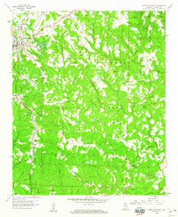 1958 Haleyville East1960 Print · USGSWinston County's rugged plateau and the edges of the Bankhead National Forest are captured here in the late fifties. Researchers can trace family history through sites like Boar Tush, DeFoor Sch, and the Southern railroad stops at Delmar.4 unique versions available
 - 1958 Map of Haleyville West, 1960 Print
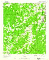 1958 Haleyville West1960 Print · USGSMarion County in the late fifties remains a landscape of remote hollows and high ridges near the William B Bankhead National Forest. Genealogists and historians can trace family locations through sites like Old Ireland Cem, Goddard, and the Craft Sch.3 unique versions available
 - 1960 Map of Gadsden
 1960 Gadsden1960 Print · USGSNorthern Alabama in the mid-1950s is defined by the mighty Tennessee River and its massive reservoirs. Trace the development of Huntsville and Redstone Arsenal or explore the vast William B Bankhead National Forest.2 unique versions available
 - 1963 Map of Gadsden
 1963 Gadsden1963 Print · USGSNorthern Alabama underwent a dramatic mid-century transformation as the Tennessee Valley became a hub for defense and industry. Researchers can trace the development of the Redstone Arsenal, the route of the Natchez Trace Parkway, and long-standing rail lines like the Southern Railway.
 - 1980 Map of Haleyville, 1983 Print
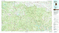 1980 Haleyville1983 Print · USGSNorthwest Alabama at the start of the eighties shows a landscape of deep forests and new reservoirs as modern infrastructure settled into the hills. Researchers can trace the rail lines of the Southern and Illinois Central Gulf through towns like Haleyville, Moulton, and Natural Bridge.
 - 2000 Map of Kinlock Spring, 2003 Print
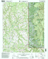 2000 Kinlock Spring2003 Print · USGSThe Tennessee Valley Divide defines the terrain of Winston and Lawrence counties in the late twentieth century, where forest management and rural life intersect. Genealogists can locate several family burial grounds and community landmarks like Posey Mill Cem, New Bethlehem Ch, and Carroll Crossroads.
 - 2011 Map of Phil Campbell, 2011 Print
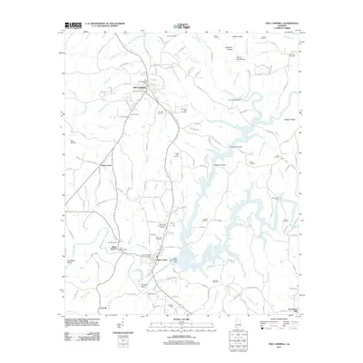 2011 Phil Campbell2011 Print · USGSThe community of Phil Campbell and its surrounding hill country are captured in this 2011 survey. Local researchers can trace family landmarks and early industry through sites like Allens Factory, Mars Hill Cemetery, and the Upper Bear Creek Dam.
 - 2011 Map of Haleyville East, 2011 Print
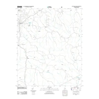 2011 Haleyville East2011 Print · USGSWinston County, Alabama, is documented here in the early 2000s, showing a landscape defined by creek valleys and small rural communities. Genealogists can locate family-named sites like Poole Cemetery and Ryefield Cemetery, or trace old roads near Boar Tush and Delmar.
 - 2011 Map of Haleyville West, 2011 Print
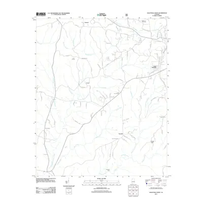 2011 Haleyville West2011 Print · USGSThe outskirts of Winston County come into focus in the early twenty-first century as suburban Haleyville gives way to rural creek valleys. Researchers can trace family history through numerous sites like Trinity, New Hope Cemetery, and Thornhill Cemetery.
 - 2011 Map of Kinlock Spring, 2011 Print
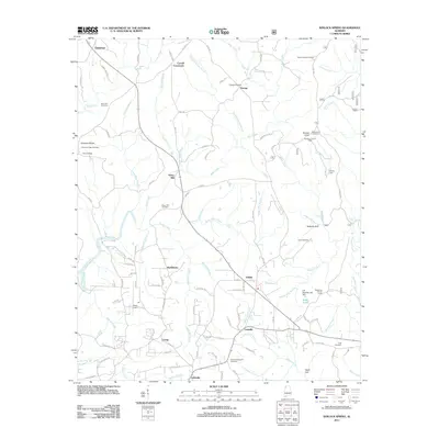 2011 Kinlock Spring2011 Print · USGSWinston County, Alabama, is shown here in the early twenty-first century as a land of crossroads communities and creek-fed valleys. Genealogists and local historians can trace family roots at Posey Mill, Winston Memorial Cemetery, and Poplar Spring Cemetery.
 - 2014 Map of Haleyville East, 2014 Print
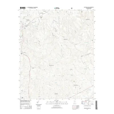 2014 Haleyville East2014 Print · USGSWinston County, Alabama, at the start of the 2010s reveals a ridge-and-valley landscape defined by the Tennessee Valley Divide. Genealogists and local historians can trace family ties through numerous rural sites like Boar Tush Church Cem, Ayers Cem, and the Elliott Family Cem.
 - 2014 Map of Haleyville West, 2014 Print
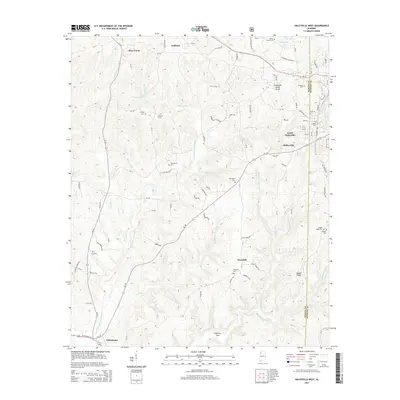 2014 Haleyville West2014 Print · USGSThe Haleyville area of Winston County is shown here in the early twenty-first century, positioned along the significant Tennessee Valley Divide. Family historians can locate numerous rural burial sites like Union Grove Cem, Ireland Cem, and Thornhill Cem nestled among the branches of the Buttahatchee River.
 - 2014 Map of Kinlock Spring, 2014 Print
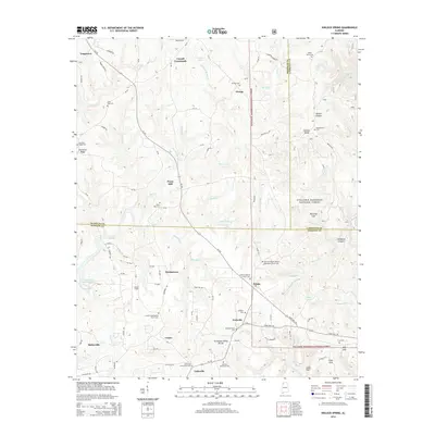 2014 Kinlock Spring2014 Print · USGSNorthwest Alabama at the Winston and Franklin county line reveals a landscape of high ridges and deep gulfs within the national forest. Researchers can trace the legacy of small communities and family lineages through sites like Posey Mill, Martintown, and the DeGraffenreid Cem.
 - 2014 Map of Phil Campbell, 2014 Print
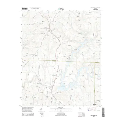 2014 Phil Campbell2014 Print · USGSThe rural uplands of northwest Alabama are shown in detail as the modern reservoir system integrates with long-standing communities. Researchers can trace family roots through numerous sites like Phil Campbell Cem, John Bull Cem, and the Bear Creek settlement.
 - 2018 Map of Haleyville East, 2018 Print
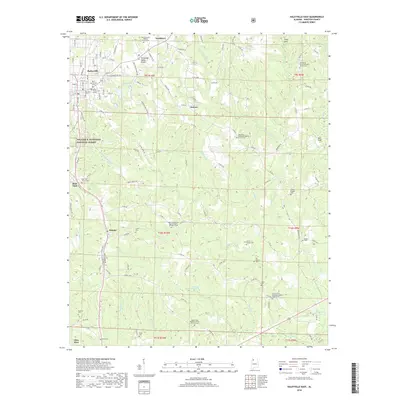 2018 Haleyville East2018 Print · USGSWinston County's rural landscape is captured here in the late twenty-teens, centering on the eastern outskirts of Haleyville and the Tennessee Valley Divide. Researchers can locate numerous family cemeteries and remote churches like Boar Tush Church Cem and Mount Zion Baptist Church of Christ Cem.
Showing maps 1-25 of 36
Top cities near Haleyville
- Guin historical maps
- Hackleburg historical maps
- Double Springs historical maps
- Bear Creek historical maps
- Phil Campbell historical maps
- Brilliant historical maps
See more
Frequently asked questions
- What are the different types of historical maps available for Haleyville?
- What is the oldest map of Haleyville?
- Where can I purchase historical maps of Haleyville for my home or office?
- Where can I download high-res historical maps of Haleyville?
- Are there historical topographic maps available for Haleyville?
- Is there historical aerial imagery available for Haleyville?
- Where are historical maps of Haleyville sourced from?