2020s Maps of Haleyville, Alabama
Explore 8 historic maps of Haleyville from the 2020s. These maps offer a rare glimpse into what life looked like during the 2020s — showing old roads, neighborhoods, homes, and landmarks that have changed or disappeared over time.
Whether you're researching your family's past, planning a metal detecting trip, or studying how Haleyville's landscape evolved across the 2020s, these high-resolution maps are a powerful tool for exploring the history of this region.
- Focus on a specific era: All maps on this page are from the 2020s, giving you a focused view of this time period.
- See what’s changed: Compare century-old streets, trails, and buildings to today's modern landscape using overlays and satellite layers.
- Research with precision: Use these maps for genealogy, historical research, land use analysis, or educational projects.
- View, download, or print: Maps are fully viewable online in high resolution, and can be downloaded or printed for your own records.
Start exploring Haleyville's history through authentic maps from the 2020s. This is your window into the past.
Haleyville, AL maps
(8)- 2020 Map of Phil Campbell, 2020 Print
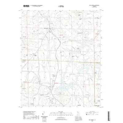 2020 Phil Campbell2020 Print · USGSCovers Haleyville, including Bear Creek, Phil Campbell, and other nearby areas
 - 2021 Map of Haleyville East, 2021 Print
 2021 Haleyville East2021 Print · USGSCovers Haleyville, including Boar Tush, DeFoor, and other nearby areas
 - 2021 Map of Kinlock Spring, 2021 Print
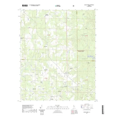 2021 Kinlock Spring2021 Print · USGSCovers Haleyville, including Forkville, Martintown, and other nearby areas
 - 2021 Map of Haleyville West, 2021 Print
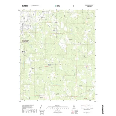
 2021 Haleyville West2021 Print · USGSCovers Haleyville, including Bear Creek, Thornhill, and other nearby areas
 - 2024 Map of Phil Campbell, 2024 Print
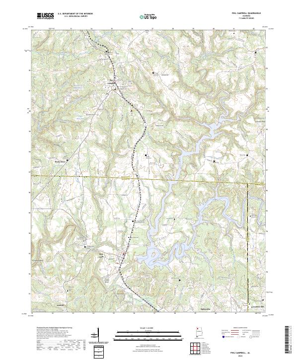 2024 Phil Campbell2024 Print · USGSThe town of Phil Campbell and the surrounding hills are captured in this recent survey of the Franklin and Marion County border. Genealogists can trace family sites at Old Zion Factory Cem, Mountain Home Cem, and Shady Grove.
 - 2024 Map of Haleyville East, 2024 Print
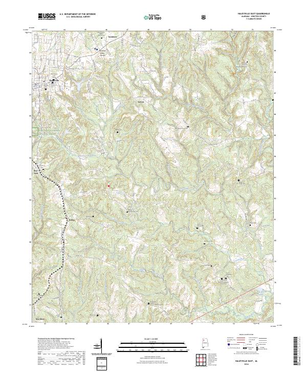 2024 Haleyville East2024 Print · USGSWinston County, Alabama, is captured here in a period of rural continuity where the city of Haleyville meets the William B. Bankhead National Forest. Genealogists can trace family names at numerous burial sites, including the Walker Chapel Cem and Elliott Family Cem.
 - 2024 Map of Kinlock Spring, 2024 Print
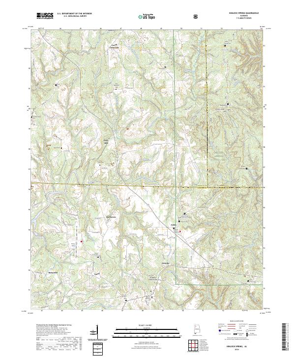 2024 Kinlock Spring2024 Print · USGSUpper Winston County comes into focus in this recent survey of the deep gulfs and high ridges of the national forest. Researchers can trace rural lineages through numerous sites like Posey Mill, Kinlock Spring, and the Old Macedonia Cem.
 - 2024 Map of Haleyville West, 2024 Print
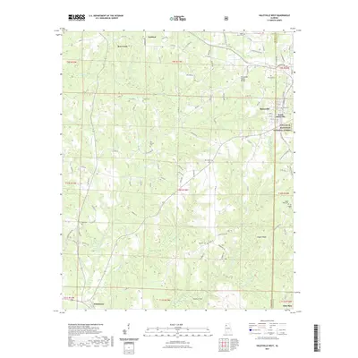
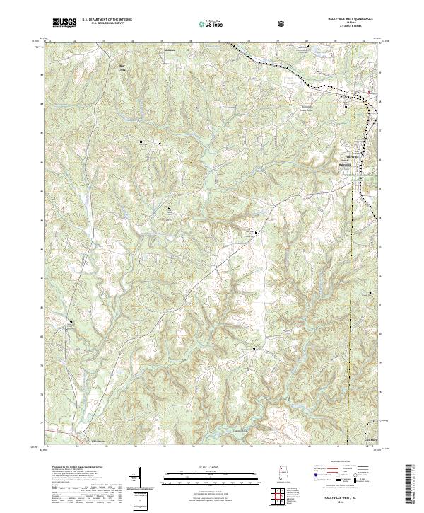 2024 Haleyville West2024 Print · USGSMarion County's upland ridge country is documented here in the early twenty-first century as the landscape transitions into the national forest. Researchers can trace family ties through numerous small burial grounds and rural landmarks like Trinity Cem, Thornhill Cem, and New Hope Baptist Church.
End of results
Showing maps 1-8 of 8
Top cities near Haleyville
- Guin historical maps
- Hackleburg historical maps
- Double Springs historical maps
- Bear Creek historical maps
- Phil Campbell historical maps
- Brilliant historical maps
See more
Frequently asked questions
- What are the different types of historical maps available for Haleyville?
- What is the oldest map of Haleyville?
- Where can I purchase historical maps of Haleyville for my home or office?
- Where can I download high-res historical maps of Haleyville?
- Are there historical topographic maps available for Haleyville?
- Is there historical aerial imagery available for Haleyville?
- Where are historical maps of Haleyville sourced from?