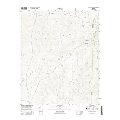
2014 Map of Haleyville West
USGS Topo · Published 2014About this map
Haleyville and South Haleyville anchor the eastern edge of this Winston County landscape, situated where the Tennessee Valley Divide splits the regional drainage. The western half is characterized by a dense network of creeks and branches, including the W Br Buttahatchee River and Mulberry Br, which carve through the terrain near the rural settlements of Bear Creek and Goddard. This 2014 survey reveals a dispersed settlement pattern defined by numerous family and community burial grounds.
Find a feature on this map
102 named features on this map. Tap any name to fly to it.
Don’t see what you’re looking for? This feature index may not catch every label — zoom into the map to look around manually.
Map Details
Editions of this 2014 Haleyville West Map
This is the sole edition of this map. No revisions or reprints were ever made.
Other maps of this area

1936 · Delmar
USGS Topo · 1:24,000

1936 · Kinlock Spring
USGS Topo · 1:24,000

1936 · Phil Campbell
USGS Topo · 1:24,000

1936 · South Of Hackleburg
USGS Topo · 1:24,000

1936 · Hackleburg
USGS Topo · 1:24,000

1936 · Goddard
USGS Topo · 1:24,000

1946 · Hackleburg
USGS Topo · 1:24,000

1946 · Phil Campbell
USGS Topo · 1:24,000

1947 · Phil Campbell
USGS Topo · 1:24,000

1947 · Kinlock Spring
USGS Topo · 1:24,000