
1946 Map of Hackleburg
USGS Topo · Published 1960About this map
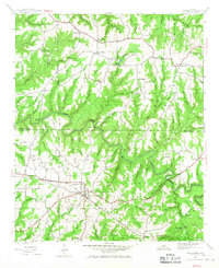
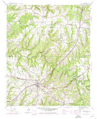
Hackleburg serves as the central hub of this 1946 survey, situated where the Illinois Central Railroad and several major thoroughfares intersect. The landscape is defined by the winding course of Bear Creek, which carves deep bends including Bailey Bend and Horseshoe Bend as it flows through the Franklin and Marion County line. Early transportation infrastructure is evident in the presence of the Military Road and its crossing at Military Bridge.
Find a feature on this map
60 named features on this map. Tap any name to fly to it.
Don’t see what you’re looking for? This feature index may not catch every label — zoom into the map to look around manually.
Map Details
Editions of this 1946 Hackleburg Map
3 editions found
Other maps of this area

1936 · Hodges
USGS Topo · 1:24,000

1936 · Isbell
USGS Topo · 1:24,000

1936 · Phil Campbell
USGS Topo · 1:24,000

1936 · South Of Hackleburg
USGS Topo · 1:24,000

1936 · Hackleburg
USGS Topo · 1:24,000

1936 · Spruce Pine
USGS Topo · 1:24,000

1936 · Goddard
USGS Topo · 1:24,000

1936 · Guinn Cross Roads
USGS Topo · 1:24,000

1945 · Spruce Pine
USGS Topo · 1:24,000
1945 · Isbell
USGS Topo · 1:24,000