
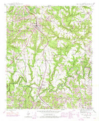
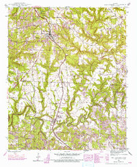
1946 Map of Phil Campbell
USGS Topo · Published 1967About this map
The Southern railroad line anchors this post-war landscape, connecting the town of Phil Campbell with the community of Bear Creek to the south. The area is defined by the sharp divides between industrial extractive sites and deep-rooted rural institutions. Abandoned operations like the Wilson Mine and B R Cummings Mine sit in close proximity to active mining zones like the Northwest Mines and Benefield Mines, signaling the region's transition away from earlier extraction methods.
Find a feature on this map
61 named features on this map. Tap any name to fly to it.
Don’t see what you’re looking for? This feature index may not catch every label — zoom into the map to look around manually.
Map Details
Editions of this 1946 Phil Campbell Map
3 editions found
Other maps of this area

1936 · Newburg
USGS Topo · 1:24,000

1936 · Delmar
USGS Topo · 1:24,000

1936 · Kinlock Spring
USGS Topo · 1:24,000

1936 · Isbell
USGS Topo · 1:24,000

1936 · Phil Campbell
USGS Topo · 1:24,000

1936 · South Of Hackleburg
USGS Topo · 1:24,000

1936 · Hackleburg
USGS Topo · 1:24,000

1936 · Spruce Pine
USGS Topo · 1:24,000

1936 · Goddard
USGS Topo · 1:24,000

1945 · Spruce Pine
USGS Topo · 1:24,000