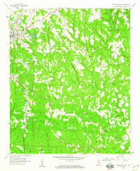
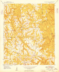
1958 Map of Haleyville East
USGS Topo · Published 1960About this map
The industrial and rural landscape of Winston County takes shape around Haleyville and the sprawling William B Bankhead National Forest. This late 1950s survey documents a region defined by the Southern railroad corridor and the resource-rich terrain of the Tennessee Valley boundary. Coal and gravel extraction are evident through various strip mines and gravel pits scattered near Delmar and Glen Mary. The intricate drainage system, featuring Clear Creek and its many branches like Beech Grove Branch, dictates the placement of early settlements and roads.
Find a feature on this map
55 named features on this map. Tap any name to fly to it.
Don’t see what you’re looking for? This feature index may not catch every label — zoom into the map to look around manually.
Map Details
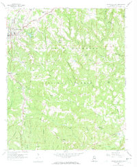
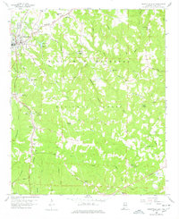
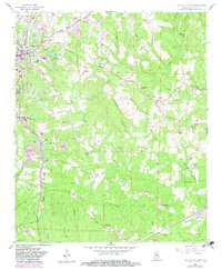
Editions of this 1958 Haleyville East Map
4 editions found
Other maps of this area

1936 · Delmar
USGS Topo · 1:24,000

1936 · Kinlock Spring
USGS Topo · 1:24,000

1936 · Phil Campbell
USGS Topo · 1:24,000

1936 · Moulton
USGS Topo · 1:48,000

1936 · Goddard
USGS Topo · 1:24,000

1940 · Mt Hope
USGS Topo · 1:62,500

1946 · Phil Campbell
USGS Topo · 1:24,000

1947 · Phil Campbell
USGS Topo · 1:24,000

1947 · Kinlock Spring
USGS Topo · 1:24,000
1949 · Kinlock Spring
USGS Topo · 1:24,000