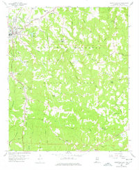
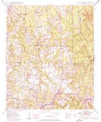
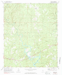
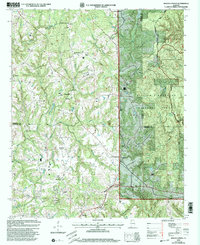
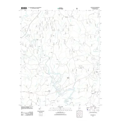
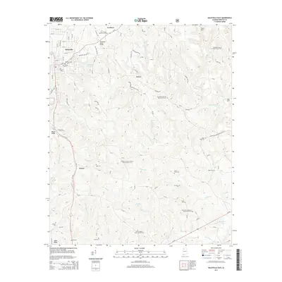
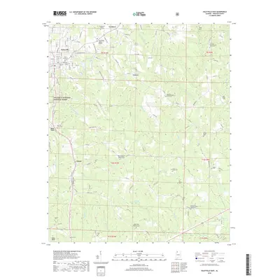
1958 Map of Haleyville East
USGS Topo · Published 1978About this map
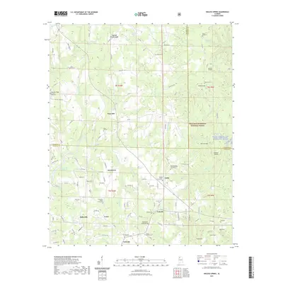
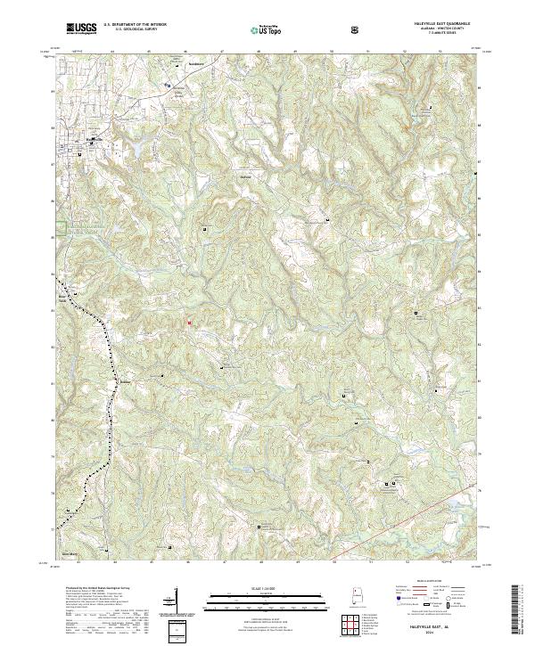
Haleyville serves as the primary municipal hub in this late-1950s survey of Winston County, positioned near the Tennessee Valley Divide. The landscape is dominated by the expansive William B. Bankhead National Forest, which covers the central and southern portions of the quadrangle. Outside the main town, smaller settlements like Needmore and Delmar are connected by a network of rural routes, including the Lower Double Springs Road and the historic Yankee Trace.
Find a feature on this map
58 named features on this map. Tap any name to fly to it.
Don’t see what you’re looking for? This feature index may not catch every label — zoom into the map to look around manually.
Map Details
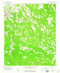
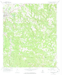
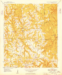
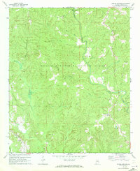
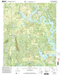
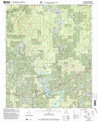
Editions of this 1958 Haleyville East Map
4 editions found
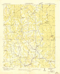
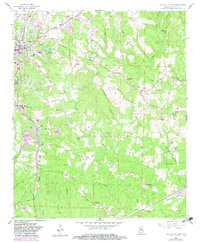
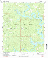
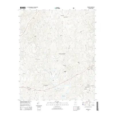
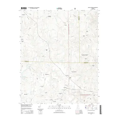
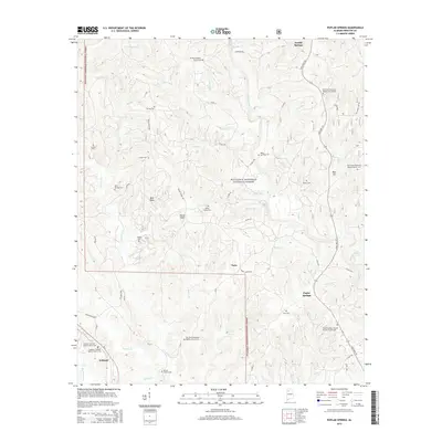
Historical Maps of Haleyville Through Time
38 maps found

1936 Delmar
Winston County, AL
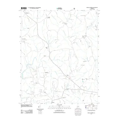
1936 Kinlock Spring
Winston County, AL
1947 Kinlock Spring
Winston County, AL
1949 Kinlock Spring
Winston County, AL
1958 Haleyville East
Winston County, AL
1969 Black Pond
Winston County, AL
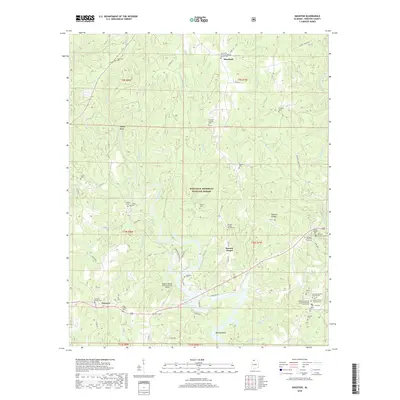
1969 Houston
Winston County, AL
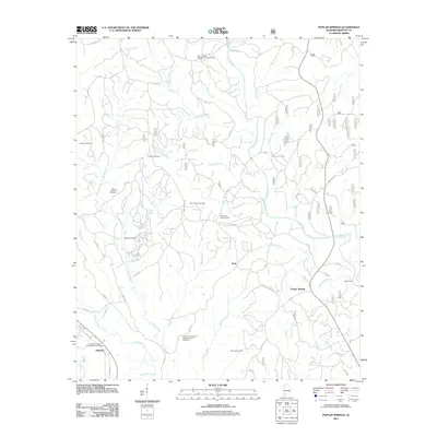
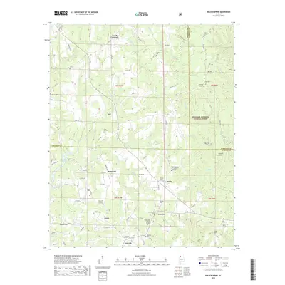
1969 Poplar Springs
Winston County, AL
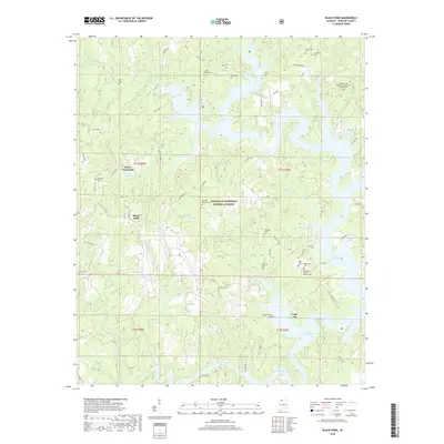
2000 Black Pond
Winston County, AL
2000 Houston
Winston County, AL
2000 Kinlock Spring
Winston County, AL
2000 Poplar Springs
Winston County, AL
2011 Black Pond
Winston County, AL
2011 Haleyville East
Winston County, AL
2011 Houston
Winston County, AL
2011 Kinlock Spring
Winston County, AL
2011 Poplar Springs
Winston County, AL
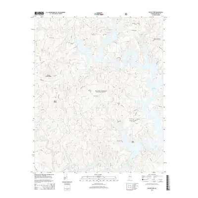
2014 Black Pond
Winston County, AL
2014 Haleyville East
Winston County, AL
2014 Houston
Winston County, AL
2014 Kinlock Spring
Winston County, AL
2014 Poplar Springs
Winston County, AL
2018 Black Pond
Winston County, AL
2018 Haleyville East
Winston County, AL
2018 Houston
Winston County, AL
2018 Kinlock Spring
Winston County, AL
2018 Poplar Springs
Winston County, AL
2021 Black Pond
Winston County, AL
2021 Haleyville East
Winston County, AL
2021 Houston
Winston County, AL
2021 Kinlock Spring
Winston County, AL
2021 Poplar Springs
Winston County, AL
2023 Poplar Springs
Winston County, AL
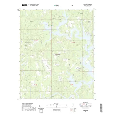
2024 Black Pond
Winston County, AL
2024 Haleyville East
Winston County, AL
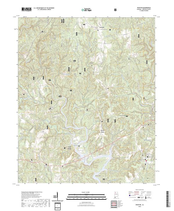
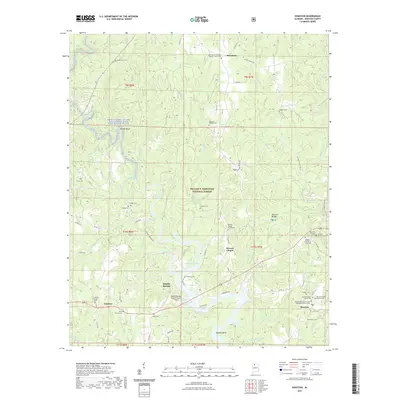
2024 Houston
Winston County, AL
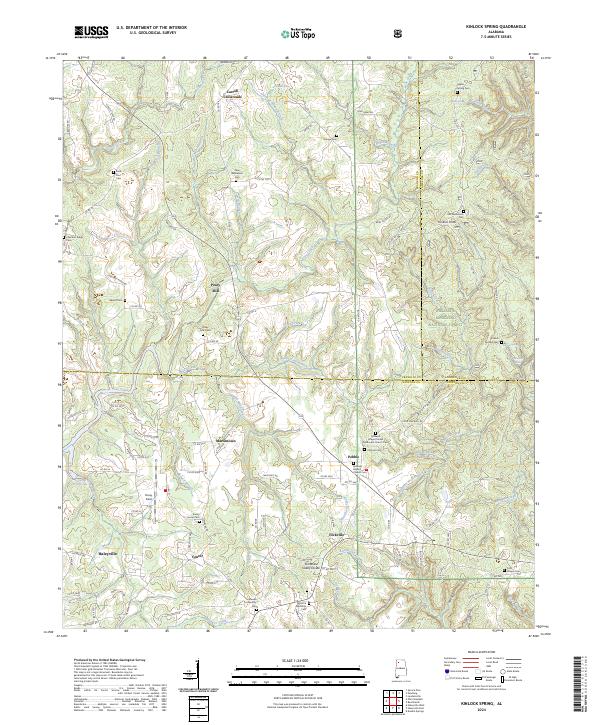
2024 Kinlock Spring
Winston County, AL
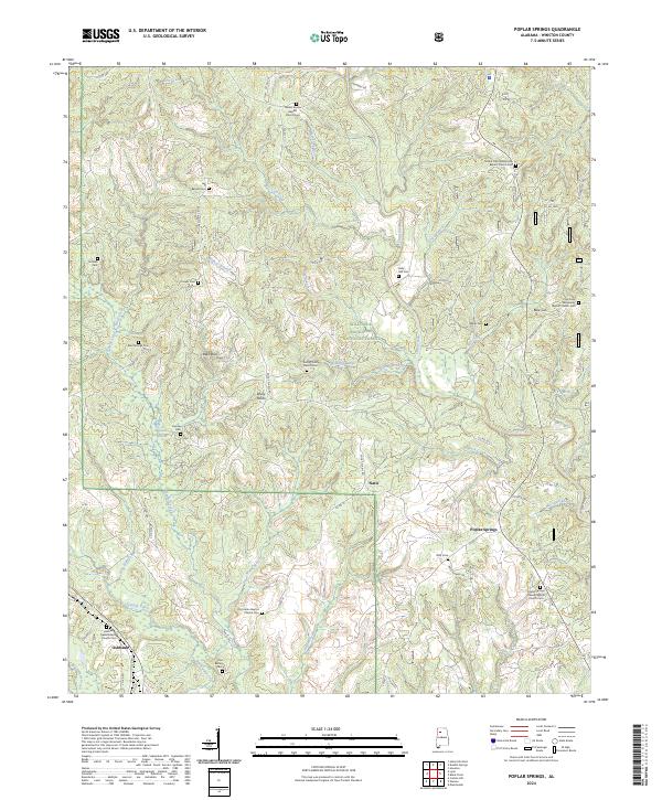
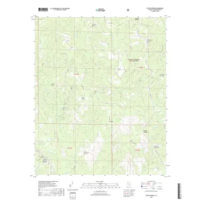
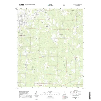
2024 Poplar Springs
Winston County, AL