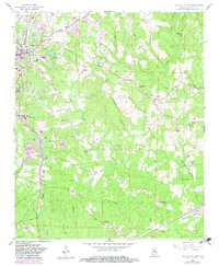
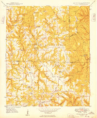
1958 Map of Haleyville East
USGS Topo · Published 1983About this map
Haleyville anchors the northwestern corner of this Winston County landscape, where the Southern railroad line cuts south toward Delmar. The terrain is defined by the Divide between the Buttahatchee River and the Tennessee Valley, creating a complex network of ridges and hollows. Rural life in the mid-20th century is well-documented through a dense concentration of community centers such as Prospect Ch, Macedonia Ch, and Friendship Ch.
Find a feature on this map
52 named features on this map. Tap any name to fly to it.
Don’t see what you’re looking for? This feature index may not catch every label — zoom into the map to look around manually.
Map Details
Editions of this 1958 Haleyville East Map
4 editions found
Other maps of this area

1936 · Delmar
USGS Topo · 1:24,000

1936 · Kinlock Spring
USGS Topo · 1:24,000

1936 · Phil Campbell
USGS Topo · 1:24,000

1936 · Moulton
USGS Topo · 1:48,000

1936 · Goddard
USGS Topo · 1:24,000

1940 · Mt Hope
USGS Topo · 1:62,500

1946 · Phil Campbell
USGS Topo · 1:24,000

1947 · Phil Campbell
USGS Topo · 1:24,000

1947 · Kinlock Spring
USGS Topo · 1:24,000
1949 · Kinlock Spring
USGS Topo · 1:24,000