Old Maps of Samson, Alabama for Hiking & Exploration
Hike through history with 15 historic maps of Samson. Explore old trails, ghost towns, and forgotten backroads — perfect for outdoor adventurers and local explorers.
- Rediscover forgotten places: Map out old mining camps, roads, and footpaths that no longer exist on modern maps.
- Layer with modern tools: Combine with LiDAR or satellite views to plan hikes through historical terrain.
- Made for exploration: Popular among hikers, overlanders, and local history lovers.
Use these maps to find adventure and explore the hidden past of Samson.
Samson, AL maps
(15)- 1953 Map of Andalusia, 1965 Print
 1953 Andalusia1965 Print · USGSSouth Alabama in the mid-twentieth century remains a land of pine forests and river-fed settlements. You can trace the vital rail corridors of the Louisville & Nashville and locate regional centers such as Andalusia, Brewton, and Monroeville.3 unique versions available
 - 1957 Map of Andalusia
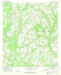
 1957 Andalusia1957 Print · USGSSouthern Alabama in the mid-1950s was a landscape defined by timbered stretches and the rhythmic flow of the Alabama River. Researchers can trace the legacy of the rail era through the Central of Georgia tracks and the storied river bluffs at Choctaw Bluff.
 - 1968 Map of Samson, 1970 Print
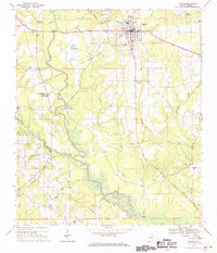 1968 Samson1970 Print · USGSGeneva County life in the late sixties centers on the railroad hub of Samson and the fertile bottomlands of the PEA RIVER. Local researchers can locate family landmarks like Hall and Rivers Cem, the Drive-in Theater, and Oak Ridge Ch.2 unique versions available
 - 1968 Map of Sellersville, 1971 Print
 1968 Sellersville1971 Print · USGSSoutheast Alabama’s agricultural heartland is documented here in the late sixties, showcasing the rural landscape at the border of Coffee and Geneva counties. Genealogists can trace family roots through landmarks like Weeks Cem, Friendship Ch, and the small settlement of Sellersville.2 unique versions available
 - 1986 Map of Andalusia
 1986 Andalusia1986 Print · USGSCovington County and the Wiregrass region are shown here in the mid-1980s, centered on the growing hubs of Andalusia and Opp. Genealogists and local historians can trace legacy sites like the Old Pioneer Cem, Straughn Sch, and the rail lines of the Louisville and Nashville RR.2 unique versions available
 - 2011 Map of Sellersville, 2011 Print
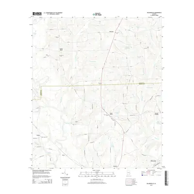
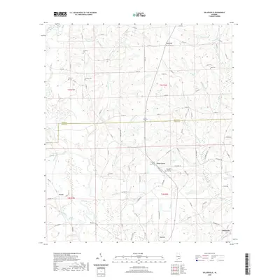
 2011 Sellersville2011 Print · USGSCovers Samson, including Mount Carmel, Weeks, and other nearby areas
 - 2011 Map of Samson, 2011 Print
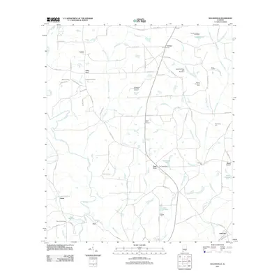
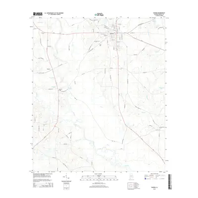
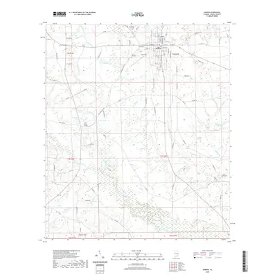
 2011 Samson2011 Print · USGSCovers Samson, including Ganer, Geneva County, and other nearby areas
 - 2014 Map of Samson, 2014 Print
 2014 Samson2014 Print · USGSCovers Samson, including Ganer, Geneva County, and other nearby areas
 - 2014 Map of Sellersville, 2014 Print
 2014 Sellersville2014 Print · USGSCovers Samson, including Mount Carmel, Weeks, and other nearby areas
 - 2018 Map of Samson, 2018 Print
 2018 Samson2018 Print · USGSCovers Samson, including Ganer, Geneva County, and other nearby areas
 - 2018 Map of Sellersville, 2018 Print
 2018 Sellersville2018 Print · USGSCovers Samson, including Mount Carmel, Weeks, and other nearby areas
 - 2020 Map of Sellersville, 2020 Print
 2020 Sellersville2020 Print · USGSCovers Samson, including Mount Carmel, Weeks, and other nearby areas
 - 2020 Map of Samson, 2020 Print
 2020 Samson2020 Print · USGSCovers Samson, including Ganer, Geneva County, and other nearby areas
 - 2024 Map of Sellersville, 2024 Print
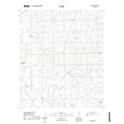
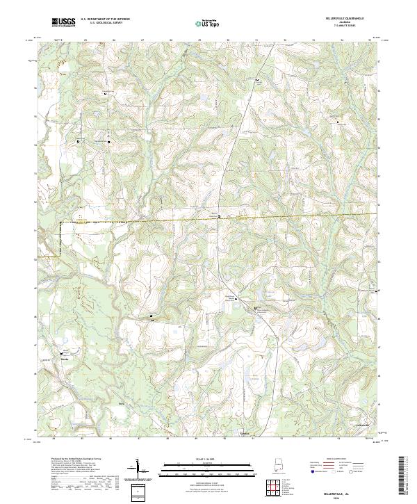 2024 Sellersville2024 Print · USGSGeneva and Coffee counties come into focus in this contemporary survey of the Alabama Wiregrass region. Genealogists can trace roots through community anchors like Weeks Chapel, Friendship Cem, and the historic settlement at Sellersville.
 - 2024 Map of Samson, 2024 Print
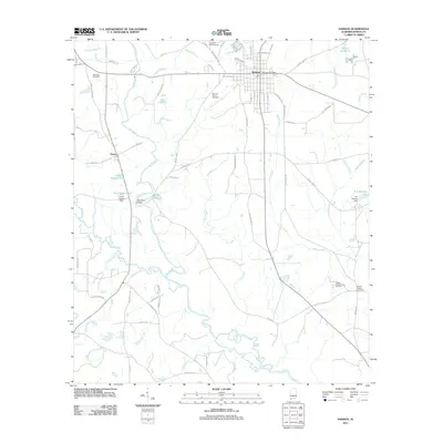
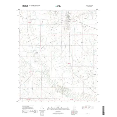
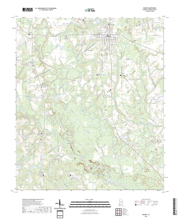 2024 Samson2024 Print · USGSSamson and the surrounding Geneva County countryside are shown here in the 2020s, centered on the Pea River and its rural tributaries. Researchers can locate numerous family-linked sites like the Smith Family Cem or trace the crossing at Barkers Ferry.
End of results
Showing maps 1-15 of 15
Top cities near Samson
- Enterprise historical maps
- Opp historical maps
- Geneva historical maps
- Kinston historical maps
- Eunola historical maps
- Coffee Springs historical maps
Frequently asked questions
- What are the different types of historical maps available for Samson?
- What is the oldest map of Samson?
- Where can I purchase historical maps of Samson for my home or office?
- Where can I download high-res historical maps of Samson?
- Are there historical topographic maps available for Samson?
- Is there historical aerial imagery available for Samson?
- Where are historical maps of Samson sourced from?