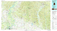
Old Maps of Forkland, Alabama for Genealogy
Trace your family roots with 19 historic maps of Forkland. These high-res maps reveal old neighborhoods, homesites, landmarks, and streets — helping you uncover where your ancestors lived and how the area evolved over time.
- Explore historic neighborhoods: Identify where your relatives may have lived in the 1800s or 1900s.
- Compare maps over time: Trace the changes in streets, buildings, and landmarks for multi-generational research.
- Perfect for genealogy & ancestry research: Used by family historians and researchers to map out lineage and migration.
These maps are an incredible resource for exploring your personal connection to Forkland's past.
Forkland, AL maps
(19)- 1947 Map of Mason Bend, 1948 Print
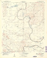 1947 Mason Bend1948 Print · USGSThe Black Warrior River winds through Greene and Hale counties in the late 1940s, defining a landscape of deep oxbows and rural quarters. Researchers can trace local genealogy through several school sites like Loyss Sch and family landmarks such as Walden Quarters and Creehill Cem.2 unique versions available
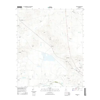
 - 1947 Map of Forkland, 1973 Print
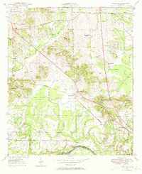 1947 Forkland1973 Print · USGSGreene County, Alabama, is documented here in the mid-1940s as the river-and-rail economy shaped local life. Researchers can trace family roots through numerous rural landmarks like Hard Bargain Cem, Thornhill Sta, and the Stonewall Taylor Sch.3 unique versions available
 - 1948 Map of Mason Bend
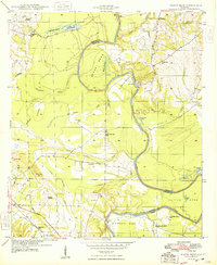 1948 Mason Bend1948 Print · USGSThe Black Warrior River winds through Greene and Hale counties in the late 1940s, revealing a landscape of river-bend settlements and labor quarters. Genealogists and historians can trace the locations of Ebenezer Sch, Walden Quarters, and Lock No 6.
 - 1949 Map of Forkland
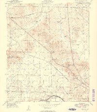 1949 Forkland1949 Print · USGSGreene County near the Tombigbee River in the late 1940s reveals a landscape of small schools and family-named landmarks. Trace the ST LOUIS SAN FRANCISCO rail line past Thornhill Sta or locate burial sites like Hard Bargain Cem.2 unique versions available
 - 1953 Map of Montgomery, 1964 Print
 1953 Montgomery1964 Print · USGSCentral Alabama's river-and-rail corridor is mapped here in the mid-fifties, showing the vital connections between the capital and the Black Belt. Genealogists and historians can trace rail depots and crossroads from Marion Junction to Wetumpka, alongside landmarks like Craig AFB.4 unique versions available
 - 1956 Map of Montgomery
 1956 Montgomery1956 Print · USGSCentral Alabama in the mid-1950s shows a landscape defined by its great river systems and a booming military aviation presence. Genealogists and historians can trace the rail corridors of the Southern Railway and locate tactical bases like Maxwell AFB and Craig AFB.
 - 1957 Map of Montgomery
 1957 Montgomery1957 Print · USGSCentral Alabama in the mid-fifties is defined by the winding Alabama River and a strategic network of military bases and rail lines. Trace family roots in Montgomery and Selma, or locate landmarks like Craig AFB and the State Capitol before the interstate era.
 - 1986 Map of Demopolis
 1986 Demopolis1986 Print · USGSWest-central Alabama's river-and-rail corridors are preserved here in the mid-eighties, showing the deep-seated settlement patterns of the Black Belt. Genealogists and historians can locate family-named landmarks like Crenshaw Quarters or industrial sites including Cleveland Mills and the Warrior Lock and Dam.
 - 1990 Map of Demopolis
 1990 Demopolis1990 Print · USGSWest-central Alabama's river corridors and educational centers are mapped here in the late twentieth century. Genealogists and local historians can trace old family sites near Oak Grove Ch, the historic Marion Military Institute, or the landings at Finchal Ferry.
 - 2011 Map of Forkland, 2011 Print
 2011 Forkland2011 Print · USGSCovers Forkland, including Hycutt, Thornhill, and other nearby areas
 - 2011 Map of Mason Bend, 2011 Print
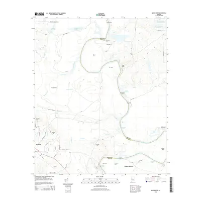
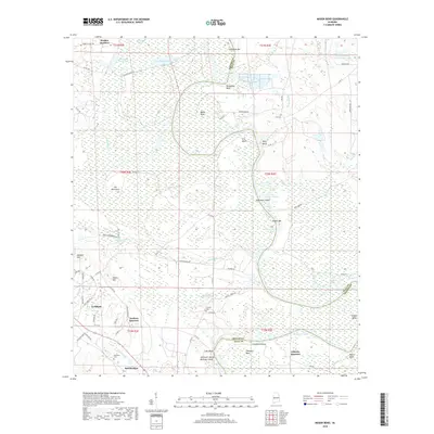
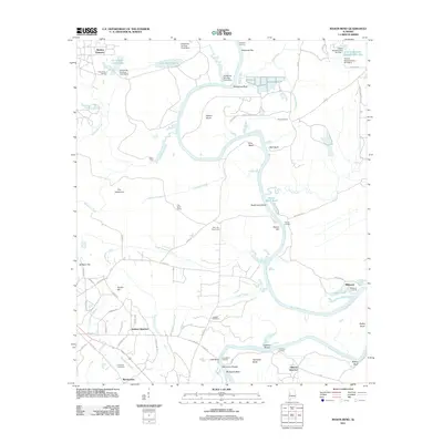 2011 Mason Bend2011 Print · USGSCovers Forkland, including Walden Quarters, Merriwether, and other nearby areas
 - 2014 Map of Forkland, 2014 Print
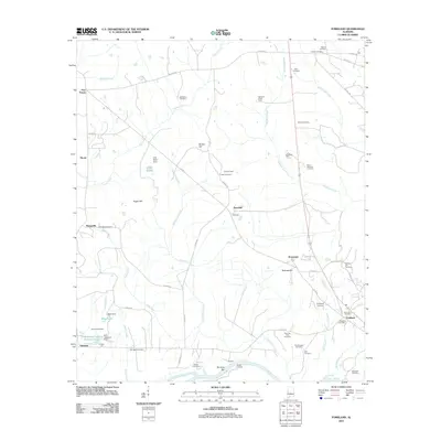
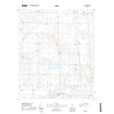
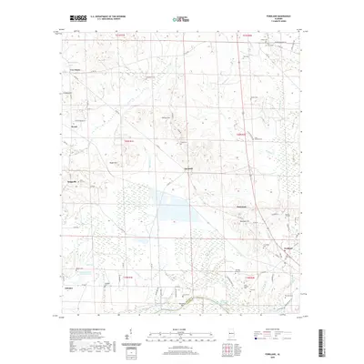
 2014 Forkland2014 Print · USGSCovers Forkland, including Hycutt, Thornhill, and other nearby areas
 - 2014 Map of Mason Bend, 2014 Print
 2014 Mason Bend2014 Print · USGSCovers Forkland, including Walden Quarters, Merriwether, and other nearby areas
 - 2018 Map of Mason Bend, 2018 Print
 2018 Mason Bend2018 Print · USGSCovers Forkland, including Walden Quarters, Merriwether, and other nearby areas
 - 2018 Map of Forkland, 2018 Print
 2018 Forkland2018 Print · USGSCovers Forkland, including Hycutt, Thornhill, and other nearby areas
 - 2020 Map of Forkland, 2020 Print
 2020 Forkland2020 Print · USGSCovers Forkland, including Hycutt, Thornhill, and other nearby areas
 - 2020 Map of Mason Bend, 2020 Print
 2020 Mason Bend2020 Print · USGSCovers Forkland, including Walden Quarters, Merriwether, and other nearby areas
 - 2024 Map of Forkland, 2024 Print
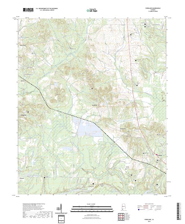 2024 Forkland2024 Print · USGSThe Black Belt region of Greene County appears here as it transitions from the Tombigbee riverfront into a landscape of family-named hills and historic cemeteries. Researchers can trace ancestral locations at Bethlehem Cem and Saint John Cem or locate the old crossing at Durdens Ferry.
 - 2024 Map of Mason Bend, 2024 Print
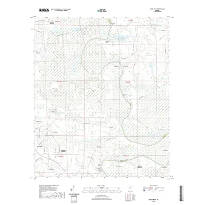
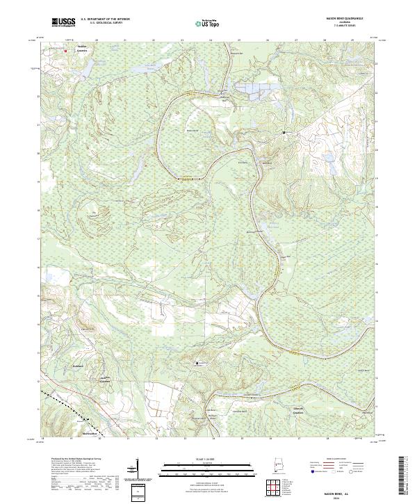 2024 Mason Bend2024 Print · USGSThe Black Warrior River snakes through Greene and Hale counties in this recent survey of the Alabama interior. Researchers can locate family landmarks like Walden Quarters, Erie Cem, and the historic crossing at McAlpines Ferry along the river's winding bends.
End of results
Showing maps 1-19 of 19
Top cities near Forkland
Top neighborhoods of Forkland
Frequently asked questions
- What are the different types of historical maps available for Forkland?
- What is the oldest map of Forkland?
- Where can I purchase historical maps of Forkland for my home or office?
- Where can I download high-res historical maps of Forkland?
- Are there historical topographic maps available for Forkland?
- Is there historical aerial imagery available for Forkland?
- Where are historical maps of Forkland sourced from?