Old Maps of Calumet, Alabama for Academic Research
Study the evolution of Calumet with 10 high-resolution historic maps. Whether you're teaching, researching, or modeling changes in land use, these maps provide essential visual documentation of urban, environmental, and geographic change.
- Analyze long-term change: Track patterns in development, transportation, and natural features.
- Ideal for environmental or urban studies: Support academic projects with primary historical map data.
- Use in the classroom or lab: Educators and researchers rely on these maps to bring historical context to life.
These maps are a powerful tool for teaching, research, and visualizing how Calumet has changed over the decades.
Calumet, AL maps
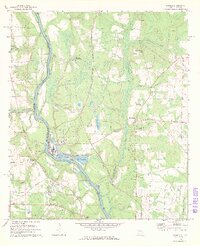
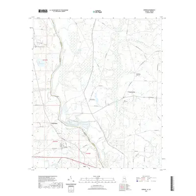
(10)- 1953 Map of Dothan, 1966 Print
 1953 Dothan1966 Print · USGSSoutheast Alabama and Southwest Georgia are captured during a period of massive hydraulic and military expansion in the mid-fifties. Genealogists and historians can trace rural landmarks like Antioch Church and School, the Andrew Jackson Monument, and the early footprint of Fort Rucker Military Reservation.3 unique versions available
 - 1954 Map of Dothan
 1954 Dothan1954 Print · USGSSoutheast Alabama and Southwest Georgia are seen here in the mid-fifties, during a decade of military expansion and rural transition. Genealogists can trace the location of country schools like Little Zion School or the grounds of Kolomoki Mounds State Park.
 - 1955 Map of Dothan
 1955 Dothan1955 Print · USGSSoutheast Alabama and Southwest Georgia are captured here in the mid-fifties, showing a landscape of river-port history and growing military bases. Researchers can trace rural life via the Andrew Jackson Monument, Bauxite mines, and the Central of Georgia RR.
 - 1970 Map of Gordon, 1972 Print
 1970 Gordon1972 Print · USGSIn the early 1970s, the river border between Alabama and Georgia balanced traditional river landings with emerging industrial infrastructure. Researchers can trace family roots through sites like St Pauls Ch and Carver Sch, or locate the Seaboard Coast Line rail corridor.3 unique versions available
 - 1981 Map of Dothan, 1982 Print
 1981 Dothan1982 Print · USGSSoutheast Alabama and the tri-state border region are shown here in the early 1980s as the area thrived on military and rail connectivity. Researchers can trace historic transit lines like the Hartford and Slocomb railroad or locate family roots in Ozark, Headland, and Geneva.
 - 2011 Map of Gordon, 2011 Print
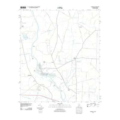 2011 Gordon2011 Print · USGSCovers Calumet, including Gordon, Liberty, and other nearby areas2 unique versions available
 - 2014 Map of Gordon, 2014 Print
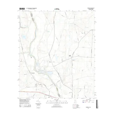 2014 Gordon2014 Print · USGSCovers Calumet, including Gordon, Liberty, and other nearby areas
 - 2018 Map of Gordon, 2018 Print
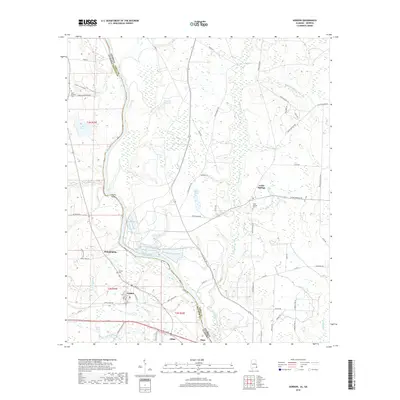 2018 Gordon2018 Print · USGSCovers Calumet, including Gordon, Liberty, and other nearby areas
 - 2020 Map of Gordon, 2020 Print
 2020 Gordon2020 Print · USGSCovers Calumet, including Gordon, Liberty, and other nearby areas
 - 2024 Map of Gordon, 2024 Print
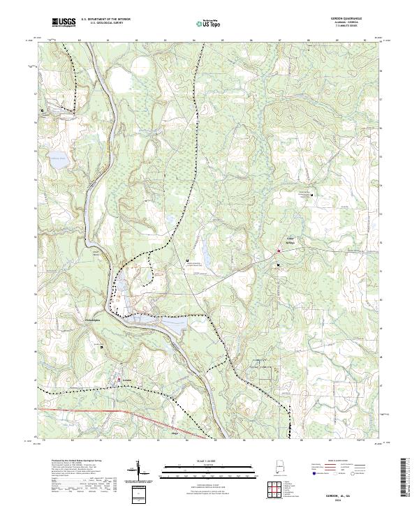 2024 Gordon2024 Print · USGSThe Alabama-Georgia borderlands along the Chattahoochee River are captured here in the early twenty-first century. Genealogists can trace family footprints through numerous rural burial sites including Gordon Cem and the Cedar Springs Cem.
End of results
Showing maps 1-10 of 10
Top cities near Calumet
- Dothan historical maps
- Headland historical maps
- Blakely historical maps
- Ashford historical maps
- Kinsey historical maps
- Cowarts historical maps
See more
Frequently asked questions
- What are the different types of historical maps available for Calumet?
- What is the oldest map of Calumet?
- Where can I purchase historical maps of Calumet for my home or office?
- Where can I download high-res historical maps of Calumet?
- Are there historical topographic maps available for Calumet?
- Is there historical aerial imagery available for Calumet?
- Where are historical maps of Calumet sourced from?