2020s Maps of Adamsville, Alabama
Explore 8 historic maps of Adamsville from the 2020s. These maps offer a rare glimpse into what life looked like during the 2020s — showing old roads, neighborhoods, homes, and landmarks that have changed or disappeared over time.
Whether you're researching your family's past, planning a metal detecting trip, or studying how Adamsville's landscape evolved across the 2020s, these high-resolution maps are a powerful tool for exploring the history of this region.
- Focus on a specific era: All maps on this page are from the 2020s, giving you a focused view of this time period.
- See what’s changed: Compare century-old streets, trails, and buildings to today's modern landscape using overlays and satellite layers.
- Research with precision: Use these maps for genealogy, historical research, land use analysis, or educational projects.
- View, download, or print: Maps are fully viewable online in high resolution, and can be downloaded or printed for your own records.
Start exploring Adamsville's history through authentic maps from the 2020s. This is your window into the past.
Adamsville, AL maps
(8)- 2020 Map of Adamsville, 2020 Print
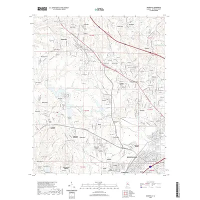 2020 Adamsville2020 Print · USGSCovers Adamsville, including Birmingham, Forestdale, and other nearby areas
 - 2020 Map of Brookside, 2020 Print
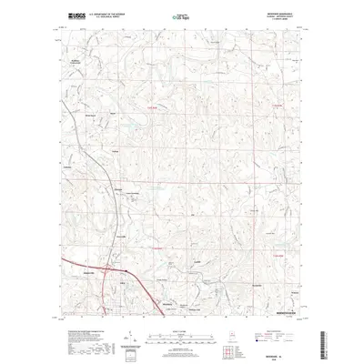 2020 Brookside2020 Print · USGSCovers Adamsville, including Graysville, Brookside, and other nearby areas
 - 2020 Map of Sylvan Springs, 2020 Print
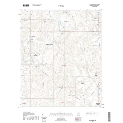 2020 Sylvan Springs2020 Print · USGSCovers Adamsville, including Birmingham, Pleasant Grove, and other nearby areas
 - 2020 Map of Dora, 2020 Print
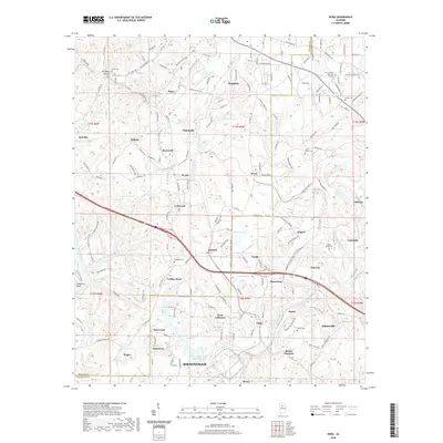 2020 Dora2020 Print · USGSCovers Adamsville, including Birmingham, Sumiton, and other nearby areas
 - 2024 Map of Adamsville, 2024 Print
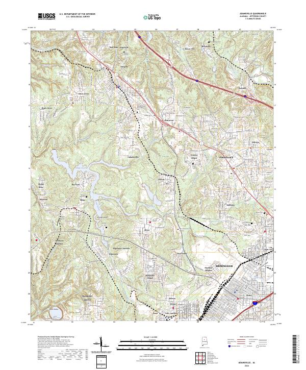 2024 Adamsville2024 Print · USGSNorthwest of Birmingham in the 2020s, this area shows a complex landscape of mining towns and suburban growth. Trace the history of the Jefferson County coalfields through landmarks like Mulga Mine, Crockard Junction, and family burial grounds like Roberts Cem.
 - 2024 Map of Brookside, 2024 Print
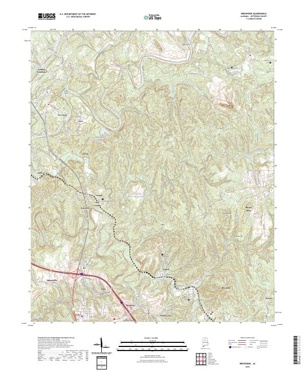 2024 Brookside2024 Print · USGSJefferson County's mining and river heritage is evident in this contemporary survey of the area northwest of Birmingham. Trace historical river crossings at Short Ferry and Loller Ferry or locate family sites like Odom Nail Cem and Linn Cem.
 - 2024 Map of Sylvan Springs, 2024 Print
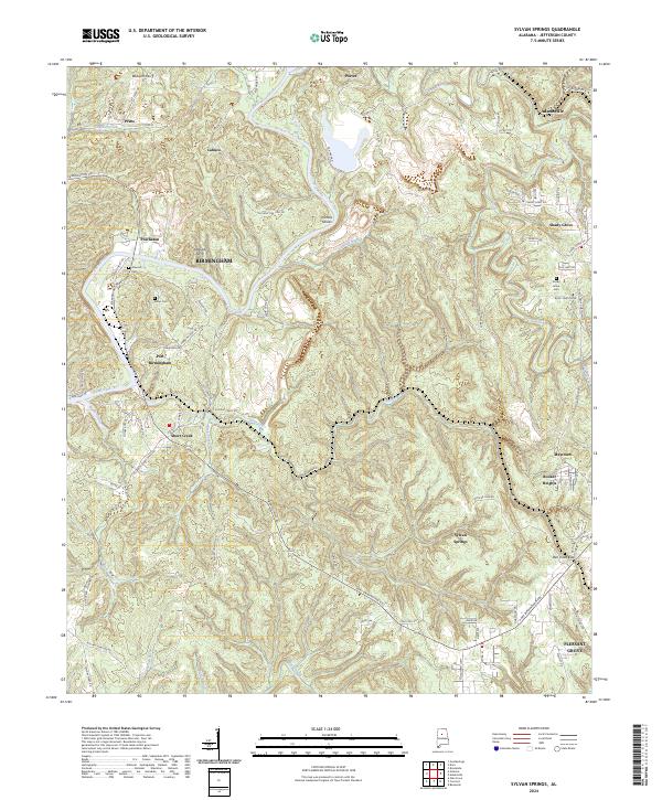 2024 Sylvan Springs2024 Print · USGSJefferson County's western ridges and river bends come to life in this modern topographic study of central Alabama. Researchers can trace the legacy of river crossings and small communities through labels like Williams Ferry, Port Birmingham, and the Atwood Cem.
 - 2024 Map of Dora, 2024 Print
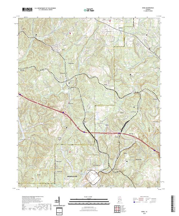 2024 Dora2024 Print · USGSThe river forks of Walker and Jefferson counties are documented here in the early 2020s, showing a landscape defined by historic crossings and industry. Researchers can trace local genealogy at Shanghai Cem or locate old river landmarks like Littleton Ferry and Butlers Ferry.
End of results
Showing maps 1-8 of 8
Top cities near Adamsville
- Birmingham historical maps
- Hoover historical maps
- Hoover historical maps
- Vestavia Hills historical maps
- Homewood historical maps
- Bessemer historical maps
See more
Top neighborhoods of Adamsville
- Flat Top historical maps
- Grays Gardens historical maps
- Oakwood historical maps
- Glasgow historical maps
- Longview Estates historical maps
- Longview Mobile Home Park historical maps
See more
Frequently asked questions
- What are the different types of historical maps available for Adamsville?
- What is the oldest map of Adamsville?
- Where can I purchase historical maps of Adamsville for my home or office?
- Where can I download high-res historical maps of Adamsville?
- Are there historical topographic maps available for Adamsville?
- Is there historical aerial imagery available for Adamsville?
- Where are historical maps of Adamsville sourced from?