2020s Maps of Gardendale, Alabama
Explore 9 historic maps of Gardendale from the 2020s. These maps offer a rare glimpse into what life looked like during the 2020s — showing old roads, neighborhoods, homes, and landmarks that have changed or disappeared over time.
Whether you're researching your family's past, planning a metal detecting trip, or studying how Gardendale's landscape evolved across the 2020s, these high-resolution maps are a powerful tool for exploring the history of this region.
- Focus on a specific era: All maps on this page are from the 2020s, giving you a focused view of this time period.
- See what’s changed: Compare century-old streets, trails, and buildings to today's modern landscape using overlays and satellite layers.
- Research with precision: Use these maps for genealogy, historical research, land use analysis, or educational projects.
- View, download, or print: Maps are fully viewable online in high resolution, and can be downloaded or printed for your own records.
Start exploring Gardendale's history through authentic maps from the 2020s. This is your window into the past.
Gardendale, AL maps
(9)- 2020 Map of Pinson, 2020 Print
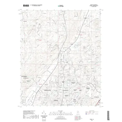 2020 Pinson2020 Print · USGSCovers Gardendale, including Birmingham, Trussville, and other nearby areas
 - 2020 Map of Gardendale, 2020 Print
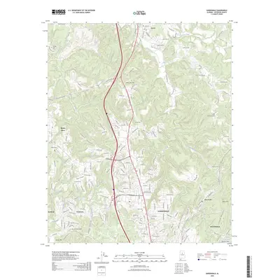
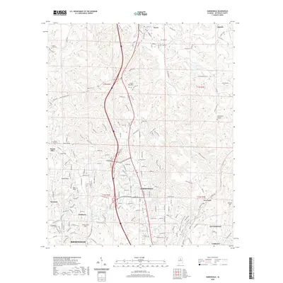 2020 Gardendale2020 Print · USGSCovers Gardendale, including Birmingham, Fultondale, and other nearby areas
 - 2020 Map of Birmingham North, 2020 Print
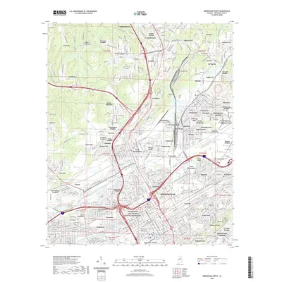 2020 Birmingham North2020 Print · USGSCovers Gardendale, including Birmingham, Mountain Brook, and other nearby areas
 - 2024 Map of Birmingham North, 2024 Print
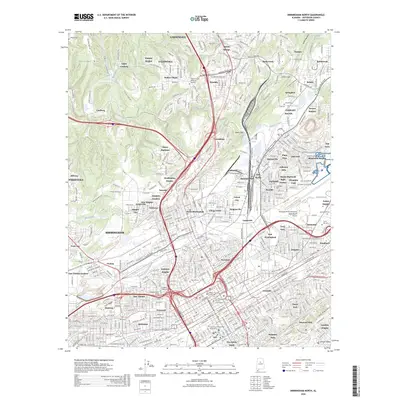
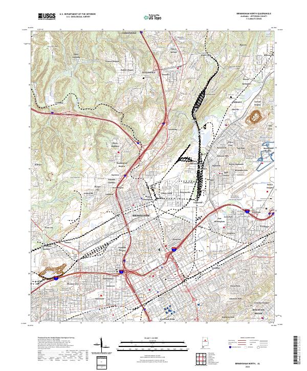 2024 Birmingham North2024 Print · USGSJefferson County’s industrial core is captured here in the mid-2020s, showing the dense neighborhood fabric from Gardendale to Tarrant Heights. Researchers can trace urban development alongside legacy landmarks like Sayreton and the Birmingham Civil Rights National Monument.
 - 2024 Map of Gardendale, 2024 Print
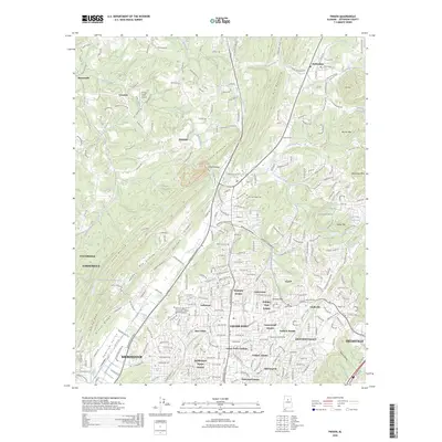
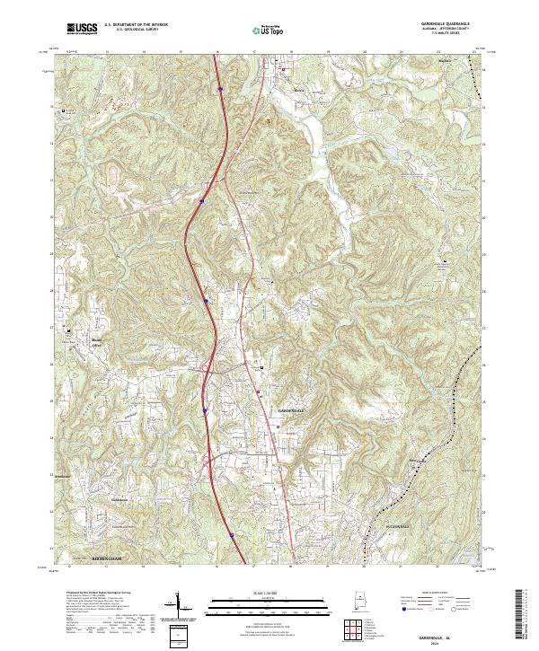 2024 Gardendale2024 Print · USGSGardendale and the northern Birmingham suburbs are documented here during a period of steady growth along the ridgelines. Researchers can trace local heritage through numerous family and community landmarks, including Edwards Cem, Mount Olive Cem, and the high point of Yellow Bird Mtn.
 - 2024 Map of Pinson, 2024 Print
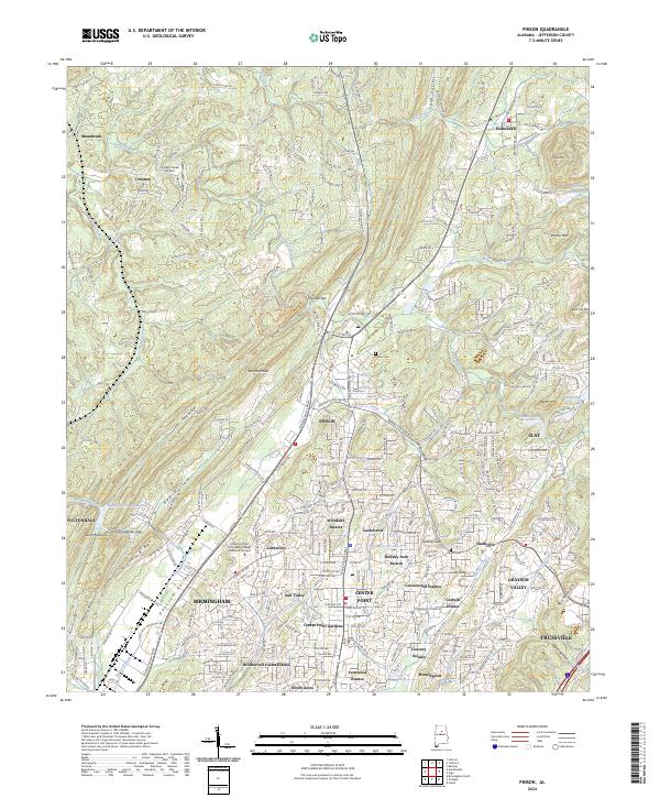 2024 Pinson2024 Print · USGSNortheast Jefferson County at the modern peak of its development shows a complex network of suburban neighborhoods and industrial corridors. Researchers can trace local heritage through landmarks like Sharon Church, the Pinson Cem, and the path of the Pinson Valley Pkwy.
 - 2026 Map of Birmingham North, 2026 Print
 2026 Birmingham North2026 Print · USGSCovers Gardendale, including Birmingham, Mountain Brook, and other nearby areas
 - 2026 Map of Gardendale, 2026 Print
 2026 Gardendale2026 Print · USGSCovers Gardendale, including Birmingham, Fultondale, and other nearby areas
 - 2026 Map of Pinson, 2026 Print
 2026 Pinson2026 Print · USGSCovers Gardendale, including Birmingham, Trussville, and other nearby areas
End of results
Showing maps 1-9 of 9
Top cities near Gardendale
- Birmingham historical maps
- Hoover historical maps
- Vestavia Hills historical maps
- Homewood historical maps
- Trussville historical maps
- Mountain Brook historical maps
See more
Top neighborhoods of Gardendale
Frequently asked questions
- What are the different types of historical maps available for Gardendale?
- What is the oldest map of Gardendale?
- Where can I purchase historical maps of Gardendale for my home or office?
- Where can I download high-res historical maps of Gardendale?
- Are there historical topographic maps available for Gardendale?
- Is there historical aerial imagery available for Gardendale?
- Where are historical maps of Gardendale sourced from?