2000s (21st Century) Maps of Irondale, Alabama
Explore 15 historic maps of Irondale from the 2000s (21st Century). These maps offer a rare glimpse into what life looked like during the 2000s — showing old roads, neighborhoods, homes, and landmarks that have changed or disappeared over time.
Whether you're researching your family's past, planning a metal detecting trip, or studying how Irondale's landscape evolved across the 2000s, these high-resolution maps are a powerful tool for exploring the history of this region.
- Focus on a specific era: All maps on this page are from the 2000s, giving you a focused view of this time period.
- See what’s changed: Compare century-old streets, trails, and buildings to today's modern landscape using overlays and satellite layers.
- Research with precision: Use these maps for genealogy, historical research, land use analysis, or educational projects.
- View, download, or print: Maps are fully viewable online in high resolution, and can be downloaded or printed for your own records.
Start exploring Irondale's history through authentic maps from the 2000s. This is your window into the past.
Irondale, AL maps
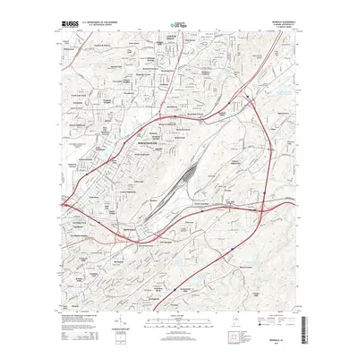
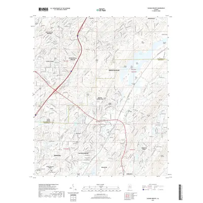
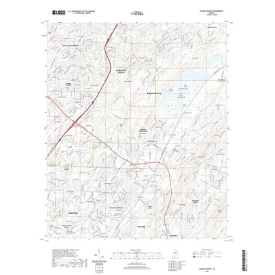
(15)- 2011 Map of Irondale, 2011 Print
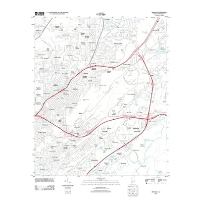 2011 Irondale2011 Print · USGSCovers Irondale, including Birmingham, Vestavia Hills, and other nearby areas
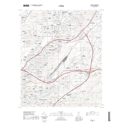
 - 2011 Map of Cahaba Heights, 2011 Print
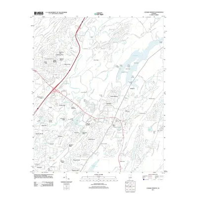 2011 Cahaba Heights2011 Print · USGSCovers Irondale, including Birmingham, Hoover, and other nearby areas
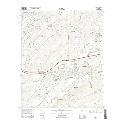
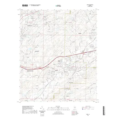
 - 2011 Map of Leeds, 2011 Print
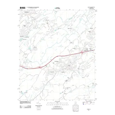 2011 Leeds2011 Print · USGSCovers Irondale, including Birmingham, Trussville, and other nearby areas
 - 2014 Map of Cahaba Heights, 2014 Print
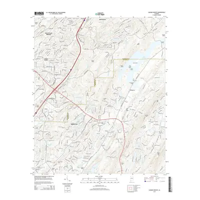 2014 Cahaba Heights2014 Print · USGSCovers Irondale, including Birmingham, Hoover, and other nearby areas
 - 2014 Map of Irondale, 2014 Print
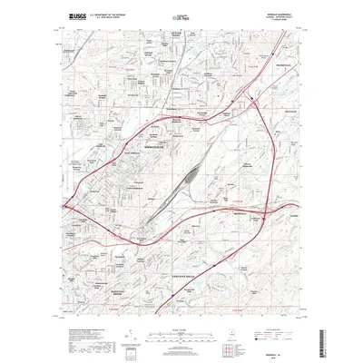
 2014 Irondale2014 Print · USGSCovers Irondale, including Birmingham, Vestavia Hills, and other nearby areas
 - 2014 Map of Leeds, 2014 Print
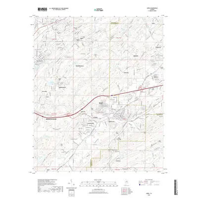
 2014 Leeds2014 Print · USGSCovers Irondale, including Birmingham, Trussville, and other nearby areas
 - 2018 Map of Leeds, 2018 Print
 2018 Leeds2018 Print · USGSCovers Irondale, including Birmingham, Trussville, and other nearby areas
 - 2018 Map of Irondale, 2018 Print
 2018 Irondale2018 Print · USGSCovers Irondale, including Birmingham, Vestavia Hills, and other nearby areas
 - 2018 Map of Cahaba Heights, 2018 Print
 2018 Cahaba Heights2018 Print · USGSCovers Irondale, including Birmingham, Hoover, and other nearby areas
 - 2020 Map of Leeds, 2020 Print
 2020 Leeds2020 Print · USGSCovers Irondale, including Birmingham, Trussville, and other nearby areas
 - 2020 Map of Irondale, 2020 Print
 2020 Irondale2020 Print · USGSCovers Irondale, including Birmingham, Vestavia Hills, and other nearby areas
 - 2020 Map of Cahaba Heights, 2020 Print
 2020 Cahaba Heights2020 Print · USGSCovers Irondale, including Birmingham, Hoover, and other nearby areas
 - 2024 Map of Leeds, 2024 Print
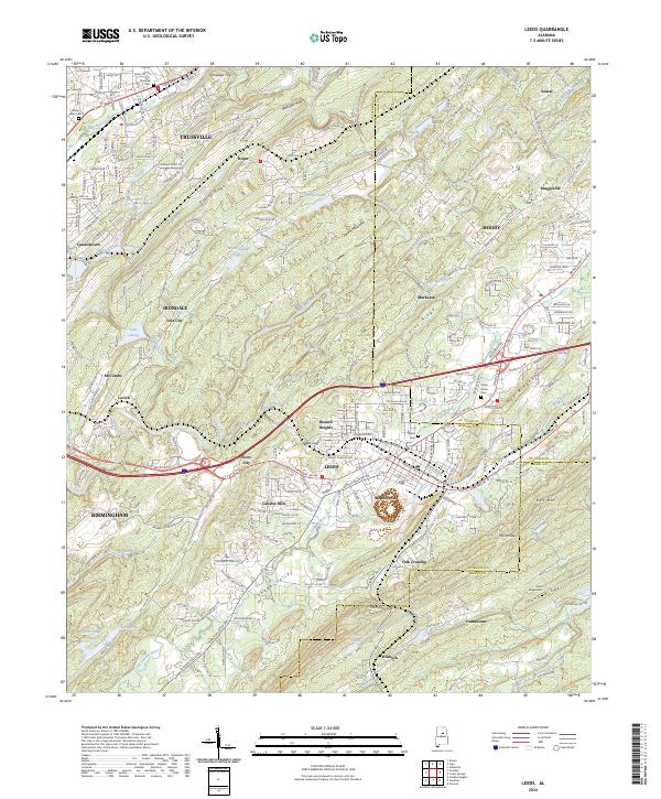 2024 Leeds2024 Print · USGSEastern Jefferson County is shown at its modern peak in this 2024 map. Genealogists and researchers can trace family landmarks and local transitions near Leeds and Trussville, including the Trussville Cem and Cedar Grove Cem.
 - 2024 Map of Cahaba Heights, 2024 Print
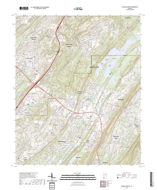 2024 Cahaba Heights2024 Print · USGSSuburban Birmingham and the Cahaba River valley are shown here in the mid-2020s, highlighting the ridge-and-valley landscape of Shelby and Jefferson counties. Researchers can locate numerous family burial sites like Wise Cem and McDaniel Cem, or trace the winding Old Florida Short Rte.
 - 2024 Map of Irondale, 2024 Print
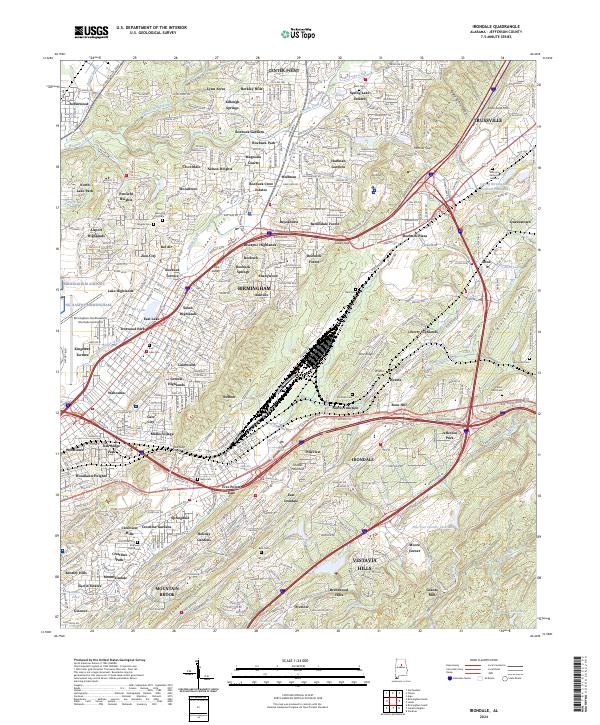 2024 Irondale2024 Print · USGSThe Jefferson County suburbs and industrial corridors east of Birmingham are shown here in recent detail. Researchers can trace historic family burial sites like Higgins Cem and Bush Cem or explore established neighborhoods from Lake Highlands to Biscayne Highlands.
End of results
Showing maps 1-15 of 15
Top cities near Irondale
- Birmingham historical maps
- Hoover historical maps
- Hoover historical maps
- Vestavia Hills historical maps
- Homewood historical maps
- Trussville historical maps
See more
Top neighborhoods of Irondale
- East Irondale historical maps
- Ruffner historical maps
- Brentwood Hills historical maps
- Lola City historical maps
- Lovick historical maps
- Queenstown historical maps
See more
Frequently asked questions
- What are the different types of historical maps available for Irondale?
- What is the oldest map of Irondale?
- Where can I purchase historical maps of Irondale for my home or office?
- Where can I download high-res historical maps of Irondale?
- Are there historical topographic maps available for Irondale?
- Is there historical aerial imagery available for Irondale?
- Where are historical maps of Irondale sourced from?