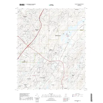
2018 Map of Cahaba Heights
USGS Topo · Published 2018About this map
The Cahaba River winds through the heart of this suburban Jefferson and Shelby County landscape, shaping the development of Mountain Brook, Vestavia Hills, and Cahaba Heights. The expansion of the metropolitan Birmingham area is evident in the dense residential networks of Meadowbrook and Highland Lakes, yet historical remnants of the earlier rural character persist. Long-standing local landmarks like the Old Iron Bridge near Brook Highland and several family-named cemeteries, such as Wise Cem and Harris Cem, provide clear links to the area's genealogical past.
Find a feature on this map
80 named features on this map. Tap any name to fly to it.
Don’t see what you’re looking for? This feature index may not catch every label — zoom into the map to look around manually.
Map Details
Editions of this 2018 Cahaba Heights Map
This is the sole edition of this map. No revisions or reprints were ever made.
Other maps of this area

1889 · Birmingham
USGS Topo · 1:125,000

1890 · Bessemer
USGS Topo · 1:125,000

1892 · Birmingham
USGS Topo · 1:125,000

1892 · Bessemer
USGS Topo · 1:125,000

1895 · Birmingham
USGS Topo · 1:125,000

1904 · Birmingham Coal District
USGS Topo · 1:62,500

1905 · Bessemer Iron District
USGS Topo · 1:62,500

1905 · Leeds
USGS Topo · 1:62,500

1906 · Birmingham Special
USGS Topo · 1:62,500

1906 · Vandiver
USGS Topo · 1:62,500