
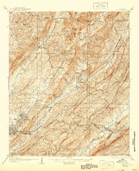
1905 Map of Leeds
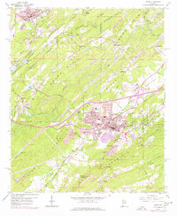
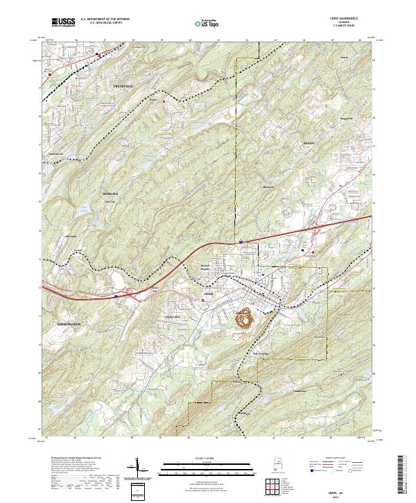
USGS Topo · Published 1956About this map
West Red Mountain and Opossum Valley form the backbone of this topographic study, where industrial ambitions intersect with early twentieth-century Alabama settlement. The presence of the Lucy Duke Furnace and the Alfretta Mines near Morrow Gap signals the region's mineral wealth, specifically the iron ore and coal driving the growth of the nearby Birmingham district. This landscape is a dense network of competing rail lines, including the Louisville and Nashville Railroad and the Seaboard Air Line Railway, which connect established hubs like Leeds and Trussville to rural outposts such as Chalkville and Argo Station.
Find a feature on this map
102 named features on this map. Tap any name to fly to it.
Don’t see what you’re looking for? This feature index may not catch every label — zoom into the map to look around manually.
Map Details
Editions of this 1905 Leeds Map
This is the sole edition of this map. No revisions or reprints were ever made.
Historical Maps of Birmingham Through Time
10 maps found
1905 Leeds
Jefferson County, AL
1907 Leeds
Jefferson County, AL
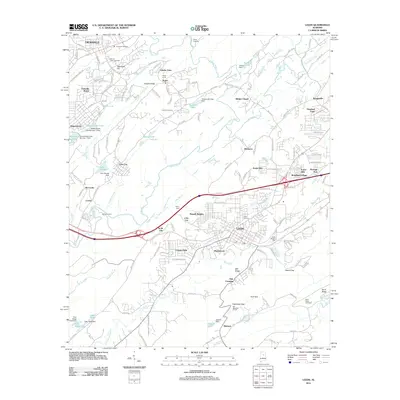
1959 Leeds
Jefferson County, AL
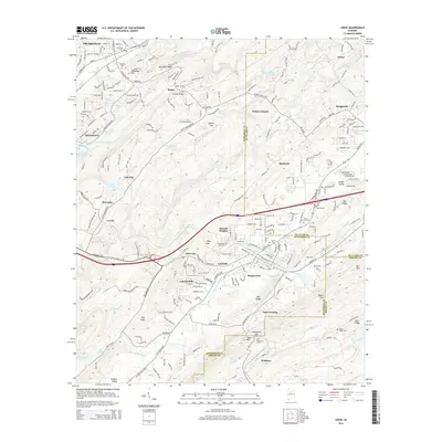
1975 Leeds
Jefferson County, AL
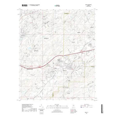
1998 Leeds
Jefferson County, AL
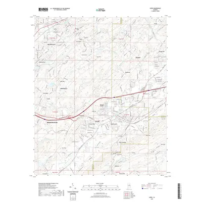
2011 Leeds
Jefferson County, AL
2014 Leeds
Jefferson County, AL
2018 Leeds
Jefferson County, AL
2020 Leeds
Jefferson County, AL
2024 Leeds
Jefferson County, AL