Loading...
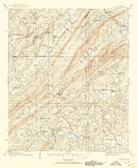
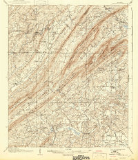
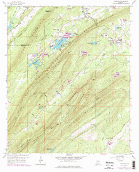
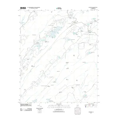
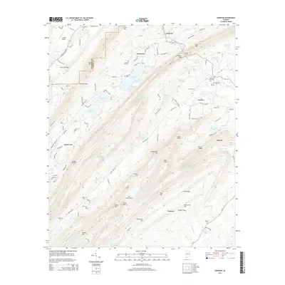
Loading map...1906 Map of Vandiver
USGS Topo · Published 1954About this map
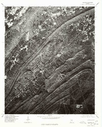
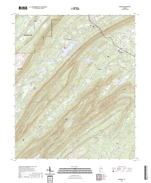
High ridges and narrow water gaps dominate the landscape in this 1906 survey of Shelby and Jefferson counties. The Central of Georgia railroad traverses the northern reaches, piercing through Coosa Mountain via the Coosa Mountain Tunnel near the settlement of Dunnavant. To the west, the Cahaba River flows past the Cahaba Pumping Station, while numerous mills and schools dot the lower valleys.
Find a feature on this map
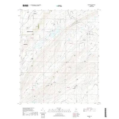
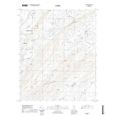
112 named features on this map. Tap any name to fly to it.
Don’t see what you’re looking for? This feature index may not catch every label — zoom into the map to look around manually.
Map Details
Date Portrayed1906
Date Published1954
PublisherU.S. Geological Survey
Map TypeTopographic
Scale1:62,500
Physical Dimensions16.9 x 20.6 inches
Editions of this 1906 Vandiver Map
This is the sole edition of this map. No revisions or reprints were ever made.
Historical Maps of Birmingham Through Time
9 maps found
Featured Locations
Source Details
SourceU.S. Geological Survey
CopyrightPublic Domain