Old Maps of Kennedy, Alabama for Academic Research
Study the evolution of Kennedy with 21 high-resolution historic maps. Whether you're teaching, researching, or modeling changes in land use, these maps provide essential visual documentation of urban, environmental, and geographic change.
- Analyze long-term change: Track patterns in development, transportation, and natural features.
- Ideal for environmental or urban studies: Support academic projects with primary historical map data.
- Use in the classroom or lab: Educators and researchers rely on these maps to bring historical context to life.
These maps are a powerful tool for teaching, research, and visualizing how Kennedy has changed over the decades.
Kennedy, AL maps
(21)- 1953 Map of Birmingham, 1964 Print
 1953 Birmingham1964 Print · USGSCentral Alabama at mid-century shows a landscape defined by industrial expansion and the iron-rich ridges surrounding Birmingham. Researchers can trace the extensive rail networks of the L & N RR or locate historic federal sites like the Anniston Ordnance Depot.4 unique versions available
 - 1953 Map of West Point, 1973 Print
 1953 West Point1973 Print · USGSNorth-Central Mississippi and the Alabama borderlands are captured here during the mid-twentieth century as new reservoirs and national forests transformed the landscape. Researchers can trace the path of the Mississippi & Skuna Valley railroad or locate old landings along the Tombigbee River and Schooner Creek.3 unique versions available
 - 1956 Map of Birmingham
 1956 Birmingham1956 Print · USGSCentral Alabama in the mid-fifties exhibits a landscape of growing cities and deep-rooted industrial corridors. Genealogists and historians can trace the development of suburban Mountain Brook or locate regional hubs like Sylacauga and Jasper.
 - 1957 Map of Birmingham
 1957 Birmingham1957 Print · USGSNorth-Central Alabama in the mid-fifties is an industrial powerhouse centered on the steel valleys and sprawling iron ridges. Genealogists and historians can trace the rail-linked growth of Birmingham and Tuscaloosa, or locate rural landmarks like Talladega College and the Anniston Ordnance Depot.
 - 1958 Map of West Point
 1958 West Point1958 Print · USGSNortheastern Mississippi and western Alabama are shown in the late 1950s, highlighting a region defined by its river-and-rail economy. Researchers can trace family roots through numerous settlements like Artesia and Vardaman or explore the corridor of the Tombigbee River.
 - 1963 Map of West Point
 1963 West Point1963 Print · USGSEastern Mississippi and western Alabama are captured in the early sixties as industrial centers and rail lines connected the Black Prairie to the hills. Genealogists and historians can trace family-named watercourses and the early footprints of Starkville, Columbus, and the Noxubee National Wildlife Refuge.2 unique versions available
 - 1967 Map of Kennedy, 1968 Print
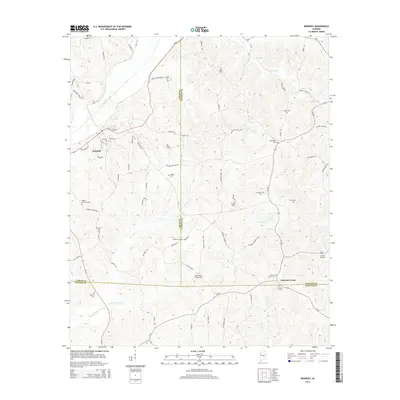
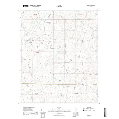
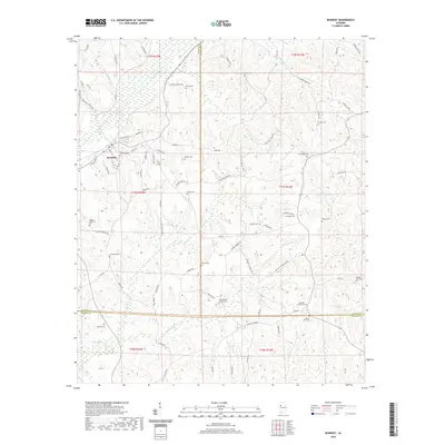
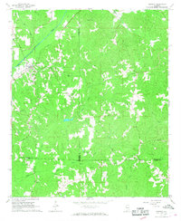 1967 Kennedy1968 Print · USGSKennedy and the rural borderlands of Lamar, Fayette, and Pickens Counties are captured here in the late sixties as the SOUTHERN railroad still linked these upland communities. Genealogists can locate family landmarks like Moore Cem and Owens Cem or trace rural congregations at Wesley Chapel and Ashcraft Ch.2 unique versions available
 - 1967 Map of Millport, 1968 Print
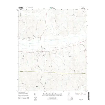
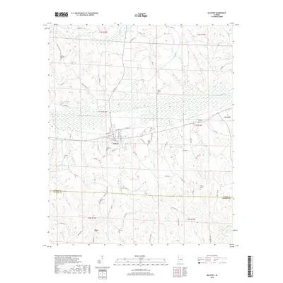
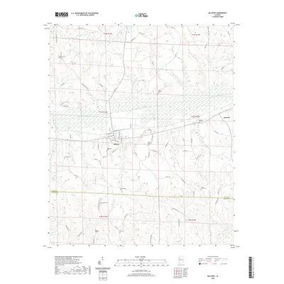
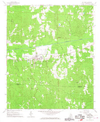 1967 Millport1968 Print · USGSMillport and the surrounding Lamar County countryside are captured here in the late sixties, showing a landscape defined by the Southern railroad and small-town commerce. Genealogists can trace family roots through numerous local landmarks like Oddfellows Cem, Holly Grove Sch, and Macedonia Ch.2 unique versions available
 - 1982 Map of West Point, 1983 Print
 1982 West Point1983 Print · USGSEastern Mississippi and western Alabama are captured in the early eighties as the river-and-rail economy evolved. Trace family roots and old township lines near West Point, Columbus Air Force Base, and the historic Natchez Trace Parkway.
 - 1984 Map of West Point
 1984 West Point1984 Print · USGSNorth-Central Mississippi in the mid-eighties shows a landscape defined by massive water management projects and dense timberlands. Researchers can trace the legacy of rural settlements like Geeslin Corner or the rail corridors of the Illinois Central Gulf RR near Grenada Lake.3 unique versions available
 - 1984 Map of Jasper, 1985 Print
 1984 Jasper1985 Print · USGSIn the mid-1980s, the Walker County coalfields were a complex web of rail lines and river terminals. Researchers can trace the industrial heritage of the Mulberry Fork and locate local landmarks like the Carbon Hill National Fish Hatchery or Saragossa Ch.2 unique versions available
 - 2011 Map of Kennedy, 2011 Print
 2011 Kennedy2011 Print · USGSCovers Kennedy, including Ashcraft Corner, Pickens County, and other nearby areas
 - 2011 Map of Millport, 2011 Print
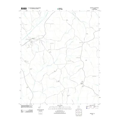
 2011 Millport2011 Print · USGSCovers Kennedy, including Millport, Shaw, and other nearby areas
 - 2014 Map of Kennedy, 2014 Print
 2014 Kennedy2014 Print · USGSCovers Kennedy, including Ashcraft Corner, Pickens County, and other nearby areas
 - 2014 Map of Millport, 2014 Print
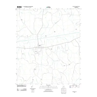
 2014 Millport2014 Print · USGSCovers Kennedy, including Millport, Shaw, and other nearby areas
 - 2018 Map of Millport, 2018 Print
 2018 Millport2018 Print · USGSCovers Kennedy, including Millport, Shaw, and other nearby areas
 - 2018 Map of Kennedy, 2018 Print
 2018 Kennedy2018 Print · USGSCovers Kennedy, including Ashcraft Corner, Pickens County, and other nearby areas
 - 2020 Map of Millport, 2020 Print
 2020 Millport2020 Print · USGSCovers Kennedy, including Millport, Shaw, and other nearby areas
 - 2020 Map of Kennedy, 2020 Print
 2020 Kennedy2020 Print · USGSCovers Kennedy, including Ashcraft Corner, Pickens County, and other nearby areas
 - 2024 Map of Millport, 2024 Print
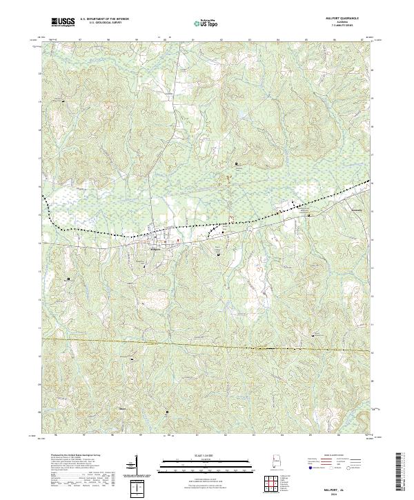 2024 Millport2024 Print · USGSLamar County and the edge of Pickens County are captured here in a contemporary survey of Alabama's western hills and valleys. Family historians can trace local roots through numerous rural landmarks like Oddfellows Cem, Macedonia Ch, and the rail corridor of the Luxapallila Valley RR.
 - 2024 Map of Kennedy, 2024 Print
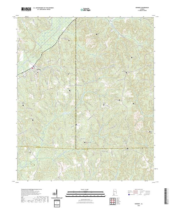 2024 Kennedy2024 Print · USGSKennedy and its surrounding rural landscapes in West Alabama come alive through this detailed survey of Lamar and Fayette Counties. Family researchers can trace deep local roots at Kennedy Cem, Mount Zion Cem, and Wilson Cem.
End of results
Showing maps 1-21 of 21
Top cities near Kennedy
- Fayette historical maps
- Vernon historical maps
- Reform historical maps
- Millport historical maps
- Belk historical maps
- Ethelsville historical maps
Frequently asked questions
- What are the different types of historical maps available for Kennedy?
- What is the oldest map of Kennedy?
- Where can I purchase historical maps of Kennedy for my home or office?
- Where can I download high-res historical maps of Kennedy?
- Are there historical topographic maps available for Kennedy?
- Is there historical aerial imagery available for Kennedy?
- Where are historical maps of Kennedy sourced from?