Old Maps of Dart, Alabama
Explore 14 old maps of Dart, spanning from 1924 to today. These high-resolution historic maps reveal how streets, neighborhoods, landmarks, and natural features evolved over time — perfect for genealogy, metal detecting, research, and local history exploration.
What you can do with these maps:
- See how Dart changed over time: Compare historical maps to modern-day views to trace roads, homesites, rail lines & more.
- View detailed metadata: Each map includes creators, publishers, year, scale, and archive source.
- Overlay maps with satellite & LiDAR: Visualize the past alongside modern tools to explore terrain & human change.
- Trusted historical sources: Maps sourced from the USGS, Library of Congress, and other archives.
- Access maps your way: View online, download high-res files, or order prints for personal or research use.
Start exploring old maps of Dart to uncover forgotten places, hidden landmarks, and the deep history beneath your feet.
Dart, AL maps
(14)- 1924 Map of Gravelly Springs
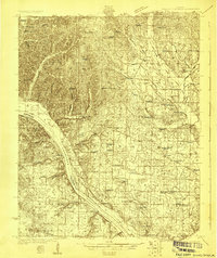 1924 Gravelly Springs1924 Print · USGSLauderdale County at the edge of the Tennessee River reveals a vibrant rural society in the mid-twenties, centered on the river and the rail line. Researchers can trace the heritage of vanished landmarks like Lyle Academy, the Colbert Shoals Canal, and the Oakland School (Colored).2 unique versions available
 - 1926 Map of Gravelly Springs
 1926 Gravelly Springs1926 Print · USGSNorthwest Alabama is seen here in the mid-twenties, when the river and rail lines dictated the rhythm of Lauderdale and Colbert counties. Genealogists can locate family landmarks like Lyle Academy, Youngs Store, and the Colbert Shoals Canal.2 unique versions available
 - 1935 Map of Wright
 1935 Wright1935 Print · USGSLauderdale County and the Tennessee River are shown here in the mid-1930s during the early development of the Tennessee Valley Authority. Genealogists can trace early landmarks such as Williams Chapel, Youngs Store, and the historic Nathez Trace.
 - 1953 Map of Wright, 1958 Print
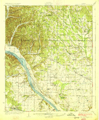
 1953 Wright1958 Print · USGSLauderdale County's southern border met the waters of the Tennessee River in the early fifties, following the creation of Pickwick Lake. Genealogists can trace family landmarks through the numerous hollows and country churches like Oak Grove Ch and Murphy Chapel.3 unique versions available
 - 1956 Map of Gadsden, 1966 Print
 1956 Gadsden1966 Print · USGSNorth Alabama in the mid-1950s shows a region transformed by river engineering and federal industry. Genealogists and local historians can trace the development of the Tennessee Valley through the growth of Huntsville, the sprawling Redstone Arsenal, and the expansive Guntersville Lake.3 unique versions available
 - 1958 Map of Gadsden
 1958 Gadsden1958 Print · USGSNorth Alabama comes alive in the late 1950s as the Tennessee Valley Authority’s massive river projects and the rise of the space industry reshaped the landscape. Researchers can trace the mid-century footprints of Huntsville, Redstone Arsenal, and the riverside rail networks of the Southern railroad.
 - 1960 Map of Gadsden
 1960 Gadsden1960 Print · USGSNorthern Alabama in the mid-1950s is defined by the mighty Tennessee River and its massive reservoirs. Trace the development of Huntsville and Redstone Arsenal or explore the vast William B Bankhead National Forest.2 unique versions available
 - 1963 Map of Gadsden
 1963 Gadsden1963 Print · USGSNorthern Alabama underwent a dramatic mid-century transformation as the Tennessee Valley became a hub for defense and industry. Researchers can trace the development of the Redstone Arsenal, the route of the Natchez Trace Parkway, and long-standing rail lines like the Southern Railway.
 - 1986 Map of Tuscumbia
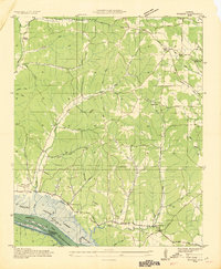
 1986 Tuscumbia1986 Print · USGSThe Tennessee River valley in the mid-1980s shows a landscape transformed by massive reservoirs and industrial hubs. Genealogists and local historians can trace the development of the Shoals area and locate rural communities like Tharp Town, Leighton, and Rogersville.3 unique versions available
 - 2011 Map of Wright, 2011 Print
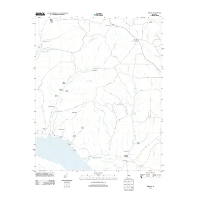 2011 Wright2011 Print · USGSCovers Dart, including Gravelly Springs, Murphy Cross Roads, and other nearby areas
 - 2014 Map of Wright, 2014 Print
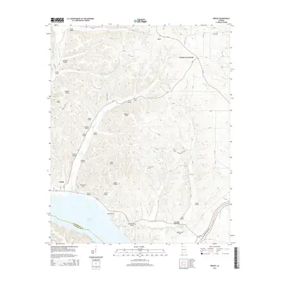 2014 Wright2014 Print · USGSCovers Dart, including Gravelly Springs, Murphy Cross Roads, and other nearby areas
 - 2018 Map of Wright, 2018 Print
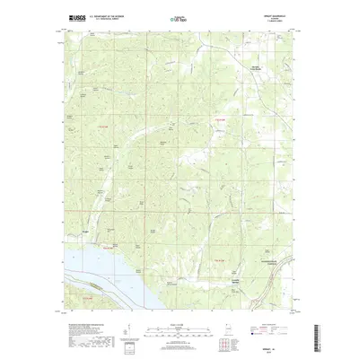 2018 Wright2018 Print · USGSCovers Dart, including Gravelly Springs, Murphy Cross Roads, and other nearby areas
 - 2020 Map of Wright, 2020 Print
 2020 Wright2020 Print · USGSCovers Dart, including Gravelly Springs, Murphy Cross Roads, and other nearby areas
 - 2024 Map of Wright, 2024 Print
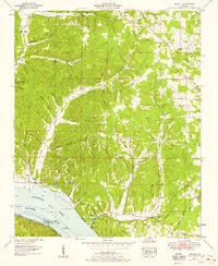
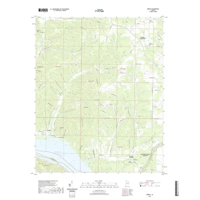
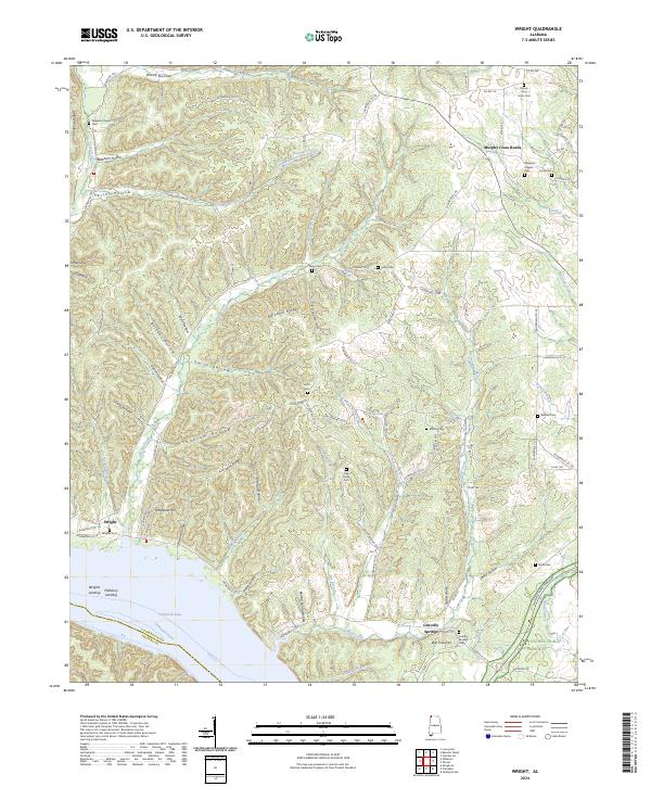 2024 Wright2024 Print · USGSThe Tennessee River shoreline in Lauderdale County comes into focus in the 2020s, showing the intersection of Pickwick Lake and the hill country. Genealogists can locate numerous burial sites like Gravelly Springs Cem and Wrights Cem.
End of results
Showing maps 1-14 of 14
Top cities near Dart
- Florence historical maps
- Sheffield historical maps
- Underwood-Petersville historical maps
- Collinwood historical maps
- Cherokee historical maps
- Waterloo historical maps
Frequently asked questions
- What are the different types of historical maps available for Dart?
- What is the oldest map of Dart?
- Where can I purchase historical maps of Dart for my home or office?
- Where can I download high-res historical maps of Dart?
- Are there historical topographic maps available for Dart?
- Is there historical aerial imagery available for Dart?
- Where are historical maps of Dart sourced from?