2000s (21st Century) Maps of Oak Hill, Florence
Explore 10 historic maps of Oak Hill from the 2000s (21st Century). These maps offer a rare glimpse into what life looked like during the 2000s — showing old roads, neighborhoods, homes, and landmarks that have changed or disappeared over time.
Whether you're researching your family's past, planning a metal detecting trip, or studying how Oak Hill's landscape evolved across the 2000s, these high-resolution maps are a powerful tool for exploring the history of this region.
- Focus on a specific era: All maps on this page are from the 2000s, giving you a focused view of this time period.
- See what’s changed: Compare century-old streets, trails, and buildings to today's modern landscape using overlays and satellite layers.
- Research with precision: Use these maps for genealogy, historical research, land use analysis, or educational projects.
- View, download, or print: Maps are fully viewable online in high resolution, and can be downloaded or printed for your own records.
Start exploring Oak Hill's history through authentic maps from the 2000s. This is your window into the past.
Oak Hill, Florence maps
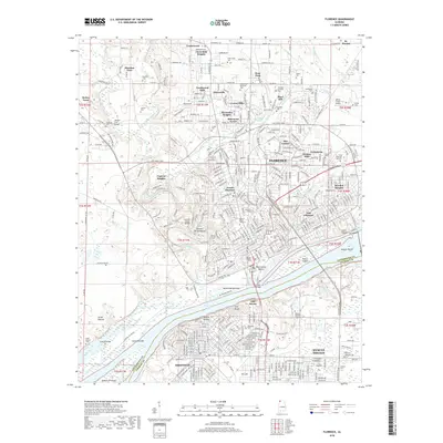
(10)- 2011 Map of Florence, 2011 Print
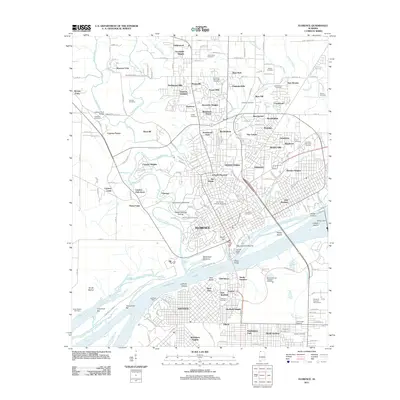 2011 Florence2011 Print · USGSCovers Oak Hill, including Florence, Muscle Shoals, and other nearby areas
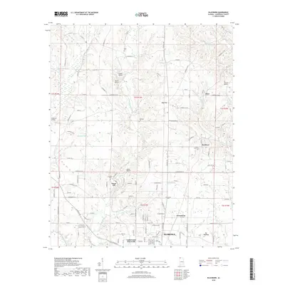
 - 2011 Map of Blackburn, 2011 Print
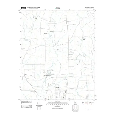 2011 Blackburn2011 Print · USGSCovers Oak Hill, including Florence, Underwood-Petersville, and other nearby areas
 - 2014 Map of Blackburn, 2014 Print
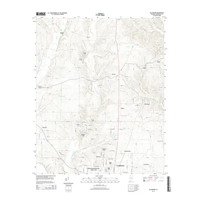 2014 Blackburn2014 Print · USGSCovers Oak Hill, including Florence, Underwood-Petersville, and other nearby areas
 - 2014 Map of Florence, 2014 Print
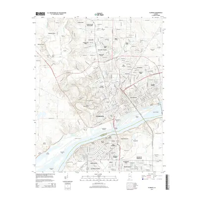 2014 Florence2014 Print · USGSCovers Oak Hill, including Florence, Muscle Shoals, and other nearby areas
 - 2018 Map of Blackburn, 2018 Print
 2018 Blackburn2018 Print · USGSCovers Oak Hill, including Florence, Underwood-Petersville, and other nearby areas
 - 2018 Map of Florence, 2018 Print
 2018 Florence2018 Print · USGSCovers Oak Hill, including Florence, Muscle Shoals, and other nearby areas
 - 2020 Map of Blackburn, 2020 Print
 2020 Blackburn2020 Print · USGSCovers Oak Hill, including Florence, Underwood-Petersville, and other nearby areas
 - 2021 Map of Florence, 2021 Print
 2021 Florence2021 Print · USGSCovers Oak Hill, including Florence, Muscle Shoals, and other nearby areas
 - 2024 Map of Blackburn, 2024 Print
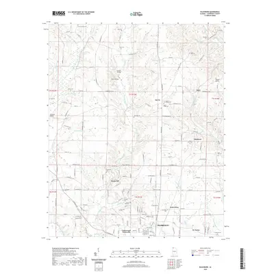
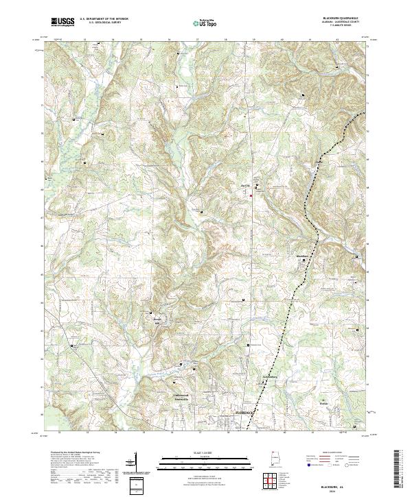 2024 Blackburn2024 Print · USGSIn the uplands north of Florence, this modern survey reveals a landscape still defined by its traditional rural settlements and family landmarks. Genealogists can locate dozens of historic burial sites such as Bethel Berry Cem and Mount Tabor Cem or trace the early industrial footprint of Sharps Mill.
 - 2024 Map of Florence, 2024 Print
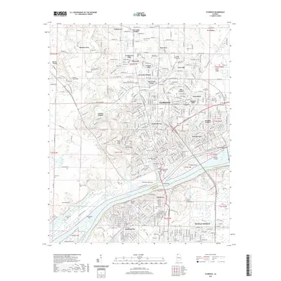
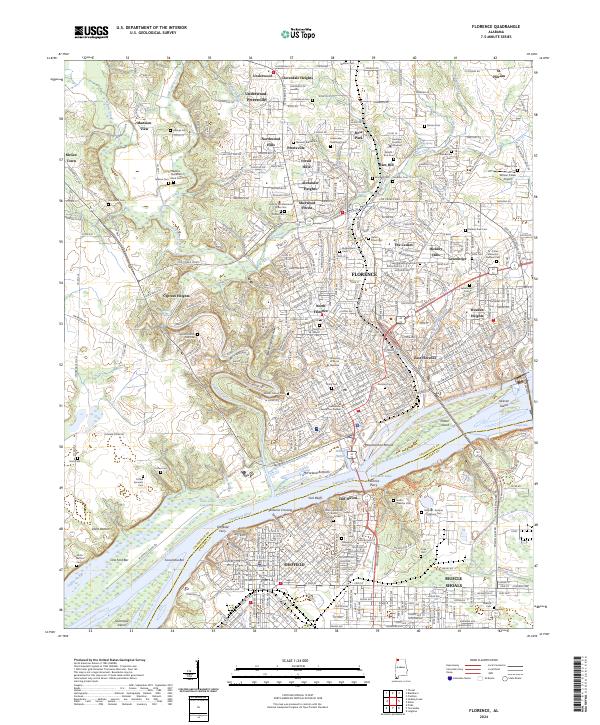 2024 Florence2024 Print · USGSFlorence and the surrounding riverfront communities are captured here along the Tennessee River. Genealogists and historians can locate numerous family and plantation burial grounds, such as Hickory Hill Plantation Slave Cem and Cypress Cotton Mill Cem.
End of results
Showing maps 1-10 of 10
Top cities near Oak Hill
- Florence historical maps
- Muscle Shoals historical maps
- Sheffield historical maps
- Tuscumbia historical maps
- Underwood-Petersville historical maps
- Loretto historical maps
See more
Frequently asked questions
- What are the different types of historical maps available for Oak Hill?
- What is the oldest map of Oak Hill?
- Where can I purchase historical maps of Oak Hill for my home or office?
- Where can I download high-res historical maps of Oak Hill?
- Are there historical topographic maps available for Oak Hill?
- Is there historical aerial imagery available for Oak Hill?
- Where are historical maps of Oak Hill sourced from?