2000s (21st Century) Maps of Jesseton, Alabama
Explore 6 historic maps of Jesseton from the 2000s (21st Century). These maps offer a rare glimpse into what life looked like during the 2000s — showing old roads, neighborhoods, homes, and landmarks that have changed or disappeared over time.
Whether you're researching your family's past, planning a metal detecting trip, or studying how Jesseton's landscape evolved across the 2000s, these high-resolution maps are a powerful tool for exploring the history of this region.
- Focus on a specific era: All maps on this page are from the 2000s, giving you a focused view of this time period.
- See what’s changed: Compare century-old streets, trails, and buildings to today's modern landscape using overlays and satellite layers.
- Research with precision: Use these maps for genealogy, historical research, land use analysis, or educational projects.
- View, download, or print: Maps are fully viewable online in high resolution, and can be downloaded or printed for your own records.
Start exploring Jesseton's history through authentic maps from the 2000s. This is your window into the past.
Jesseton, AL maps
(6)- 2000 Map of Oakville, 2003 Print
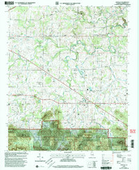 2000 Oakville2003 Print · USGSLawrence County at the turn of the millennium reveals a landscape of deep-rooted rural communities and forest borders. Genealogists can trace family names through dozens of landmarks like Moody Cem and Gillespie School or explore sites like the Indian Mound.
 - 2011 Map of Oakville, 2011 Print
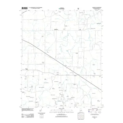 2011 Oakville2011 Print · USGSCovers Jesseton, including Moulton, Aldridge Grove, and other nearby areas
 - 2014 Map of Oakville, 2014 Print
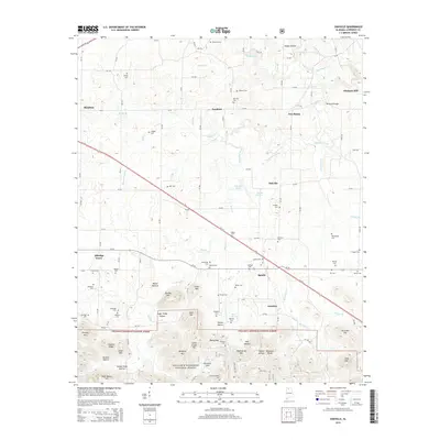 2014 Oakville2014 Print · USGSCovers Jesseton, including Moulton, Aldridge Grove, and other nearby areas
 - 2018 Map of Oakville, 2018 Print
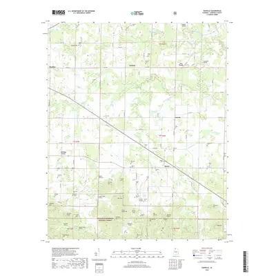 2018 Oakville2018 Print · USGSCovers Jesseton, including Moulton, Aldridge Grove, and other nearby areas
 - 2021 Map of Oakville, 2021 Print
 2021 Oakville2021 Print · USGSCovers Jesseton, including Moulton, Aldridge Grove, and other nearby areas
 - 2024 Map of Oakville, 2024 Print
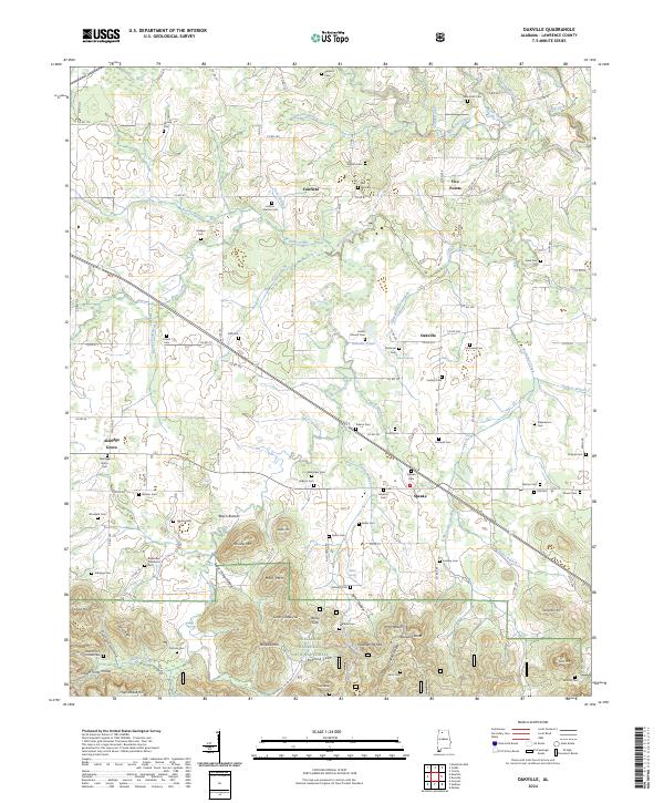 2024 Oakville2024 Print · USGSLawrence County, Alabama, is documented here in the early twenty-first century, showing the intersection of rural life and the protected timberlands. Researchers can trace ancestral locations near Oakville, find numerous family burial sites like Red Hill Cem, and locate landmarks such as Indian Mound and Hog Heaven.
End of results
Showing maps 1-6 of 6
Top cities near Jesseton
- Huntsville historical maps
- Decatur historical maps
- Hartselle historical maps
- Moulton historical maps
- Trinity historical maps
- West Point historical maps
See more
Frequently asked questions
- What are the different types of historical maps available for Jesseton?
- What is the oldest map of Jesseton?
- Where can I purchase historical maps of Jesseton for my home or office?
- Where can I download high-res historical maps of Jesseton?
- Are there historical topographic maps available for Jesseton?
- Is there historical aerial imagery available for Jesseton?
- Where are historical maps of Jesseton sourced from?