Old Maps of Bear Creek, Alabama for Academic Research
Study the evolution of Bear Creek with 35 high-resolution historic maps. Whether you're teaching, researching, or modeling changes in land use, these maps provide essential visual documentation of urban, environmental, and geographic change.
- Analyze long-term change: Track patterns in development, transportation, and natural features.
- Ideal for environmental or urban studies: Support academic projects with primary historical map data.
- Use in the classroom or lab: Educators and researchers rely on these maps to bring historical context to life.
These maps are a powerful tool for teaching, research, and visualizing how Bear Creek has changed over the decades.
Bear Creek, AL maps
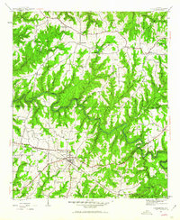
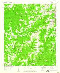
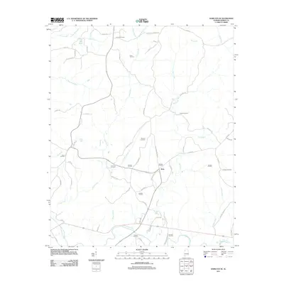
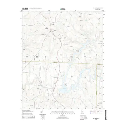
(35)- 1936 Map of Phil Campbell
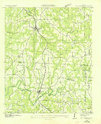 1936 Phil Campbell1936 Print · USGSNorthwest Alabama at the height of the mid-thirties shows a landscape of ridge-top settlements and creek-side industry. Genealogists can trace family roots through numerous rural landmarks like Morris Hill Ch, Phillips Sch, and the Lowler Mines.
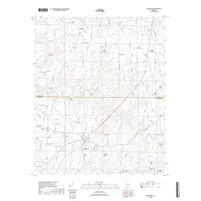
 - 1936 Map of South Of Hackleburg
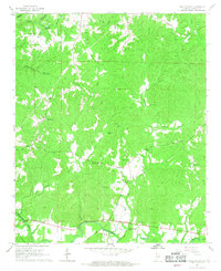
 1936 South Of Hackleburg1936 Print · USGSMarion County, Alabama, is captured in this mid-1930s field examination focused on the drainage of the Tennessee River system. Researchers can trace the hydrography of Brush Creek and the topography of the Basin and Divide.
 - 1936 Map of Hackleburg
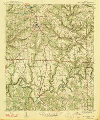
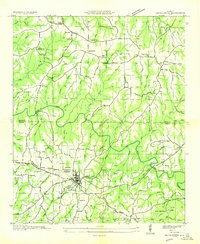 1936 Hackleburg1936 Print · USGSMarion and Franklin counties come into focus during the mid-thirties as the Tennessee Valley Authority began modernizing the rural landscape. Trace local heritage through landmarks like State Convict Camp D, the Jackson Military Road, and numerous family cemeteries including Grissom Cem.
 - 1936 Map of Goddard
 1936 Goddard1936 Print · USGSNorthern Alabama's ridgeline terrain is documented in the mid-1930s, showing the intersection of heavy rail and forest boundaries. Genealogists can locate Union Grove Ch and Goddard near the Southern rail line and Black Warrior National Forest.
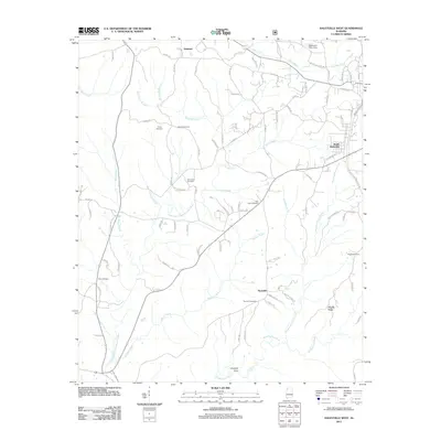
 - 1946 Map of Hackleburg, 1960 Print
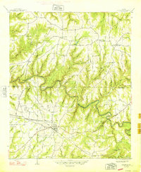
 1946 Hackleburg1960 Print · USGSHackleburg and the surrounding Marion County countryside are captured here in the mid-1940s, centered on the Illinois Central Railroad corridor. Researchers can locate early family landmarks like Lawler Cem or trace the old Military Road as it crosses Bear Creek.3 unique versions available
 - 1946 Map of Phil Campbell, 1967 Print
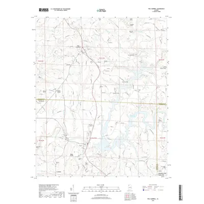
 1946 Phil Campbell1967 Print · USGSNorthwestern Alabama in the mid-1940s reveals a landscape defined by the SOUTHERN rail line and deep mining roots. Trace the locations of early rural schools and churches like Phillips High Sch and Shady Grove Ch, or locate old mines and the Donaldson Mill.3 unique versions available
 - 1947 Map of Phil Campbell
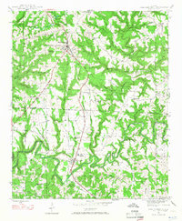
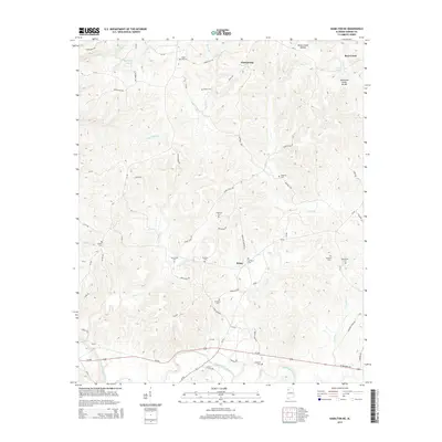
 1947 Phil Campbell1947 Print · USGSPhil Campbell and Bear Creek anchor this post-war survey of the Alabama hill country at a time when the Southern railroad still fueled local industry. Researchers can trace rural life through numerous sites like Phillips High Sch, Dime, and the Wilson Mine (Aband).2 unique versions available
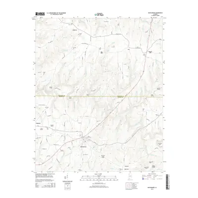
 - 1948 Map of Hackleburg
 1948 Hackleburg1948 Print · USGSHackleburg and the surrounding rural communities of Northwest Alabama are captured here shortly after the war, centered on the Illinois Central line. You can trace early transit routes along the Military Road and locate family landmarks like Lawler Cem and Gravel Hill School.2 unique versions available
 - 1956 Map of Gadsden, 1966 Print
 1956 Gadsden1966 Print · USGSNorth Alabama in the mid-1950s shows a region transformed by river engineering and federal industry. Genealogists and local historians can trace the development of the Tennessee Valley through the growth of Huntsville, the sprawling Redstone Arsenal, and the expansive Guntersville Lake.3 unique versions available
 - 1958 Map of Gadsden
 1958 Gadsden1958 Print · USGSNorth Alabama comes alive in the late 1950s as the Tennessee Valley Authority’s massive river projects and the rise of the space industry reshaped the landscape. Researchers can trace the mid-century footprints of Huntsville, Redstone Arsenal, and the riverside rail networks of the Southern railroad.
 - 1958 Map of Haleyville West, 1960 Print
 1958 Haleyville West1960 Print · USGSMarion County in the late fifties remains a landscape of remote hollows and high ridges near the William B Bankhead National Forest. Genealogists and historians can trace family locations through sites like Old Ireland Cem, Goddard, and the Craft Sch.3 unique versions available
 - 1960 Map of Gadsden
 1960 Gadsden1960 Print · USGSNorthern Alabama in the mid-1950s is defined by the mighty Tennessee River and its massive reservoirs. Trace the development of Huntsville and Redstone Arsenal or explore the vast William B Bankhead National Forest.2 unique versions available
 - 1963 Map of Gadsden
 1963 Gadsden1963 Print · USGSNorthern Alabama underwent a dramatic mid-century transformation as the Tennessee Valley became a hub for defense and industry. Researchers can trace the development of the Redstone Arsenal, the route of the Natchez Trace Parkway, and long-standing rail lines like the Southern Railway.
 - 1967 Map of Hamilton NE, 1968 Print
 1967 Hamilton NE1968 Print · USGSMarion County's rural landscape comes into focus during the mid-sixties, centered on the winding Buttahatchee River. Researchers can trace family roots through numerous sites like Federick Cem, Union Hill Ch, and the Southern Schoolhouse Ch.2 unique versions available
 - 1980 Map of Haleyville, 1983 Print
 1980 Haleyville1983 Print · USGSNorthwest Alabama at the start of the eighties shows a landscape of deep forests and new reservoirs as modern infrastructure settled into the hills. Researchers can trace the rail lines of the Southern and Illinois Central Gulf through towns like Haleyville, Moulton, and Natural Bridge.
 - 2011 Map of Hackleburg, 2011 Print
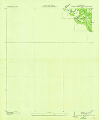
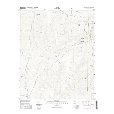
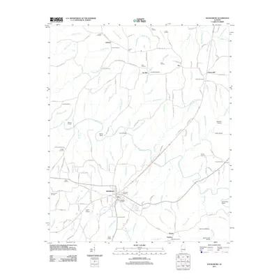 2011 Hackleburg2011 Print · USGSCovers Bear Creek, including Hackleburg, Gravel Hill, and other nearby areas
 - 2011 Map of Phil Campbell, 2011 Print
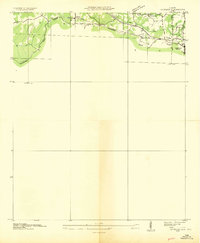
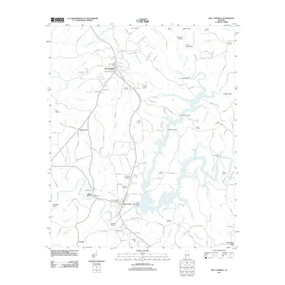 2011 Phil Campbell2011 Print · USGSCovers Bear Creek, including Haleyville, Phil Campbell, and other nearby areas
 - 2011 Map of Hamilton NE, 2011 Print
 2011 Hamilton NE2011 Print · USGSCovers Bear Creek, including Hackleburg, Brinn, and other nearby areas
 - 2011 Map of Haleyville West, 2011 Print
 2011 Haleyville West2011 Print · USGSCovers Bear Creek, including Haleyville, Thornhill, and other nearby areas
 - 2014 Map of Hackleburg, 2014 Print
 2014 Hackleburg2014 Print · USGSCovers Bear Creek, including Hackleburg, Gravel Hill, and other nearby areas
 - 2014 Map of Haleyville West, 2014 Print
 2014 Haleyville West2014 Print · USGSCovers Bear Creek, including Haleyville, Thornhill, and other nearby areas
 - 2014 Map of Hamilton NE, 2014 Print
 2014 Hamilton NE2014 Print · USGSCovers Bear Creek, including Hackleburg, Brinn, and other nearby areas
 - 2014 Map of Phil Campbell, 2014 Print
 2014 Phil Campbell2014 Print · USGSCovers Bear Creek, including Haleyville, Phil Campbell, and other nearby areas
 - 2018 Map of Hackleburg, 2018 Print
 2018 Hackleburg2018 Print · USGSCovers Bear Creek, including Hackleburg, Gravel Hill, and other nearby areas
 - 2018 Map of Phil Campbell, 2018 Print
 2018 Phil Campbell2018 Print · USGSCovers Bear Creek, including Haleyville, Phil Campbell, and other nearby areas
Showing maps 1-25 of 35
Top cities near Bear Creek
- Russellville historical maps
- Hamilton historical maps
- Haleyville historical maps
- Hackleburg historical maps
- Phil Campbell historical maps
- Brilliant historical maps
See more
Top neighborhoods of Bear Creek
Frequently asked questions
- What are the different types of historical maps available for Bear Creek?
- What is the oldest map of Bear Creek?
- Where can I purchase historical maps of Bear Creek for my home or office?
- Where can I download high-res historical maps of Bear Creek?
- Are there historical topographic maps available for Bear Creek?
- Is there historical aerial imagery available for Bear Creek?
- Where are historical maps of Bear Creek sourced from?