Old Maps of Le Grand, Alabama for Genealogy
Trace your family roots with 11 historic maps of Le Grand. These high-res maps reveal old neighborhoods, homesites, landmarks, and streets — helping you uncover where your ancestors lived and how the area evolved over time.
- Explore historic neighborhoods: Identify where your relatives may have lived in the 1800s or 1900s.
- Compare maps over time: Trace the changes in streets, buildings, and landmarks for multi-generational research.
- Perfect for genealogy & ancestry research: Used by family historians and researchers to map out lineage and migration.
These maps are an incredible resource for exploring your personal connection to Le Grand's past.
Le Grand, AL maps
(11)- 1953 Map of Montgomery, 1964 Print
 1953 Montgomery1964 Print · USGSCentral Alabama's river-and-rail corridor is mapped here in the mid-fifties, showing the vital connections between the capital and the Black Belt. Genealogists and historians can trace rail depots and crossroads from Marion Junction to Wetumpka, alongside landmarks like Craig AFB.4 unique versions available
 - 1956 Map of Montgomery
 1956 Montgomery1956 Print · USGSCentral Alabama in the mid-1950s shows a landscape defined by its great river systems and a booming military aviation presence. Genealogists and historians can trace the rail corridors of the Southern Railway and locate tactical bases like Maxwell AFB and Craig AFB.
 - 1957 Map of Montgomery
 1957 Montgomery1957 Print · USGSCentral Alabama in the mid-fifties is defined by the winding Alabama River and a strategic network of military bases and rail lines. Trace family roots in Montgomery and Selma, or locate landmarks like Craig AFB and the State Capitol before the interstate era.
 - 1957 Map of Letohatchee, 1958 Print
 1957 Letohatchee1958 Print · USGSSouthern Montgomery and Lowndes counties are shown here in the mid-fifties, dominated by timbered creek bottoms and small agricultural centers. Genealogists can trace family names at Shackelford Cem, Letohatchee, and the Louisville and Nashville RR corridor.
 - 1981 Map of Snowdoun
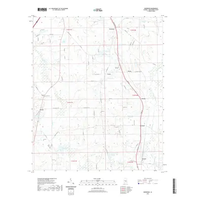
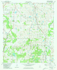 1981 Snowdoun1981 Print · USGSRural Montgomery County comes into focus in the early 1980s, documenting a landscape of rail-side hamlets and family-named homesteads. Researchers can trace the Seaboard Coast Line as it passes Snowdoun and Sprague, or locate family sites like Shackelford Cem and Beulah Ch.2 unique versions available
 - 1986 Map of Montgomery
 1986 Montgomery1986 Print · USGSCentral Alabama's river-and-rail corridor is captured in the mid-1980s, centered on the state capital and its surrounding rural counties. Researchers can trace ancestral landmarks like Oakwood Cemetery, military sites like Maxwell Air Force Base, and small towns such as Lowndesboro.2 unique versions available
 - 2011 Map of Snowdoun, 2011 Print
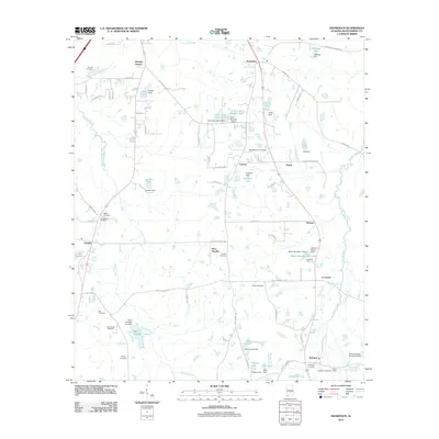 2011 Snowdoun2011 Print · USGSCovers Le Grand, including Roxana, Hunting Downs, and other nearby areas
 - 2014 Map of Snowdoun, 2014 Print
 2014 Snowdoun2014 Print · USGSCovers Le Grand, including Roxana, Hunting Downs, and other nearby areas
 - 2018 Map of Snowdoun, 2018 Print
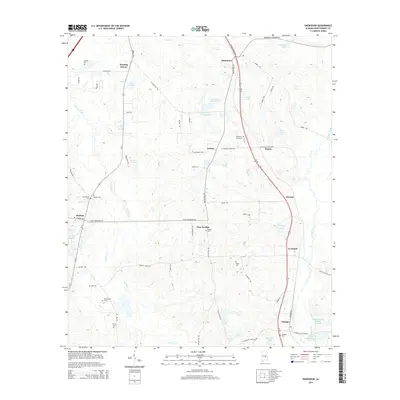
 2018 Snowdoun2018 Print · USGSCovers Le Grand, including Roxana, Hunting Downs, and other nearby areas
 - 2020 Map of Snowdoun, 2020 Print
 2020 Snowdoun2020 Print · USGSCovers Le Grand, including Roxana, Hunting Downs, and other nearby areas
 - 2024 Map of Snowdoun, 2024 Print
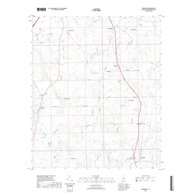
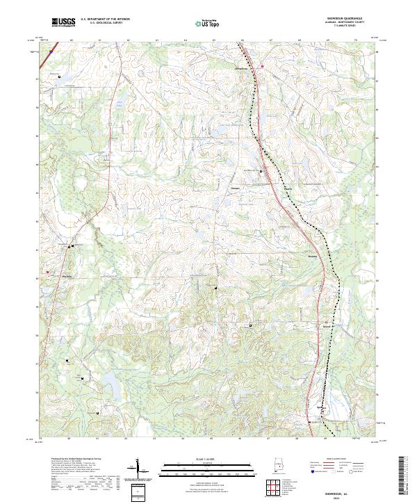 2024 Snowdoun2024 Print · USGSMontgomery County’s rural crossroads and family settlements are captured here in the early twenty-first century. Genealogists and local historians can locate many small burial sites like Strokes Cem and Sankey Cem near the banks of Pintlala Creek.
End of results
Showing maps 1-11 of 11
Top cities near Le Grand
Frequently asked questions
- What are the different types of historical maps available for Le Grand?
- What is the oldest map of Le Grand?
- Where can I purchase historical maps of Le Grand for my home or office?
- Where can I download high-res historical maps of Le Grand?
- Are there historical topographic maps available for Le Grand?
- Is there historical aerial imagery available for Le Grand?
- Where are historical maps of Le Grand sourced from?