2000s (21st Century) Maps of Hartselle, Alabama
Explore 12 historic maps of Hartselle from the 2000s (21st Century). These maps offer a rare glimpse into what life looked like during the 2000s — showing old roads, neighborhoods, homes, and landmarks that have changed or disappeared over time.
Whether you're researching your family's past, planning a metal detecting trip, or studying how Hartselle's landscape evolved across the 2000s, these high-resolution maps are a powerful tool for exploring the history of this region.
- Focus on a specific era: All maps on this page are from the 2000s, giving you a focused view of this time period.
- See what’s changed: Compare century-old streets, trails, and buildings to today's modern landscape using overlays and satellite layers.
- Research with precision: Use these maps for genealogy, historical research, land use analysis, or educational projects.
- View, download, or print: Maps are fully viewable online in high resolution, and can be downloaded or printed for your own records.
Start exploring Hartselle's history through authentic maps from the 2000s. This is your window into the past.
Hartselle, AL maps
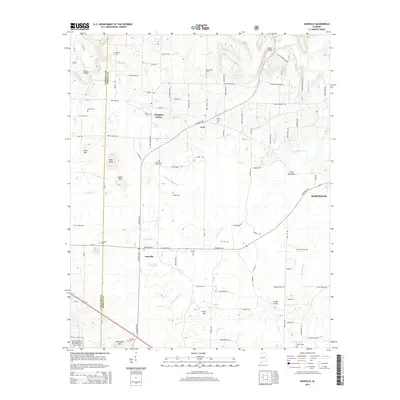
(12)- 2000 Map of Danville, 2003 Print
 2000 Danville2003 Print · USGSMorgan County's rural character and transition to the Bankhead National Forest are captured here just after the millennium. Researchers can locate family roots at Stovall Cemetery and Puckett Cemetery or trace the early paths of Danville and Pumpkin Center.
 - 2011 Map of Danville, 2011 Print
 2011 Danville2011 Print · USGSCovers Hartselle, including Pumpkin Center, Neel, and other nearby areas
 - 2011 Map of Hartselle, 2011 Print
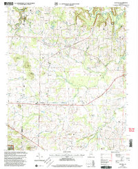
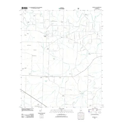
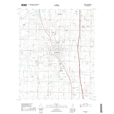
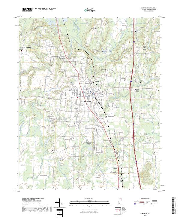
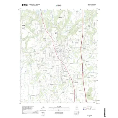
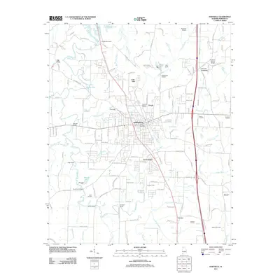 2011 Hartselle2011 Print · USGSCovers Hartselle, including Decatur, Falkville, and other nearby areas
 - 2014 Map of Hartselle, 2014 Print
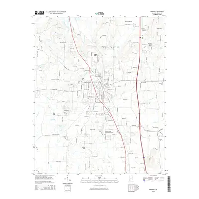 2014 Hartselle2014 Print · USGSCovers Hartselle, including Decatur, Falkville, and other nearby areas
 - 2014 Map of Danville, 2014 Print
 2014 Danville2014 Print · USGSCovers Hartselle, including Pumpkin Center, Neel, and other nearby areas
 - 2018 Map of Hartselle, 2018 Print
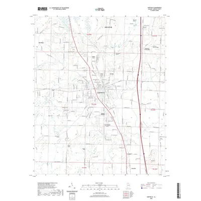
 2018 Hartselle2018 Print · USGSCovers Hartselle, including Decatur, Falkville, and other nearby areas
 - 2018 Map of Danville, 2018 Print
 2018 Danville2018 Print · USGSCovers Hartselle, including Pumpkin Center, Neel, and other nearby areas
 - 2020 Map of Hartselle, 2020 Print
 2020 Hartselle2020 Print · USGSCovers Hartselle, including Decatur, Falkville, and other nearby areas
 - 2021 Map of Danville, 2021 Print
 2021 Danville2021 Print · USGSCovers Hartselle, including Pumpkin Center, Neel, and other nearby areas
 - 2024 Map of Hartselle, 2024 Print
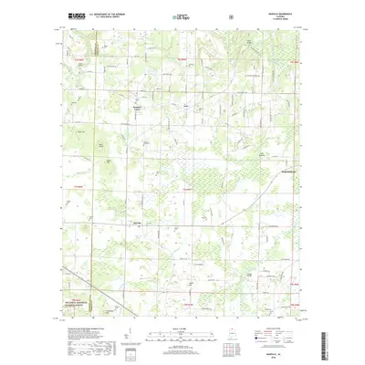
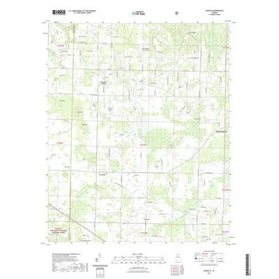
 2024 Hartselle2024 Print · USGSCentered on Morgan County during the early twenty-first century, this map shows the rural character of the Tennessee Valley foothills and the growth of Hartselle. Genealogists can trace family landmarks like Moss Chapel, Liberty Cem, and the unique Hartselle Natural Bridge.
 - 2024 Map of Danville, 2024 Print
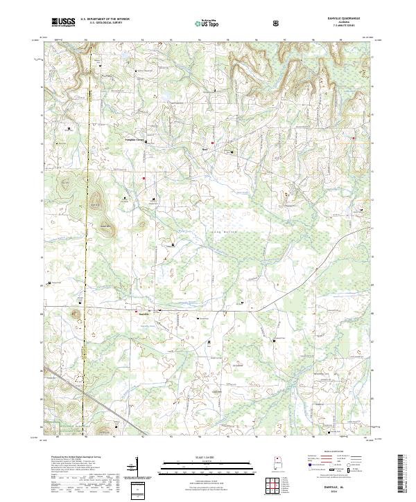 2024 Danville2024 Print · USGSThe rural landscapes of Morgan and Lawrence Counties come into focus during this modern era of North Alabama history. Genealogists and local researchers can trace family landmarks across the countryside, from the Daniel Gravesite and Stovall Cem to the outskirts of Pumpkin Center.
 - 2026 Map of Hartselle, 2026 Print
 2026 Hartselle2026 Print · USGSCovers Hartselle, including Decatur, Falkville, and other nearby areas
End of results
Showing maps 1-12 of 12
Top cities near Hartselle
- Huntsville historical maps
- Decatur historical maps
- Madison historical maps
- Cullman historical maps
- Priceville historical maps
- Triana historical maps
See more
Top neighborhoods of Hartselle
Frequently asked questions
- What are the different types of historical maps available for Hartselle?
- What is the oldest map of Hartselle?
- Where can I purchase historical maps of Hartselle for my home or office?
- Where can I download high-res historical maps of Hartselle?
- Are there historical topographic maps available for Hartselle?
- Is there historical aerial imagery available for Hartselle?
- Where are historical maps of Hartselle sourced from?