Old Maps of Pumpkin Center, Alabama for Academic Research
Study the evolution of Pumpkin Center with 15 high-resolution historic maps. Whether you're teaching, researching, or modeling changes in land use, these maps provide essential visual documentation of urban, environmental, and geographic change.
- Analyze long-term change: Track patterns in development, transportation, and natural features.
- Ideal for environmental or urban studies: Support academic projects with primary historical map data.
- Use in the classroom or lab: Educators and researchers rely on these maps to bring historical context to life.
These maps are a powerful tool for teaching, research, and visualizing how Pumpkin Center has changed over the decades.
Pumpkin Center, AL maps
(15)- 1935 Map of Danville
 1935 Danville1935 Print · USGSIn the mid-thirties, the borderlands of Lawrence and Morgan counties featured a landscape of remote stores and hilltop churches. Genealogists can trace family footprints at Strauge Crossroads or locate the ancient Indian Mounds near Oakville.2 unique versions available
 - 1936 Map of Stroups Crossroads
 1936 Stroups Crossroads1936 Print · USGSIn the mid-1930s, this portion of Morgan County was defined by its transition toward a reservoir-based economy near Stroups Crossroads. Researchers can locate old community landmarks like Rocky Ford Sch, the Means Bridge, and the Danville Pond.
 - 1938 Map of Danville
 1938 Danville1938 Print · USGSNorthern Alabama’s uplands are captured here in the mid-1930s, showing the early boundaries of the Black Warrior National Forest. Researchers can locate rural schools and churches like Speake Sch and Evergreen Ch or trace old crossings at McDaniel Bridge.2 unique versions available
 - 1956 Map of Gadsden, 1966 Print
 1956 Gadsden1966 Print · USGSNorth Alabama in the mid-1950s shows a region transformed by river engineering and federal industry. Genealogists and local historians can trace the development of the Tennessee Valley through the growth of Huntsville, the sprawling Redstone Arsenal, and the expansive Guntersville Lake.3 unique versions available
 - 1958 Map of Gadsden
 1958 Gadsden1958 Print · USGSNorth Alabama comes alive in the late 1950s as the Tennessee Valley Authority’s massive river projects and the rise of the space industry reshaped the landscape. Researchers can trace the mid-century footprints of Huntsville, Redstone Arsenal, and the riverside rail networks of the Southern railroad.
 - 1960 Map of Gadsden
 1960 Gadsden1960 Print · USGSNorthern Alabama in the mid-1950s is defined by the mighty Tennessee River and its massive reservoirs. Trace the development of Huntsville and Redstone Arsenal or explore the vast William B Bankhead National Forest.2 unique versions available
 - 1960 Map of Danville, 1961 Print
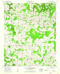 1960 Danville1961 Print · USGSIn the early sixties, the border of Lawrence and Morgan Counties remained a landscape of timber and tobacco farms. Researchers can trace ancestral roots at Harmony Grove Cemetery or locate old landmarks like the Midway School and Danville Airport.3 unique versions available
 - 1963 Map of Gadsden
 1963 Gadsden1963 Print · USGSNorthern Alabama underwent a dramatic mid-century transformation as the Tennessee Valley became a hub for defense and industry. Researchers can trace the development of the Redstone Arsenal, the route of the Natchez Trace Parkway, and long-standing rail lines like the Southern Railway.
 - 1980 Map of Haleyville, 1983 Print
 1980 Haleyville1983 Print · USGSNorthwest Alabama at the start of the eighties shows a landscape of deep forests and new reservoirs as modern infrastructure settled into the hills. Researchers can trace the rail lines of the Southern and Illinois Central Gulf through towns like Haleyville, Moulton, and Natural Bridge.
 - 2000 Map of Danville, 2003 Print
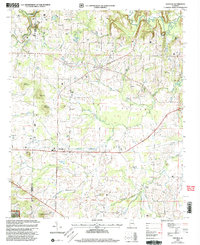 2000 Danville2003 Print · USGSMorgan County's rural character and transition to the Bankhead National Forest are captured here just after the millennium. Researchers can locate family roots at Stovall Cemetery and Puckett Cemetery or trace the early paths of Danville and Pumpkin Center.
 - 2011 Map of Danville, 2011 Print
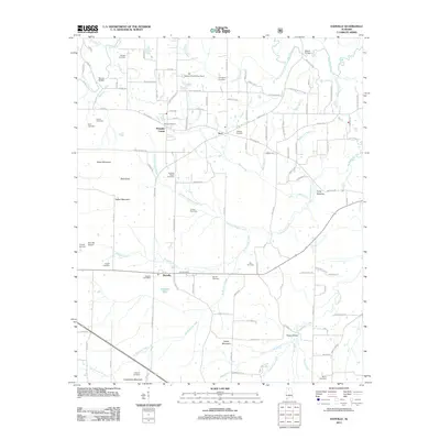 2011 Danville2011 Print · USGSMorgan County is shown here in the early twenty-first century as a landscape of small crossroads communities and family legacies. Researchers can trace ancestral locations through the many burial grounds like O'Neal Cemetery or find rural landmarks such as Blowing Spring and the Alabama Sheriffs Boys Ranch.
 - 2014 Map of Danville, 2014 Print
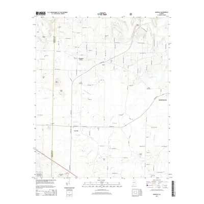 2014 Danville2014 Print · USGSThe rural landscape around Danville and Neel is documented here in the early twenty-first century. Genealogists and historians can trace family locations through numerous sites like Stover Cem, Johnson Chapel Cem, and Teague Bridge along the county line.
 - 2018 Map of Danville, 2018 Print
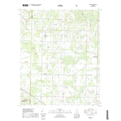 2018 Danville2018 Print · USGSMorgan County in the late twenty-teens maintains its traditional rural character near the edge of the Bankhead National Forest. Genealogists and local historians can trace family locations through numerous sites like Johnson Chapel Cem, Puckett Cem, and the small settlement of Pumpkin Center.
 - 2021 Map of Danville, 2021 Print
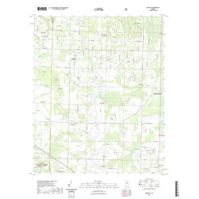 2021 Danville2021 Print · USGSMorgan County in the early 2020s shows a landscape of deep-rooted rural communities and upland forest. Genealogists can trace family landmarks and burial sites like Johnson Chapel Cem and Stovall Cem near the foothills of Isabel Mtn and Friendship Mtn.
 - 2024 Map of Danville, 2024 Print
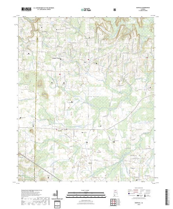 2024 Danville2024 Print · USGSThe rural landscapes of Morgan and Lawrence Counties come into focus during this modern era of North Alabama history. Genealogists and local researchers can trace family landmarks across the countryside, from the Daniel Gravesite and Stovall Cem to the outskirts of Pumpkin Center.
End of results
Showing maps 1-15 of 15
Top cities near Pumpkin Center
- Huntsville historical maps
- Decatur historical maps
- Athens historical maps
- Cullman historical maps
- Hartselle historical maps
- Priceville historical maps
See more
Frequently asked questions
- What are the different types of historical maps available for Pumpkin Center?
- What is the oldest map of Pumpkin Center?
- Where can I purchase historical maps of Pumpkin Center for my home or office?
- Where can I download high-res historical maps of Pumpkin Center?
- Are there historical topographic maps available for Pumpkin Center?
- Is there historical aerial imagery available for Pumpkin Center?
- Where are historical maps of Pumpkin Center sourced from?